Directory

Search results

Published directory entries matching your search.

Search results

13 listings
google.com

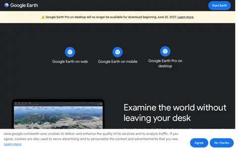
Google Earth is available on web, mobile and desktop. On mobile it allows users to browse the globe, add placemarks and annotate maps. On desktop, Google Earth Pro offers advanced tools including importing and exporting GIS data and viewing historical imagery, on PC, Mac or Linux.

Maps & Navigation 0
developers.google.com

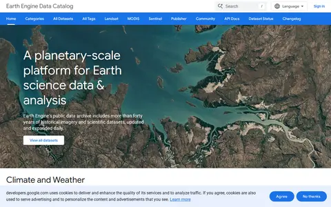
Google Earth Engine catalog of satellite imagery, climate data, land cover, and geospatial datasets.

Geolocation Tools 0
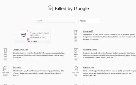
killedbygoogle.com

Killed by Google is an open source list of dead Google products, services and devices, presented as a graveyard or memorial. The page lists entries such as ChromeOS, Google Earth Pro, Firebase Studio, Tenor API and Pixel Studio, with categories for apps, services and hardware.

History & Humanities 0
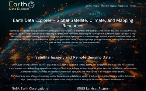
geongrid.org

GEON is a guide to Earth observation data and mapping tools. It points to resources including satellite imagery, terrain data, atmospheric datasets, and tools such as NASA Worldview, Google Earth, and the Shuttle Radar Topography Mission (SRTM) dataset. It hosts an Earth Data Explorer that serves as a central hub for global Earth science data resources used in science, education, and environmental planning.

Dataset & Data Search 0
google.com

Google Maps provides maps, directions, satellite views, business listings, street views, and location search.

Maps & Navigation 0
Preview unavailable
shademap.app

ShadeMap is an online tool that simulates sun shadows for any date and time at any place on Earth. It simulates shadows cast by buildings, trees and terrain in 3D and can generate shadow accumulation and shadow accrual maps. The service runs online without installing or buying Google Earth Pro.

Space & Astronomy 0
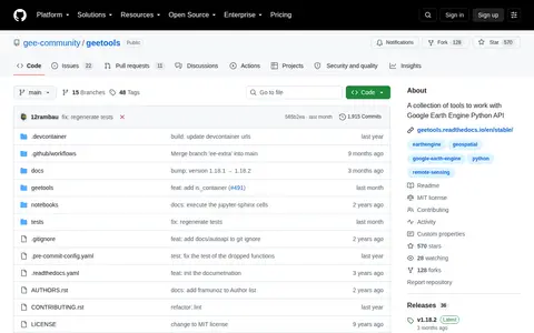
github.com

A collection of tools to work with Google Earth Engine Python API

Google Communities & Tools 0
Preview unavailable
gpsvisualizer.com

GPS Visualizer is an online utility that creates customizable maps and profiles from GPS data such as tracklogs and waypoints, addresses, or coordinates. Input can include driving routes, street addresses, or simple coordinates, and output includes Leaflet/Google maps, Google Earth KML, and JPG/PNG/SVG maps. The site states it has been on the Web since October 2002.

Maps & Navigation 0

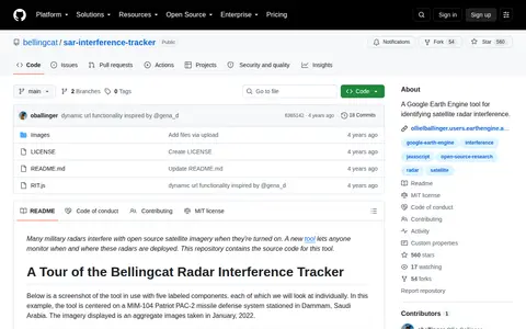
A Google Earth Engine tool for identifying satellite radar interference.

Google Communities & Tools 0
lines.chromeexperiments.com

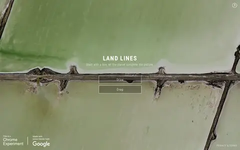
Land Lines is a Chrome experiment that lets users explore real Google Earth satellite imagery through gesture. Drawing finds satellite images matching a line, while dragging creates an infinite line of connected rivers, highways and coastlines. It runs in a phone or desktop browser without backend servers using machine learning and WebGL.

Fun & Interesting 0
ntgs-open-data-ntgs.hub.arcgis.com

The Northwest Territories Geological Survey Open Data portal provides a collection of geoscience information for the Northwest Territories. The survey, based in Yellowknife, formats the data for use in Excel, ArcGIS, and Google Earth.

Dataset & Data Search 0
nuclearsecrecy.com

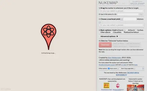
NUKEMAP is a website created by Alex Wellerstein for visualizing the effects of nuclear detonations. Users drag a marker to a target, choose a warhead yield or preset, and detonate; the map renders effects and supports export to Google Earth as KMZ.

Maps & Navigation 0

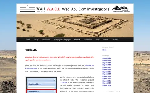
Web GIS presenting raw survey data from the Wadi Abu Dom Itinerary project, developed with the Institute for Geoinformatics of the WWU Muenster. The platform is currently shared with the Doliche research project. It offers a layer tree for loading datasets and background maps such as Open Street Map or Google Earth, and allows uploading gpx or kml data for private comparison.

Dataset & Data Search 0