



ramadda.unidata.ucar.edu
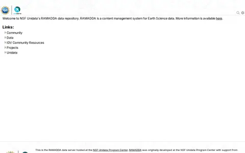
RAMADDA is presented as a content management system for Earth Science data, hosted at the NSF Unidata Program Center. The site is described as NSF Unidata's RAMADDA data repository and notes that RAMADDA was originally developed at the NSF Unidata Program Center with support from the National Science Foundation.