GPS Visualizer is an online utility that creates customizable maps and profiles from GPS data such as tracklogs and waypoints, addresses, or coordinates. Input can include driving routes, street addresses, or simple coordinates, and output includes Leaflet/Google maps, Google Earth KML, and JPG/PNG/SVG maps. The site states it has been on the Web since October 2002.

Directory
Search results
Published directory entries matching your search.
Cell tower locator that converts cell ID and network details into approximate GPS coordinates.
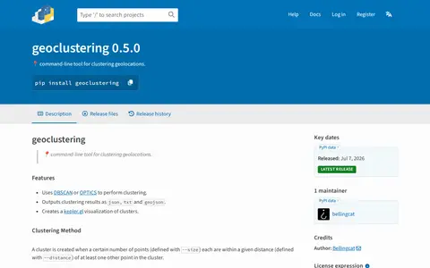
Python package for clustering geographic coordinates and grouping location data points.
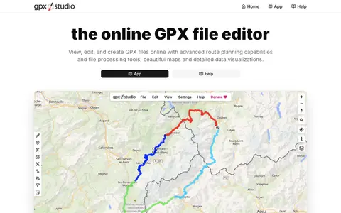
GPX Studio edits, merges, cleans, and visualizes GPS tracks and route files in the browser.
Picarta uses AI to predict where a photo was taken, returning estimated GPS coordinates, city, and country with confidence scores. It analyzes visual clues in the image rather than relying on EXIF metadata or embedded GPS tags. The project offers a web app and an API, with on-premise deployment for enterprise clients.
Geolocation OSINT tool for collecting location clues from social media and online sources.
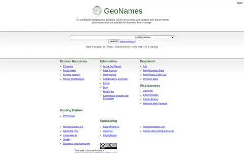
GeoNames is a geographical database covering all countries, containing over eleven million placenames available for free download. It provides REST web services for accessing geographical data, with both free and premium service tiers, including data on elevation, country codes, and postal codes.
Jimpl is an online EXIF metadata viewer for photos and images. Users upload a photo, view recorded metadata such as date, time, camera settings and GPS coordinates, and can download the photo with EXIF data removed. Uploads are limited to 50 MB and photos are deleted after 24 hours.