




A browser-based tool for viewing, editing and removing EXIF metadata from images. It displays metadata by category, allows field edits and stripping, and processes files locally so images are not uploaded, according to the site.
jimpl.com
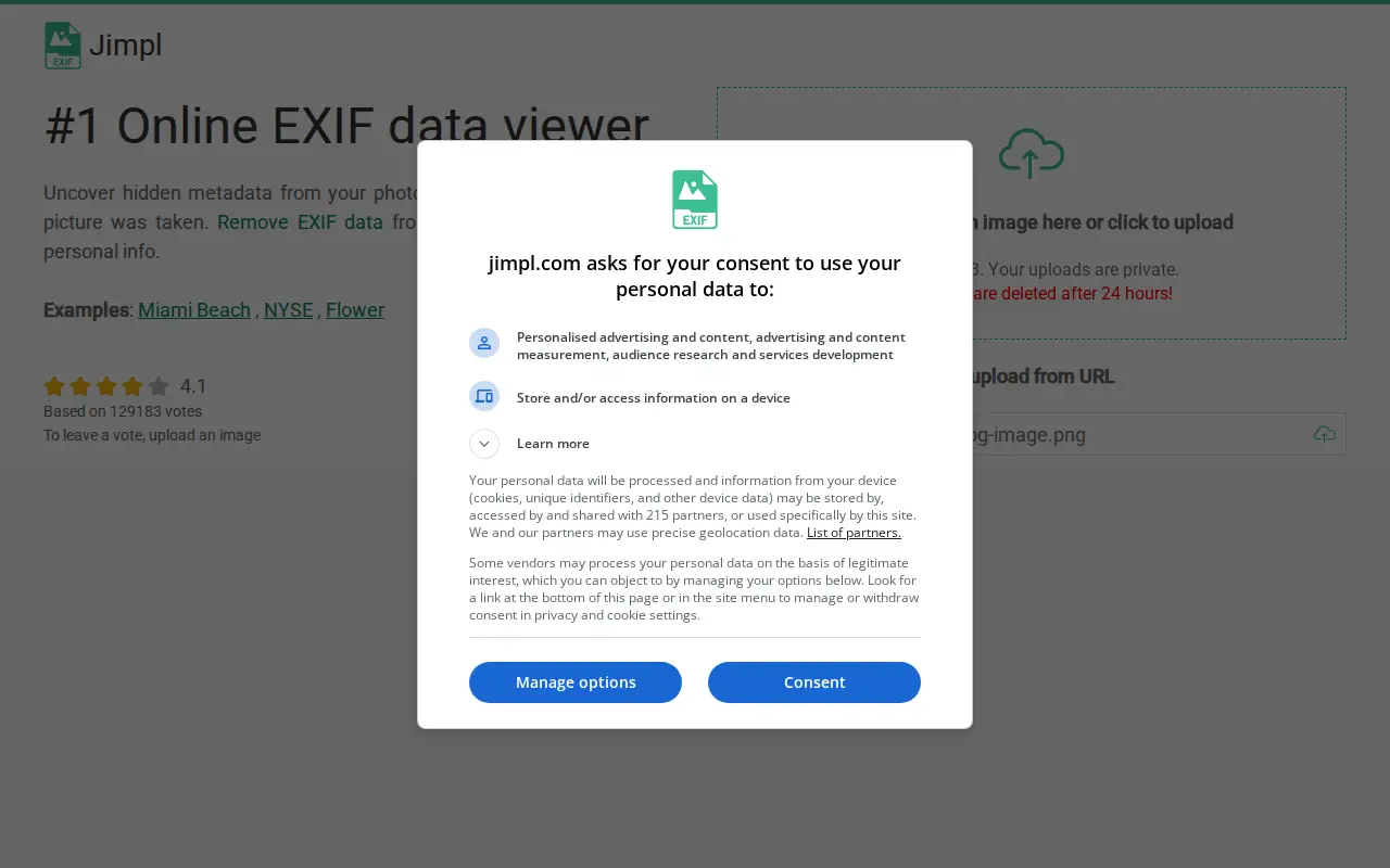
Jimpl is an online EXIF metadata viewer for photos and images. Users upload a photo, view recorded metadata such as date, time, camera settings and GPS coordinates, and can download the photo with EXIF data removed. Uploads are limited to 50 MB and photos are deleted after 24 hours.
Features
- View EXIF metadata of photos and images online Source: jimpl.com
- Download the photo with EXIF data removed Source: jimpl.com
Links
Tags
-
0A browser-based tool for viewing, editing and removing EXIF metadata from images. It displays metadata by category, allows field edits and stripping, and processes files locally so images are not uploaded, according to the site.

-
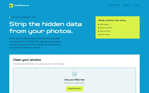
0ExifRemove is a browser-based tool that removes EXIF, GPS, and other embedded metadata from JPEG photos. It processes several photos at once and allows download individually or as a ZIP; files stay on the user's device. It supports JPEG files only, up to 25 MB each and 50 photos or 200 MB per batch.
-
0Web-based EXIF editor for viewing and editing metadata embedded in multimedia files. Files can be uploaded directly or processed from Flickr, Dropbox, and Google Drive after linking accounts. Supported formats include JPEG, PNG, TIFF, GIF, MP4, and PDF. The free tier allows 25 MB uploads, while the premium subscription allows up to 100 simultaneous files and 300 MB total.
-
0Pic2Map is an online EXIF data viewer with GPS support that allows users to locate and view photos on a map. It uses EXIF data found in photos from digital cameras, smartphones, and tablets. Without GPS data, it still serves as an online EXIF data viewer.
-
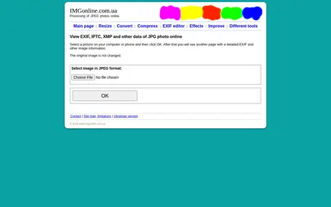
0ViewEXIF is an online tool that displays detailed EXIF, IPTC, and XMP metadata from JPEG photos, including camera model, ISO, aperture, and shutter speed. Users select an image and the tool shows the information on a new page without modifying the original.
-
0Picarta uses AI to predict where a photo was taken, returning estimated GPS coordinates, city, and country with confidence scores. It analyzes visual clues in the image rather than relying on EXIF metadata or embedded GPS tags. The project offers a web app and an API, with on-premise deployment for enterprise clients.
Community notes
Reviews and discussion
No reviews yet
Be the first to share how this project worked for you.
Join the discussion
Sign in with a verified account to leave a review or join the discussion.
Sign in to review