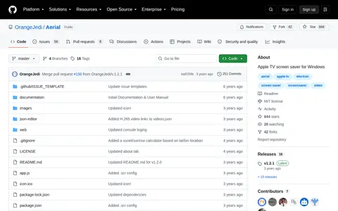

Aerial is a Windows screen saver that mimics Apple's Apple TV screen saver. It plays videos Apple shot of cities, landscapes, underwater scenes, and the earth from the ISS. Users can limit which videos play or randomly play them all, and it can download videos for offline viewing.
Directory
Search results
Published directory entries matching your search.
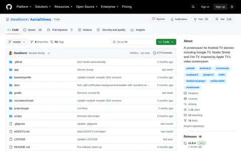
AerialViews is a screensaver application for Android TV devices, including Google TV, Nvidia Shield, and Fire TV. It is inspired by the video screensaver feature of Apple TV, and its source code is hosted on GitHub.
Airpano is a virtual travel project created by a team of Russian photographers. It focuses on producing high-resolution aerial 360° photographs and 360° video. It is described as the largest virtual travel resource in the world by geographical coverage, number of aerial photographs, and artistic and technical image quality. It offers 360° panoramas, 360° videos, gigapanoramas, timelapses, virtual tours, stock photos, stock 360° videos, applications, exhibition installations, and touch screen content.
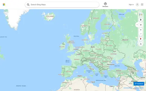
Bing Maps provides web maps, directions, traffic views, aerial imagery, and place search.
City Online is the City of Calgary's portal for purchasing property information, geospatial data, maps and drawings, and aerial imagery. Products include property reports purchased per property address and geospatial data sold per ATS section. The site also links to the Open Data Portal, map gallery, Assessment Search and other City resources.
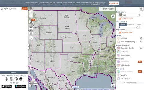
CalTopo is a backcountry mapping tool offering trip planning tools and topographic maps, including USGS and USFS topos and aerial imagery. It supports printing to geospatial PDFs, exporting to KMZ and MBTiles, elevation profiles and terrain analysis, and finding shared maps from other users.
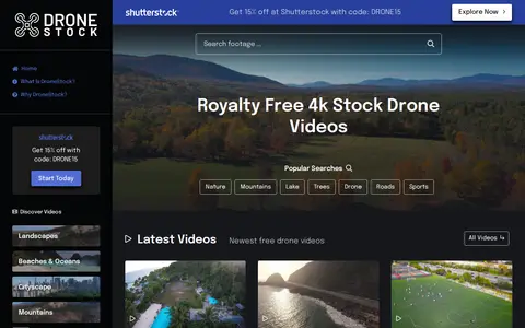
Drone stock footage library for aerial video clips and cinematic location shots.
Eyecandy is a visual technique library that lists and breaks down named visual techniques. The catalog includes categories such as Aerial, Animation, Bullet Time, Cinemagraph, Dolly Zoom, Dutch Angle, FPV Drone, Slow Motion, Split Screen and Stop Motion, along with an About section covering how to use the site, how to be featured and category naming.
Historic Aerials is an online collection of historical aerial imagery, topographic maps, and modern aerials covering the United States. An interactive viewer lets users explore locations, zoom, and switch between decades, with imagery dating back to the 1920s. The service offers subscriptions and individual purchases of digital downloads and prints.
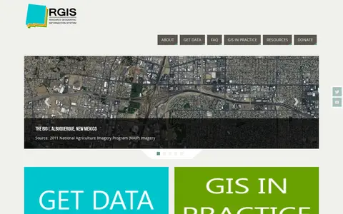
The New Mexico Resource Geographic Information System Program provides a data portal for GIS information. Its Image Archive Program, maintained by the Earth Data Analysis Center at the University of New Mexico, hosts historical aerial photography data for New Mexico and the US Southwest, alongside space shuttle imagery, satellite imagery, topographic maps, and digital data.
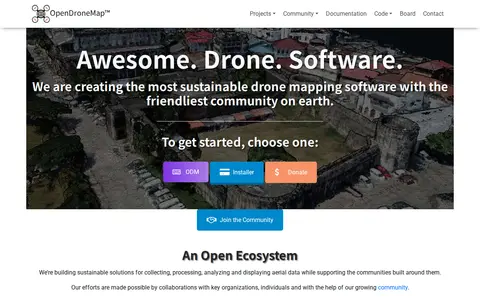
OpenDroneMap is drone mapping software that generates maps, point clouds, 3D models and DEMs from images taken by any camera in any orientation. Its ecosystem includes ODM, a command line toolkit for processing aerial images from drones, balloons or kites, plus NodeODM, CloudODM, PyODM, ClusterODM and other projects.
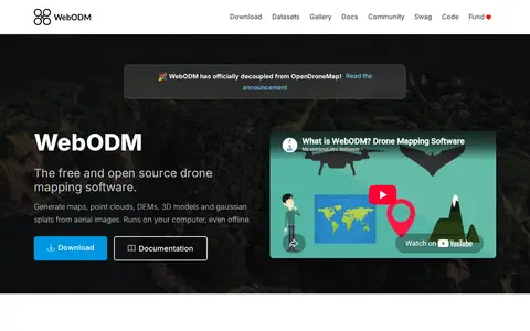
WebODM is free and open source drone mapping software that runs on a computer, including offline. It generates georeferenced orthomosaics, point clouds, digital elevation models, textured 3D models and gaussian splats from aerial images, with support for volume and area measurements and NDVI indexes.