




mrgris.com
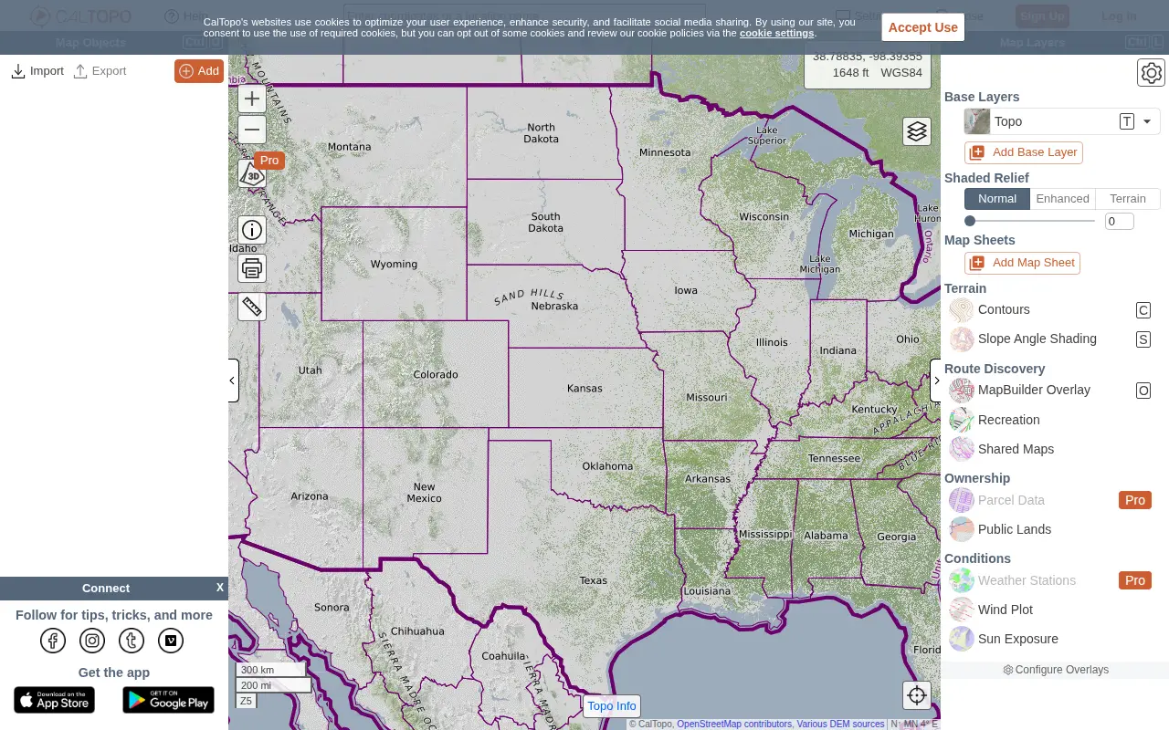
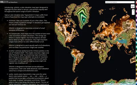
Oilslick is a color elevation map layer by Drew Roos designed to highlight fine terrain detail and work across the full range of Earth's elevation. It aims to maximize lightness contrast for small elevation differences and avoid favoring lower elevations, using a zig-zagging lightness pattern with each cycle covering 500m and hue completing one cycle over 9,275m of land elevation.