




thephysicsaviary.com
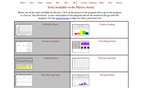
Physics Aviary provides a collection of interactive tools for physics education, including graphing aids, circuit visualizers and simulations. Programs can be opened by clicking a picture or title, and a search engine helps locate a particular tool.