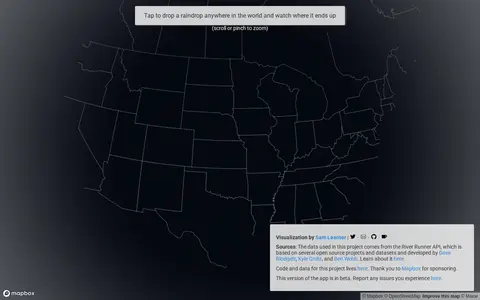

river-runner-global.samlearner.com
3D Map is a miscellaneous web resource for discovery, directories, archives, web culture, or useful tools.
Directory
Published directory entries matching your search.
3D Map is a miscellaneous web resource for discovery, directories, archives, web culture, or useful tools.

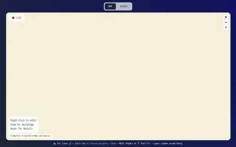
Live Tube Map shows London Underground trains moving in real-time on an interactive 3D map, covering all lines including Central, Northern and Victoria. The page lets users right-click to orbit, zoom for buildings and hover for details.

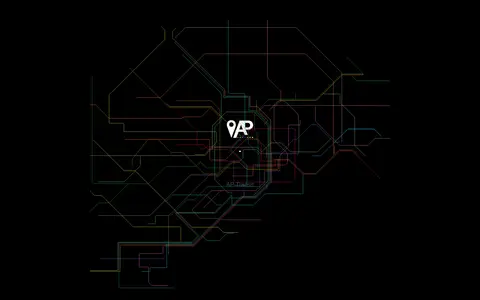
AP Transit presents a 3D live map of the NYC Subway, described as a real-time digital map that helps riders navigate the changing transportation network. The page covers reading the map, transfers, accessibility, entrances and station details, and states the system has 472 stations and about 665 miles of track.
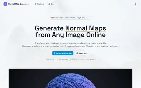
Normal Map Generator is a browser-based tool that converts 2D images, such as height maps or photos, into normal maps that simulate 3D surface detail. It offers real-time 3D preview, material presets, and exports in PNG, JPEG, or OpenEXR formats. All processing occurs locally in the browser.

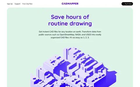
Cadmapper creates 3D CAD files of any area in the world from public data sources such as OpenStreetMap, NASA and USGS, producing organized, layered drawing files. Areas up to 1 km2 are free, files up to 100 km2 cost a small fee, and whole-city road network DXF files are free. It targets designers, architects and illustrators, with support for AutoCAD and SketchUp.

Cesium story viewer for exploring 3D geospatial scenes, maps, satellite data, and location narratives.

DrivingSimulator is a 3D driving simulator developed by FrameSynthesis Inc. that operates on Google Maps. It allows users to drive vehicles for activities including safe driving, off-road travel, parking, circuit racing, and global exploration. Steering is controlled via left and right arrow keys, while up and down arrow keys manage forward and reverse movement; mobile devices use a virtual control stick. The project’s development is suspended due to Google Maps API usage costs, the page may cease functioning at any time, and no feature requests will be addressed.

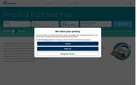
SeatMaps is a travel resource for finding and comparing airline seat maps. It offers seat maps for 740 airlines and 3299 aircraft, with seat comparisons, cabin layouts, legroom, cabin amenities, photos, passenger reviews and 360° cabin views. It covers more than 800 airlines worldwide. The site also provides fleet overviews of popular airlines and 3D cabin views of selected aircraft.

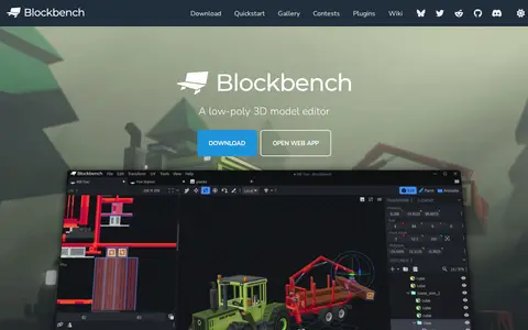
Blockbench is a low-poly 3D model editor with texturing tools, an animation editor with rigging and keyframes, a built-in plugin store, and automatic UV map and template creation. It is free to use for any project and open source under the GPL license.

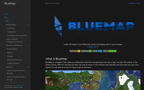
BlueMap is a Minecraft mapping tool that reads world files and generates 3D models of the world surface, displayed in a browser web viewer. It is available as a Spigot/Paper or Sponge plugin, a Fabric or Forge mod, or a standalone command-line tool. When installed as a plugin or mod, it renders asynchronously to the server thread.

The Cell Centered Database is an archived UC San Diego Library digital collection of high resolution 2D, 3D and 4D data from light and electron microscopy of tissues from the nervous system and other systems. It provides raw data, reconstructions and segmented data for download, plus 2D images, animations and image maps for online visualization.

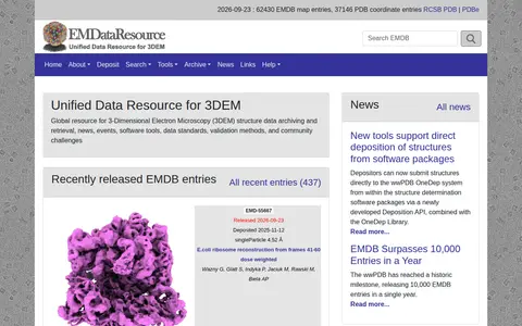
A global resource for 3D electron microscopy structure data, covering archiving and retrieval of structures along with news, events, software tools, data standards and validation methods. It reports recent EMDB map entries and PDB coordinate entries.

FireAlpaca is free digital painting software for Windows and Mac, available in 10 languages. It offers customizable brushes, weekly original brushes, five brush textures, and post-drawing line adjustment, along with tools such as frame work, animation, gradient map, and 3D perspective grid.

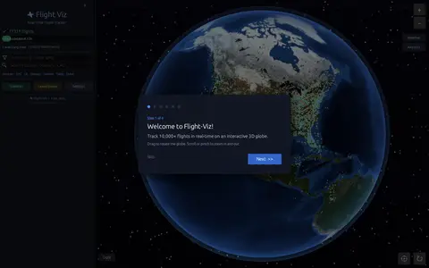
Flight Viz is a free real-time flight tracker that displays live flights on an interactive 3D globe. Users can search a flight number to find it on the map, check airport departure and arrival boards, view weather radar overlays, and see flight details such as aircraft type, route, speed, altitude and delay status. No login is required.

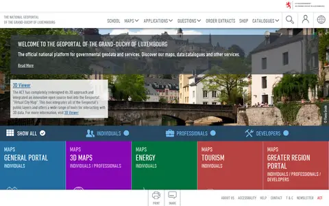
The national geoportal of the Grand-Duchy of Luxembourg is the official platform for governmental geodata and services. It provides maps, data catalogues, a 3D viewer and thematic portals, including energy, tourism, environment and the Greater region. Plugins let QGIS and ArcGIS Pro users search for a location, choose a basemap and add map layers or vector data.
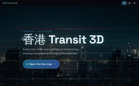
Hong Kong Transit 3D is an independent project presenting a real-time 3D schedule simulation of Hong Kong's trains, trams, buses, and ferries over real terrain. Vehicles move according to published frequencies and the Hong Kong clock, not GPS tracking. The map includes depth-true tunnels, a per-line underground cross-section view, and trilingual support.
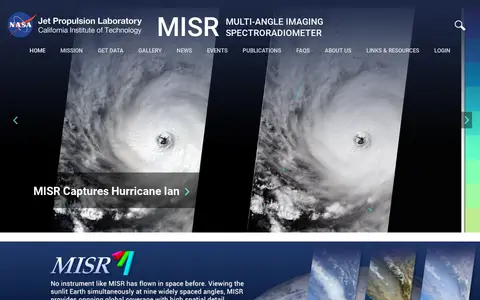
The Multi-angle Imaging SpectroRadiometer (MISR) is a NASA instrument onboard the Terra satellite, presented by the Jet Propulsion Laboratory. The site offers news, events, image quizzes and visualizations including 3D globe animations, world maps and stereo anaglyphs. It also references a tool for the MISR Plume Height Project.
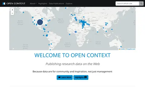
Open Context is a publishing service for archaeological and related research data, including images, maps, field notes and 3D models. It explains publishing of field documentation and data, faceted search and map-based visualization, and data download. It charges a one-time fee for publishing services, with project tiers such as a small project at $350.

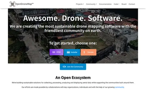
OpenDroneMap is drone mapping software that generates maps, point clouds, 3D models and DEMs from images taken by any camera in any orientation. Its ecosystem includes ODM, a command line toolkit for processing aerial images from drones, balloons or kites, plus NodeODM, CloudODM, PyODM, ClusterODM and other projects.
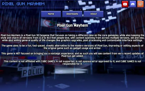
Pixel Gun Mayhem is a Pixel Gun 3D fangame built on version 12.0 as a base and targeting the style, charm and content of version 18.0. It ports or reverse engineers features such as UI, minigames, gamemodes, weapon gimmicks and maps, and adds new content, reworked balancing and a reworked progression system. The project states it is not affiliated with, supported by, sponsored or approved by CUBIC GAMES.

ShadeMap is an online tool that simulates sun shadows for any date and time at any place on Earth. It simulates shadows cast by buildings, trees and terrain in 3D and can generate shadow accumulation and shadow accrual maps. The service runs online without installing or buying Google Earth Pro.

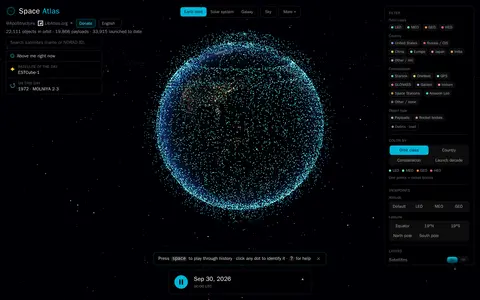
Space Atlas is a free, interactive 3D map of tracked satellites and rocket bodies orbiting Earth, described as covering objects from Sputnik in 1957 to today. It displays about 22,242 objects in orbit and offers real-time tracking, a timeline scrubber, and a view of satellites passing over the user's location. Orbits are approximated from the public CelesTrak catalog.

Super Mario and the Rainbow Stars is an SMBX2 fangame that aims to bring traits of the Paper Mario and Mario & Luigi series into a 2D platformer. It includes six chapters, partners, and unique worlds, and lists features such as multiplayer, cutscenes, a 3D world map, powerups, a 3 hp life system, partners, and badges. A demo (v1.1) is offered for download.
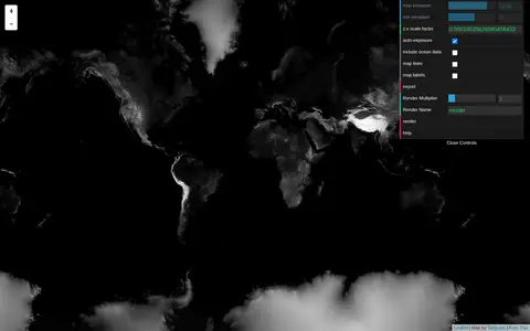
Tangram Heightmapper is an elevation data browser that auto-exposes the display so the highest and lowest visible elevations are white and black, producing a grayscale heightmap. The image can be exported and imported as a displacement map in 3D applications. Auto-expose can be unchecked to set minimum and maximum height levels manually.