



ncei.noaa.gov
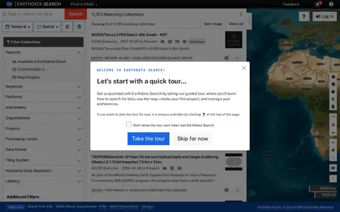
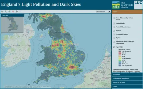
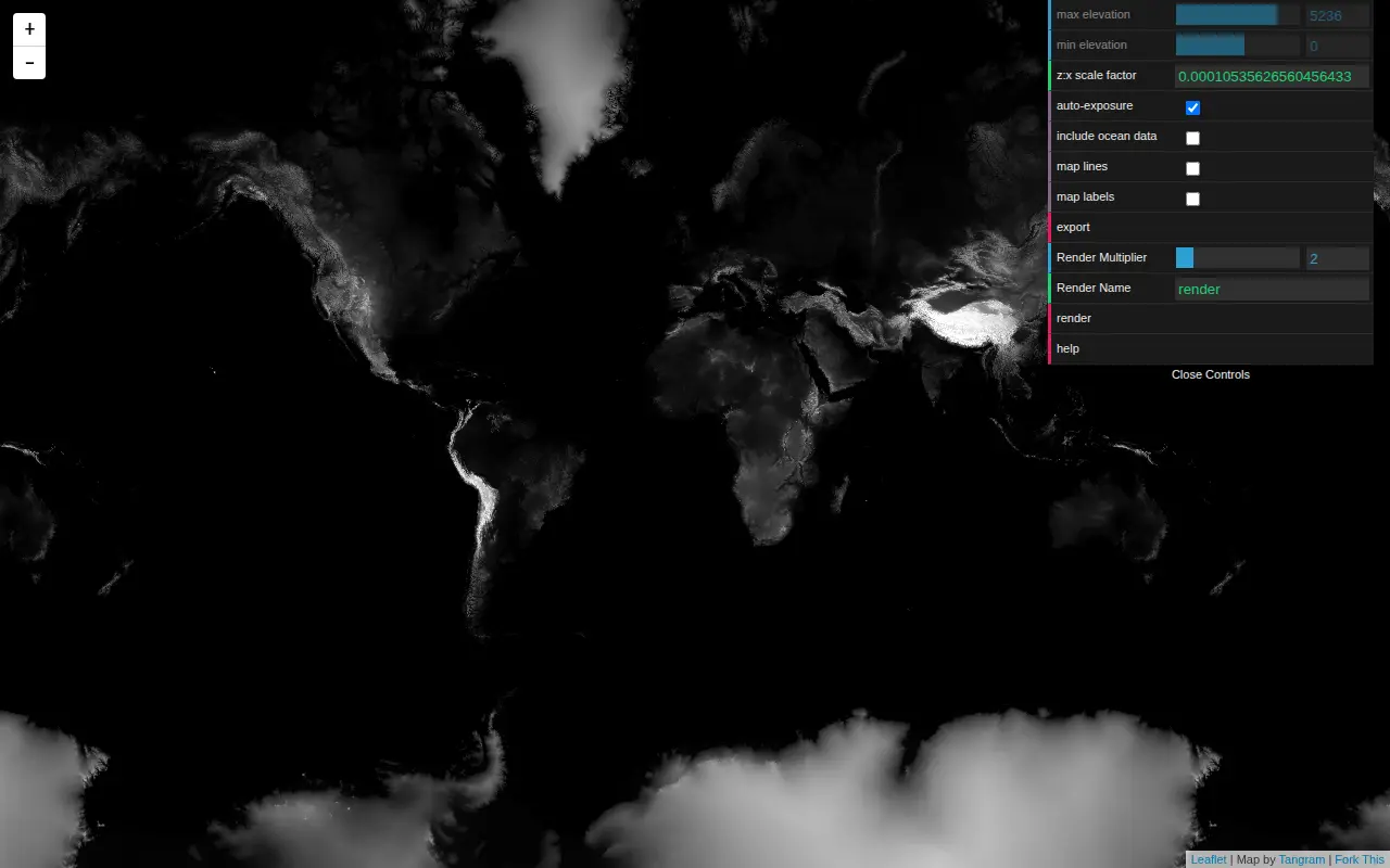
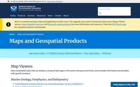
A National Centers for Environmental Information page presenting maps and geospatial products, including map viewers with data visualization tools and story maps combining maps, narrative text, images and multimedia. It also links to ArcGIS REST service directories for GIS servers with metadata and download formats for programmers and developers.