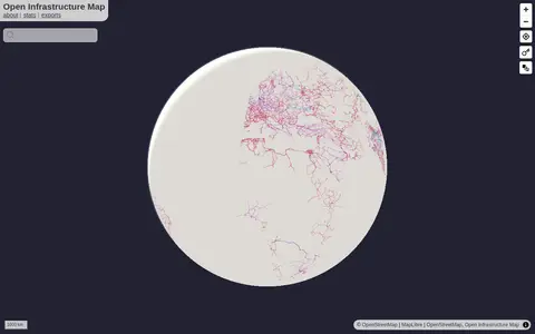

openinframap.org
Open Infrastructure Map is a miscellaneous web resource for discovery, directories, archives, web culture, or useful tools.
Directory
Published directory entries matching your search.
Open Infrastructure Map is a miscellaneous web resource for discovery, directories, archives, web culture, or useful tools.

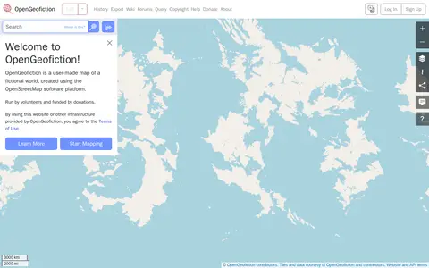
OpenGeofiction is a user-made map of a fictional world, created using the OpenStreetMap software platform. The site is run by volunteers and funded by donations, and use of the website or other provided infrastructure is subject to the Terms of Use. It offers a way to learn more and start mapping.
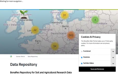
The BonaRes Repository is a free, open data infrastructure for publishing and accessing research data related to soil, agriculture, and ecology. It allows researchers to deposit datasets and receive a digital object identifier (DOI) for each published item. Additional services include a long-term field experiment map, a soil profile database, community engagement resources, and supporting materials for soil data research.

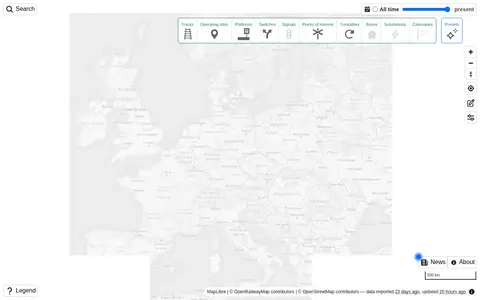
Explore railway infrastructure on a world map.
The State of Idaho GIS Hub is an ArcGIS Hub site for exploring authoritative data, maps, applications and tools developed by Idaho's State Agencies. It also helps users find and explore authoritative datasets that are part of the Idaho Spatial Data Infrastructure (Idaho SDI).

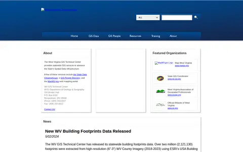
The West Virginia GIS Technical Center provides statewide GIS services to support the State's Spatial Data Infrastructure. Its services include the State Data Clearinghouse, a GIS People Directory and the MapWV.gov web mapping portal. The center publishes ArcGIS REST services for public use and offers individual datasets for download from the data clearinghouse. Files are archived and compressed into a single zip file for downloading.

ELIXIR Luxembourg is the Luxembourgish node of ELIXIR, the European life science information infrastructure. It describes services for long-term sustainability of tools and data for Translational Medicine, including secure data hosting, a biomedical data catalogue, disease and pathway maps on the MINERVA Platform, the FAIR Cookbook, RDMkit and a knowledge hub.

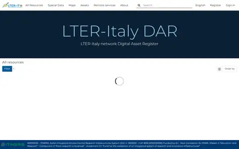
LTER-Italy Dataset Asset Registry is the digital asset register for the LTER-Italy long-term ecological research network. It hosts resources including spatial data, maps, and assets, and provides remote services. It is funded under the EU Next Generation EU PNRR as part of the Italian Integrated Environmental Research Infrastructures System, and is available in English and Italian.

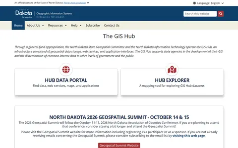
The GIS Hub is operated by the North Dakota State Geospatial Committee and North Dakota Information Technology. It is an infrastructure of geospatial data storage, web services, and application interfaces that supports state agencies' GIS development and shares common interest data with other government levels and the public. A data portal and Hub Explorer mapping tool provide access.

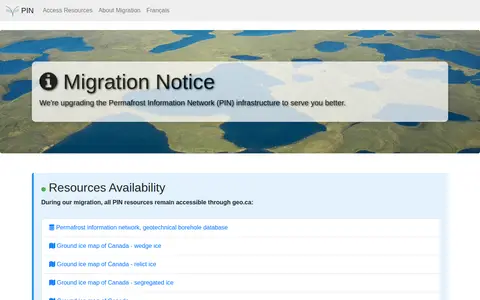
The Permafrost Information Network is an online resource covering permafrost topics. A migration notice states that the network's infrastructure is being upgraded and that its resources remain accessible through geo.ca during the migration. Listed resources include the permafrost information network, a geotechnical borehole database, and ground ice maps of Canada for wedge ice, relict ice, and segregated ice.

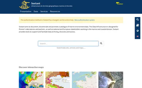
Sextant is a marine and coastal geographic data infrastructure run by Ifremer. It aims to document, disseminate and promote a catalogue of marine environment data, and provides tools to support data archiving, discovery and access. It is intended for Ifremer laboratories and partners as well as national and European stakeholders in the marine and coastal domain, and offers interactive maps of themes such as bathymetry and habitats.