



AP Transit presents a 3D live map of the NYC Subway, described as a real-time digital map that helps riders navigate the changing transportation network. The page covers reading the map, transfers, accessibility, entrances and station details, and states the system has 472 stations and about 665 miles of track.

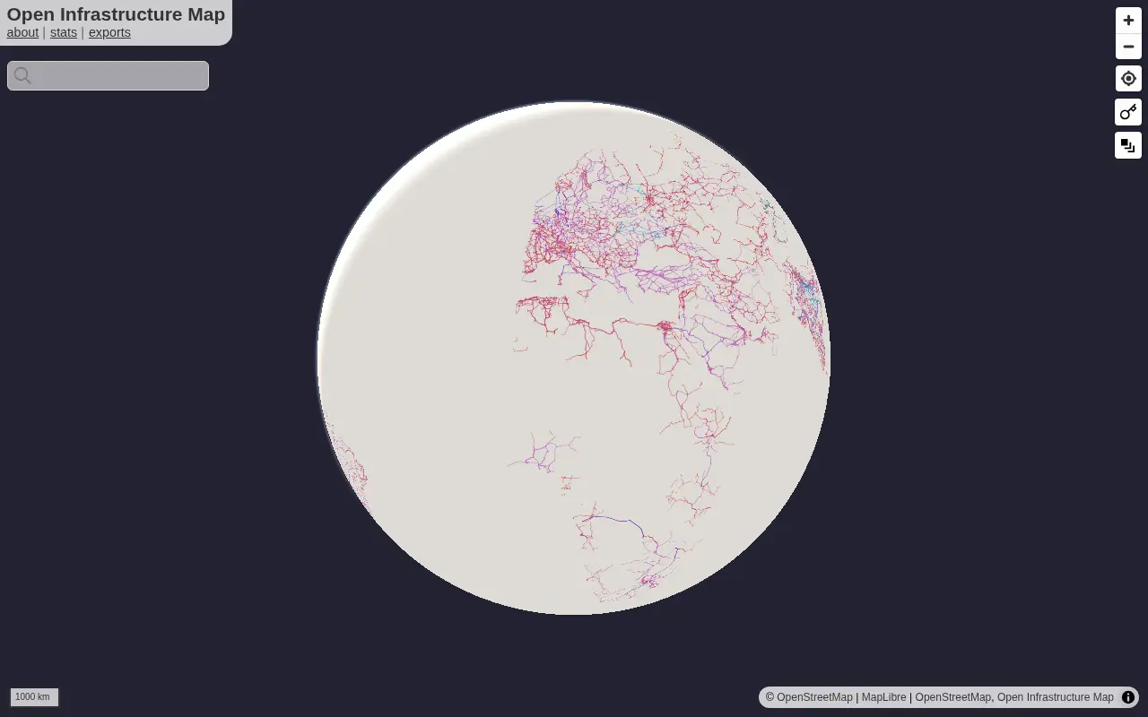
Open Infrastructure Map
Open Infrastructure Map is a miscellaneous web resource for discovery, directories, archives, web culture, or useful tools.
Links
Tags
-
0AP Transit presents a 3D live map of the NYC Subway, described as a real-time digital map that helps riders navigate the changing transportation network. The page covers reading the map, transfers, accessibility, entrances and station details, and states the system has 472 stations and about 665 miles of track.
-
0World Monitor is a free, open-source global intelligence dashboard that streams live data feeds onto a single world map with AI analysis. It covers conflict events, military flights, ship movements, market data, shipping chokepoints, internet outages and cyber signals, and provides a REST API with MCP equivalents.
-
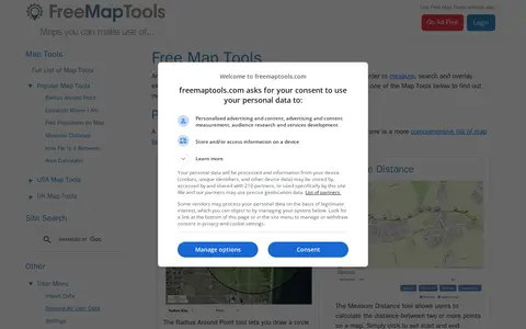
0FreeMapTools is a free online collection of map-based tools. Popular tools let visitors draw a radius around a point, measure distances between points, calculate the straight-line distance between two locations, and measure the area of a drawn shape. Results are shown in units including kilometers, miles, nautical miles, and acres.
-
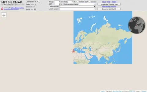
0MISSILEMAP is a digital mapping visualization by Alex Wellerstein that graphically displays the range and accuracy of many types of missiles. It includes a location lookup and a Single Shot Probability of Kill calculator, and is intended to help show the relationship between missile range, accuracy and warhead size.
-
0Abandoned Rails is a site featuring maps, pictures and the history of former railway grades across the United States and abandoned railroad routes in North America. Visitors can browse routes by state or by railroad company, and contributions from railfans are accepted by email.
-
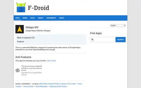
0An Android app that wraps the web version of Google Maps in a restricted WebView for access when OpenStreetMap isn't enough. It depends on the Google Maps website, a non-free network service. It requires Android 5.0 or newer and is licensed under the GNU Affero General Public License v3.0 or later.
Community notes
Reviews and discussion
No reviews yet
Be the first to share how this project worked for you.
Join the discussion
Sign in with a verified account to leave a review or join the discussion.
Sign in to review