




data.redbridge.gov.uk
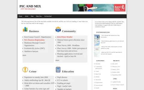
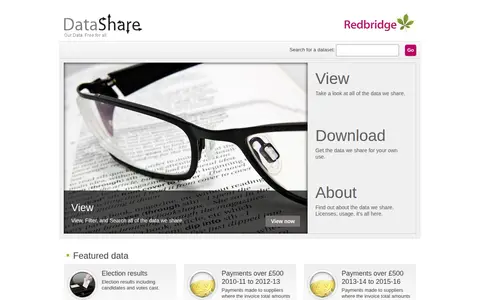
DataShare is an open data portal from the London Borough of Redbridge. It offers free access to data the council shares, allowing visitors to view, filter and search all datasets, and to download copies of the data in the format in which it was uploaded. Featured data includes election results and payments to suppliers over £500.