Directory

Search results

Published directory entries matching your search.

Search results

119 listings
Preview unavailable
deletedcity.net

An interactive web map that visualizes the 650 gigabyte Geocities backup made by the Archive Team on October 27, 2009. It arranges file-system neighborhoods and individual lots by file count, showing relative sizes when viewed in full and individual HTML pages when zoomed. Based on the 2012 installations The Deleted City 1.0 and 2.0.

Curated Directories 0
darkridedatabase.com

Dark Ride Database is a site collecting information about dark rides, with sections for rides, parks, companies, news and specials. It includes a world map, search, random rides and news items about attractions and manufacturers.
Travel Resources 0
Preview unavailable
finviz.com

A stock screener for investors and traders offering financial visualizations, with sections for stock and ETF screening, maps, charts, news, insider trading, futures, forex, crypto, watchlists and portfolios. An Elite tier is described as providing real-time data, technical charting, alerts and no ads.

Personal Finance 0
flight-viz.com

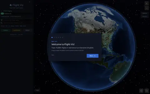
Flight Viz is a free real-time flight tracker that displays live flights on an interactive 3D globe. Users can search a flight number to find it on the map, check airport departure and arrival boards, view weather radar overlays, and see flight details such as aircraft type, route, speed, altitude and delay status. No login is required.

Travel Resources 0
freemaptools.com

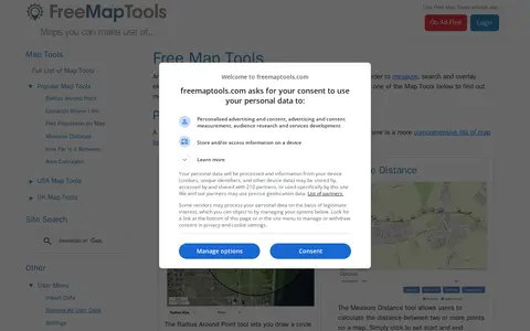
FreeMapTools is a free online collection of map-based tools. Popular tools let visitors draw a radius around a point, measure distances between points, calculate the straight-line distance between two locations, and measure the area of a drawn shape. Results are shown in units including kilometers, miles, nautical miles, and acres.

Maps & Navigation 0
frequency2156.com

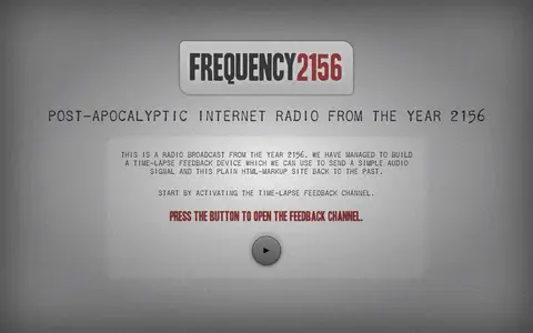
Frequency 2156 is a community-based internet radio project set in the year 2156. Visitors can listen to survival messages, record their own radio messages, and browse a map of locations to learn about survivors. Audio messages can be submitted through the site or uploaded in supported formats.

Fun & Interesting 0
google.com

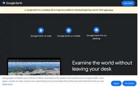
Google Earth is available on web, mobile and desktop. On mobile it allows users to browse the globe, add placemarks and annotate maps. On desktop, Google Earth Pro offers advanced tools including importing and exporting GIS data and viewing historical imagery, on PC, Mac or Linux.

Maps & Navigation 0
historicaerials.com

Historic Aerials is an online collection of historical aerial imagery, topographic maps, and modern aerials covering the United States. An interactive viewer lets users explore locations, zoom, and switch between decades, with imagery dating back to the 1920s. The service offers subscriptions and individual purchases of digital downloads and prints.

Maps & Navigation 0
hktransit3d.pages.dev

Hong Kong Transit 3D is an independent project presenting a real-time 3D schedule simulation of Hong Kong's trains, trams, buses, and ferries over real terrain. Vehicles move according to published frequencies and the Hong Kong clock, not GPS tracking. The map includes depth-true tunnels, a per-line underground cross-section view, and trilingual support.

Maps & Navigation 0
Preview unavailable
jewishvirtuallibrary.org

The Jewish Virtual Library is a resource from the American-Israeli Cooperative Enterprise containing articles, photographs and maps on Jewish history, Israel, Israel–United States relations, the Holocaust, antisemitism and Judaism, plus politics, biographies, travel guides and a section on Jewish women.

Educational & Academic Books 0
localpicks.org

Local Picks is a platform for finding local farms and producers of fresh food. It offers an interactive map and list view, saved favorites, reviews, reactions, likes, listing creation and edit suggestions, and friend connections. Accounts are free.

Food & Cooking 0
londonremembers.com

London Remembers is a site aiming to document all memorials in London, including plaques, statues, fountains and war memorials, with photos, inscriptions and the stories behind them. It lists memorial types and subjects and provides a map.

Maps & Navigation 0
loyalistmigrations-westernu.opendata.arcgis.com

Loyalist Migrations is the open data site for Huron University College's Loyalist Migrations Project, which maps the migrations of individuals who left the United States during and after the American Revolution.

Dataset & Data Search 0
majestic.com

Majestic is a backlink analysis toolset for SEO, established in 2004. It maps the web to provide Link Intelligence data, including metrics such as Trust Flow, Citation Flow and Topical Trust Flow. Its tools include Site Explorer, Summary, Backlink History and Clique Hunter, along with an API and browser plugins.

Security Scanners & Resolvers 0

An online community archive established in 2003 to celebrate Greater Manchester music and its social history. It provides browse and A-Z archive sections, online exhibitions, and a login and upload area. Projects include digitised Piccadilly Radio tapes, audio maps, and a research lab.

Academic & Research Search 0
mapcrunch.com

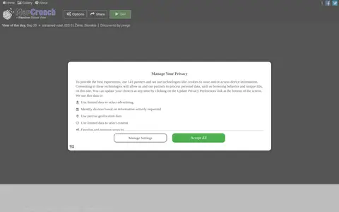
MapCrunch displays random Google Street View locations around the world, allowing users to explore imagery from 50 countries. Users can filter views by country or region using a list or map, and selected views are added to a daily gallery. Views can be shared with a name shown under the gallery image.

Maps & Navigation 0
mass.cultureelerfgoed.nl

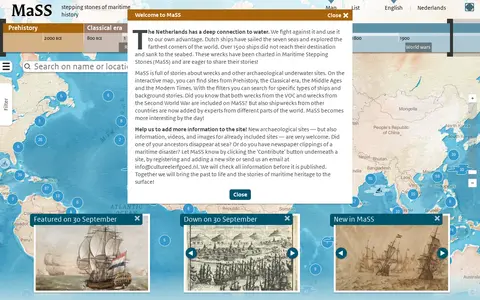
Maritime Stepping Stones (MaSS) is a worldwide source for stories about wrecks and archaeological sites underwater. An interactive map with filters covers periods from Prehistory to Modern Times, including VOC and Second World War wrecks. Visitors can contribute sites, information, videos and images, which are checked before publication.

Maps & Navigation 0
nuclearsecrecy.com

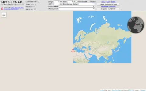
MISSILEMAP is a digital mapping visualization by Alex Wellerstein that graphically displays the range and accuracy of many types of missiles. It includes a location lookup and a Single Shot Probability of Kill calculator, and is intended to help show the relationship between missile range, accuracy and warhead size.

Maps & Navigation 0
mobac.sourceforge.io

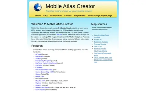
Mobile Atlas Creator (MOBAC) is an open source GPL program that creates offline atlases for GPS handhelds and cell phone applications from online map sources such as OpenStreetMap-based maps. It is written in Java and runs on Windows, Linux, and MacOS.

Maps & Navigation 0
nahbucks.com

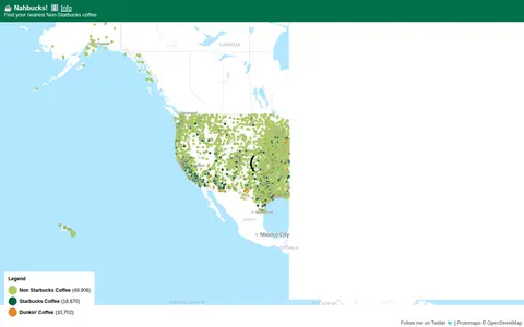
Nahbucks! shows the nearest non-Starbucks coffee shop. It states that coffee shop data was extracted from Google Maps by scraping businesses with categories such as coffee shops, coffee roasters, coffee wholesaler, coffee store and coffee stand. The page includes an affiliate link for Lifeboost Coffee.

Food & Cooking 0
native-land.ca

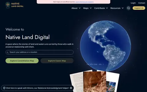
Native Land is a resource and app for learning about Indigenous territories, languages, lands, and ways of life, and for mapping Indigenous territories, treaties, and languages. It also states that its maps are not official sources. The site notes it provides geoJSONs and an API for free.

Maps & Navigation 0
neave.com

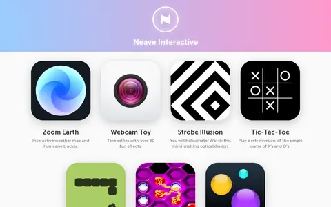
Neave Interactive offers a collection of browser-based apps. These include Zoom Earth, an interactive weather map and hurricane tracker, and Webcam Toy for taking selfies with over 80 effects. The site also lists small games and toys such as Strobe Illusion, Tic-Tac-Toe, Snake, Hexxagon and Bouncy Balls.

Fun & Interesting 0
njdigitalhighway.org

New Jersey Digital Highway is an online portal for New Jersey culture and history, drawing on collections from cultural heritage institutions. It provides searchable digital collections, exhibits on topics such as Chinese immigration and Seabrook Farms, digital maps, an environmental digital library, a peer-reviewed studies journal, and resources for students and teachers.

Academic & Research Search 0

A National Centers for Environmental Information page presenting maps and geospatial products, including map viewers with data visualization tools and story maps combining maps, narrative text, images and multimedia. It also links to ArcGIS REST service directories for GIS servers with metadata and download formats for programmers and developers.

Maps & Navigation 0