Directory

Search results

Published directory entries matching your search.

Search results

86 listings
lightpollutionmap.info

An interactive world map of light pollution that overlays data including NASA Black Marble VIIRS, sky brightness, aurora prediction, observatories and clouds, with SQM/SQC measurements contributed by users. It offers tools such as distance measurement, sky brightness simulation and a search for the closest dark site.

Maps & Navigation 0
mangolinkcam.com

Mangolinkcam presents a collection of live streaming animal webcams from around the world, covering wildlife, birds, zoos, aquariums, pets and reptiles. It includes sections for African wildlife and underwater webcams.

Fun & Interesting 0
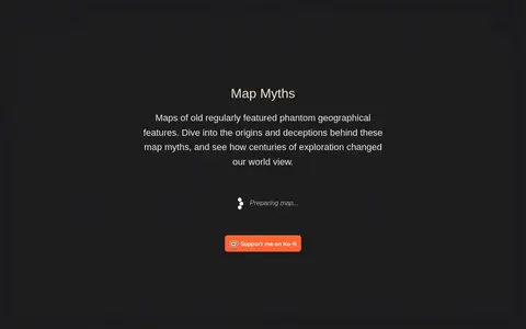
mapmyths.com

An interactive map that explores the tales behind cartographic myths, blunders and imaginations that shaped views of the world. The site offers projections including Arctic, Antarctic, Mercator, Pacific, Robinson and Mollweide.
Maps & Navigation 0
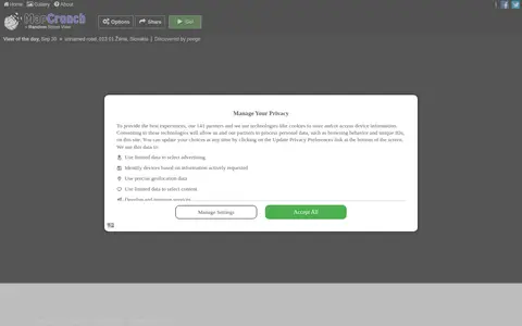
mapcrunch.com

MapCrunch displays random Google Street View locations around the world, allowing users to explore imagery from 50 countries. Users can filter views by country or region using a list or map, and selected views are added to a daily gallery. Views can be shared with a name shown under the gallery image.

Maps & Navigation 0
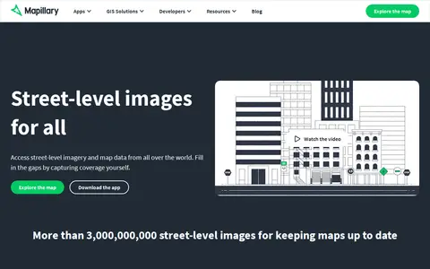
mapillary.com

Mapillary is a platform that hosts, processes, and publishes street-level imagery and map data. It combines collaborative image contributions with computer vision to scale and automate mapping, and offers access to street-level imagery and map data from around the world.

Maps & Navigation 0
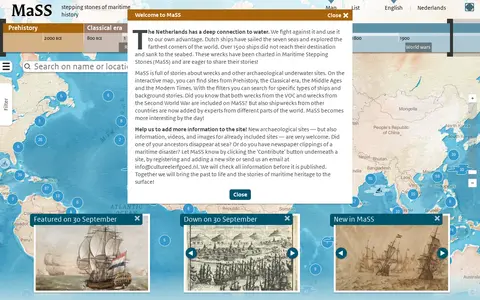
mass.cultureelerfgoed.nl

Maritime Stepping Stones (MaSS) is a worldwide source for stories about wrecks and archaeological sites underwater. An interactive map with filters covers periods from Prehistory to Modern Times, including VOC and Second World War wrecks. Visitors can contribute sites, information, videos and images, which are checked before publication.

Maps & Navigation 0
tjukanovt.github.io

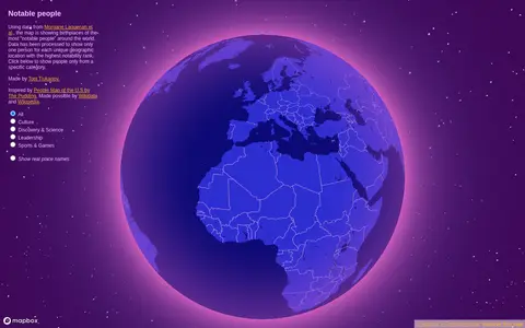
Notable People is a map showing birthplaces of the most notable people around the world, using data from Morgane Laouenan et al. The data has been processed to display only one person for each unique geographic location with the highest notability rank, with filters by category.

Maps & Navigation 0
notbadcoffee.com

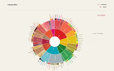
Not Bad Coffee offers an interactive Coffee Taster's Flavor Wheel based on the Coffee Taster's Flavor Wheel (2016) and the World Coffee Research Sensory Lexicon. Clicking the wheel shows a flavor card with attribute name, definition, references, intensity score and preparation instructions.

Food & Cooking 0
officeholidays.com

Office Holidays lists when countries around the world observe public holidays and bank holidays. Calendars are presented monthly, in a year planner format, or as upcoming lists, with national-level coverage and detailed information on some regional holidays. The stated intention is to help users avoid planning global meetings on days that may exclude colleagues.

Curated Directories 0
opengeofiction.net

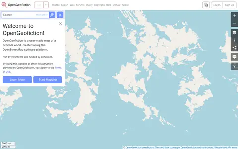
OpenGeofiction is a user-made map of a fictional world, created using the OpenStreetMap software platform. The site is run by volunteers and funded by donations, and use of the website or other provided infrastructure is subject to the Terms of Use. It offers a way to learn more and start mapping.

Fun & Interesting 0
openmaptiles.org

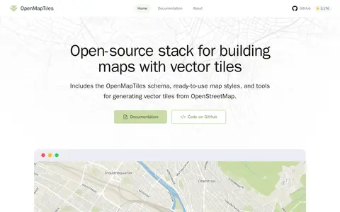
OpenMapTiles is an open-source stack for building world maps with OpenStreetMap vector tiles. It includes a vector tile schema, ready-to-use map styles, and tools for generating vector tiles. It works with MapLibre GL, Leaflet, OpenLayers, GIS, and WMTS. The project was created by MapTiler, which maintains the schema and tools.

Maps & Navigation 0
f-droid.org

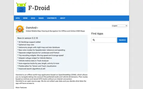
OsmAnd~ is an open source offline world map application based on OpenStreetMap, available from F-Droid. It offers map viewing, GPS navigation without an internet connection, route planning and GPX track recording. The listing notes anti-features including non-free assets and tracking via an installation ID sent with map download requests.

Maps & Navigation 0
identify.plantnet.org

Pl@ntNet is a tool to help identify plants with pictures, organized into regional and thematic floras. Its World flora contains more than 70,000 identifiable species. A newer service identifies plant diseases and pests, with more than 2,000 illustrated entries. Users can explore observations and share their own.

Gardening & Agriculture 0
project44.ca

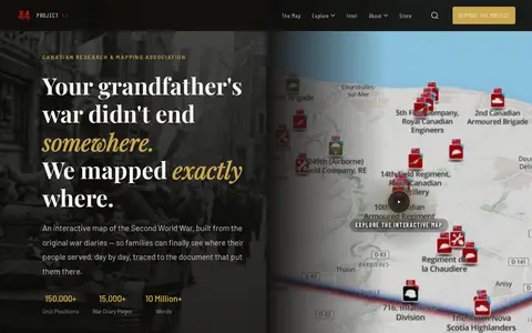
Project ’44 is a free interactive map of the Second World War built from original war diaries, with unit positions and diary pages traced to scanned primary documents. It also offers search of units by name, date or place and stories from the archive.

Maps & Navigation 0
quartermaester.info

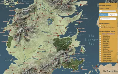
An interactive map of the world in A Song of Ice & Fire and A Game of Thrones. A slider lets visitors hide details beyond the chapters or episodes they have completed, and the paths of major characters can be animated. The map links to further details on the Westeros.org wiki and uses the Google Maps API.

Fun & Interesting 0
randomstreetview.com

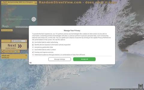
RandomStreetView.com displays random street view images from around the world. Visitors click a Next button to view further images, select a country, play a slideshow in fullscreen, or use it as a screensaver. It offers images from many countries, including Andorra, Australia, Brazil, Canada, France, Japan and the United States.

Maps & Navigation 0
rcdb.com

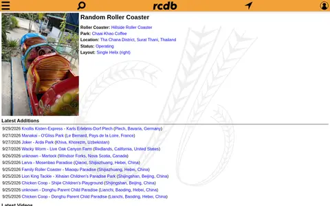
The Roller Coaster DataBase is an interactive database offering statistics on roller coasters, including the fastest, tallest and longest. The site also lists new additions, videos and reports, with sections such as record holders, world view and inversions.

Travel Resources 0
scholarbank.nus.edu.sg

ScholarBank@NUS is the institutional repository of the National University of Singapore. It provides open access to the academic outputs of NUS staff and students for researchers worldwide. The site organizes deposits into communities and lists recent submissions with publication details.

Dataset & Data Search 0
seatmaps.com

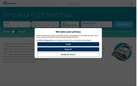
SeatMaps is a travel resource for finding and comparing airline seat maps. It offers seat maps for 740 airlines and 3299 aircraft, with seat comparisons, cabin layouts, legroom, cabin amenities, photos, passenger reviews and 360° cabin views. It covers more than 800 airlines worldwide. The site also provides fleet overviews of popular airlines and 3D cabin views of selected aircraft.

Travel Resources 0
Preview unavailable
skimap.org

Skimap.org is an archive of ski resort trail maps from around the world. It holds over 29,000 maps, with content dating back over 90 years, organized by region and including sections for recently added maps, maps from the current season, lost ski areas, and fantasy areas. Visitors are invited to share their own maps.

Maps & Navigation 0
slavesocieties.org

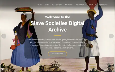
The Slave Societies Digital Archive preserves serial records on the history of Africans in the Atlantic World, including information about Indigenous, European and Asian populations. Its holdings contain more than 700,000 digital images from the sixteenth through twentieth centuries, and teams have produced transcriptions linked to the original images.

Academic & Research Search 0
timberfestival.org.uk

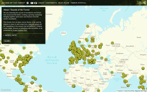
Sounds of the Forest is a project collecting the sounds of woodlands and forests from around the world into a growing soundmap. The collected sounds form an open source library that anyone can listen to and create from. The project was created by Wild Rumpus and is built on Mapbox GL JS.

Maps & Navigation 0
sudomemo.net

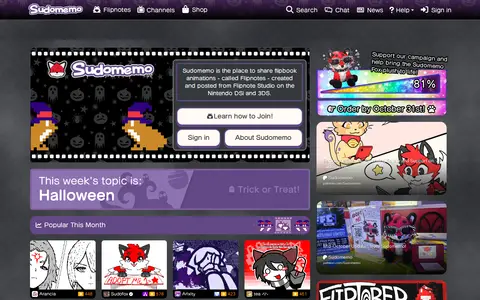
Sudomemo is an online platform for sharing flipbook animations called Flipnotes, created using Flipnote Studio on Nintendo DSi and 3DS systems. It preserves and grows the global Flipnote animation community, giving artists worldwide a space to share their work, learn, and keep the art form active. The platform hosts community events including Flipnote contests and local meetups.

Fun & Interesting 0
thelifeengine.net

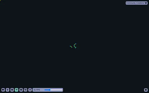
The Life Engine is a virtual ecosystem that allows organisms to reproduce, compete, and evolve. Each organism is made up of different colored cells, and hovering over each color explains its function. The project includes sections for Simulation Speed, Grid Size, Reset Options, Evolution Controls, Statistics, and Community Creations, which cover Worlds, Organisms, and Mods.

Fun & Interesting 0