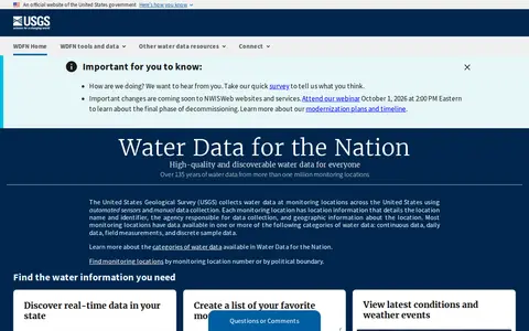
USGS Water Data for the Nation is an official United States government water data portal. It provides access to real-time and over 135 years of historical water data, tools to save favorite monitoring locations, create water alerts, and programmatic access to data via APIs. Users can explore water conditions, latest weather events, and related water resources information through the platform.
Directory
Search results
Published directory entries matching your search.
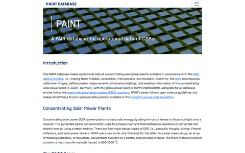
PAINT is a database making operational data of concentrating solar power plants available under FAIR data principles: findable, accessible, interoperable, and reusable. Its current data covers calibration images, deflectometry measurements, kinematics settings, and weather information from the solar tower plant in Jülich, Germany. Metadata follows the STAC standard, and software for data processing is publicly available in the project's source code repository.
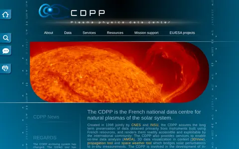
The CDPP is the French national data centre for natural plasmas of the solar system. Created in 1998 by CNES and INSU, it preserves data primarily from instruments built using French resources and makes them accessible to the international community. It also offers online services including data analysis, 3D visualisation, a propagation tool and a space weather tool.
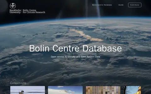
The Bolin Centre Database provides open access to climate and Earth system data. It offers interactive datasets and collections, including Oden and Tarfala data, historical weather and land-cover records, and datasets such as Baltic Sea macrofauna and Kebnekaise meteorological data.
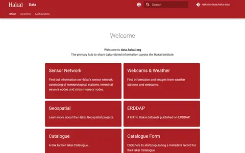
Hakai Data is the Hakai Institute's hub for sharing data-related information. It links to the institute's sensor network of meteorological stations, terrestrial sensor nodes and stream sensor nodes, plus webcams and weather stations, geospatial projects, oceanography projects and datasets published on ERDDAP. It also links to the Hakai Catalogue and a form for populating metadata records.
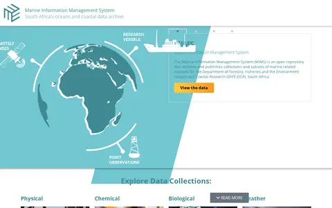
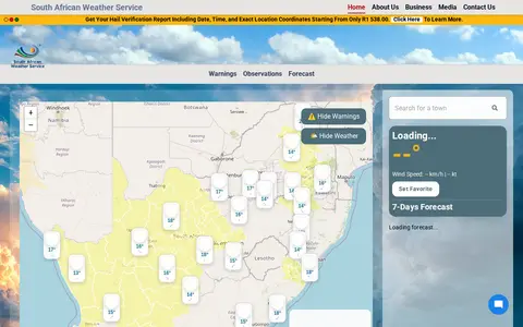
The Marine Information Management System (MIMS) is South Africa's open archive for marine and coastal data, operated for the country's Department of Forestry, Fisheries and the Environment: Oceans and Coastal Research. It archives and publishes marine-related datasets, with collections covering remotely sensed satellite ocean observations, ship-based hydrographic cruise data, and time series data from weather stations and oceanographic moorings.
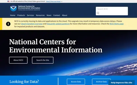
NCEI is a NOAA center that provides environmental data on historical weather, climate, ocean and magnetic field conditions. It maintains an archive of oceanic, atmospheric and geophysical data, archiving over 229 terabytes each month from over 130 observing platforms. NCEI is moving its data and applications to the cloud, which may cause temporary data access delays.
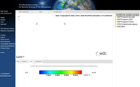
The World Data Center for Remote Sensing of the Atmosphere operates the WDC-RSAT Map Viewer tool. Its website links to related services including EOC GEOservice, NDMC, BioCliS, LISA, AlpAirEO, DLR internal services and Dynamics Dashboard, provides local weather data for Oberpfaffenhofen, and includes pages for contact, imprint, terms of use, accessibility statement and privacy policy.
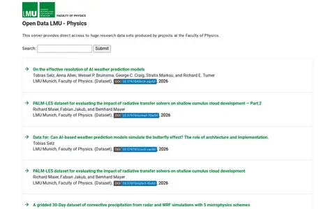
A server providing direct access to research data sets produced by projects at the Faculty of Physics at LMU Munich. Listed datasets cover topics such as AI weather prediction models, radiative transfer solvers, convective precipitation, and perovskite nanocrystals.
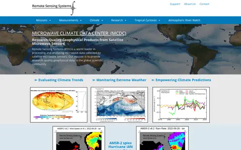
Remote Sensing Systems (RSS) processes and analyzes microwave data collected by satellite microwave sensors. It provides research-quality geophysical data to the global scientific community, supporting work to evaluate climate trends, monitor extreme weather, and empower climate predictions.
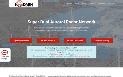
The Super Dual Auroral Radar Network is an international network of over 35 high frequency radars in the Northern and Southern Hemispheres, monitoring conditions in near-Earth space. SuperDARN Canada, headquartered at the University of Saskatchewan, operates five Canadian radars. The radars scan together to observe space weather in the magnetosphere and ionosphere. Data is offered for download in several formats, and the network follows an open data policy.
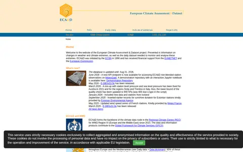
The European Climate Assessment & Dataset project presents information on changes in weather and climate extremes and the daily dataset used to monitor and analyse them. It receives data from 89 participants for 65 countries at 26325 meteorological stations, and 86% of daily series can be downloaded for non-commercial research and education. The E-OBS gridded dataset covers 1950-01-01 to 2025-12-31.
Southeast Asian Climate Assessment & Dataset presents information on changes in weather and climate extremes and the daily dataset used to monitor them. It receives data from 11 participants for 15 countries, and the SACA dataset holds 11,887 series of observations at 10,066 meteorological stations. Seventeen percent of the series is public and downloadable for non-commercial research.
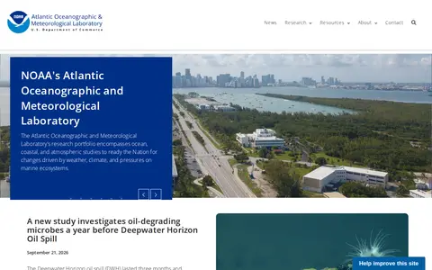
The Atlantic Oceanographic and Meteorological Laboratory (AOML) is a U.S. National Oceanic and Atmospheric Administration (NOAA) laboratory. Its research portfolio covers ocean, coastal, and atmospheric studies to prepare the nation for changes driven by weather, climate, and pressures on marine ecosystems. The lab is organized into divisions including Hurricane Research, Ocean Chemistry & Ecosystems, and Physical Oceanography, and its work supports improved hurricane forecasting and coastal ecosystem management.
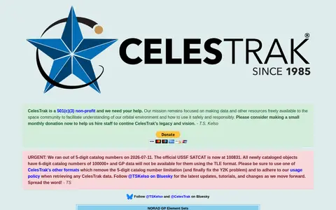
CelesTrak is a 501(c)(3) non-profit that provides orbital data and related resources to the space community. Its site offers NORAD GP element sets, a satellite catalog, conjunction reports, GPS data and space weather data. It notes that 5-digit catalog numbers ran out on 2026-07-11, so newly cataloged objects with 6-digit numbers lack GP data in TLE format.
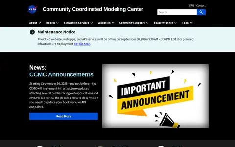
The Community Coordinated Modeling Center is a multi-agency partnership at NASA Goddard Space Flight Center that supports research and development for space science and space weather models. It provides free access to research models through an automated model run system, along with online visualization and analysis tools, model validation, forecasting support, and education resources.
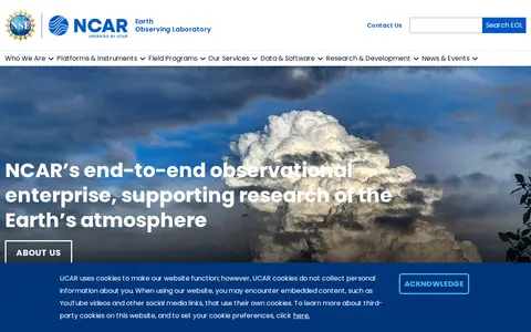
The Earth Observing Laboratory is part of the U.S. National Center for Atmospheric Research and manages NSF-sponsored facilities for atmospheric field research. It maintains and operates requestable Lower Atmosphere Observing Facilities, including research aircraft, airborne instrumentation and ground-based systems, together with the University of Wyoming. Ground-based assets include a polarimetric weather radar and sounding and surface flux systems.
Dataset repository covering atmospheric, with searchable datasets.
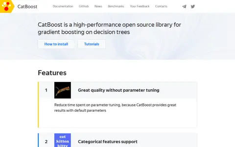
CatBoost is an open-source gradient boosting library on decision trees, developed by Yandex as the successor to its MatrixNet algorithm. It natively supports categorical features without preprocessing, offers a fast GPU implementation for large datasets, and reduces overfitting via a proprietary gradient boosting scheme. The library is used for tasks including search, recommendation systems, and weather prediction at Yandex.
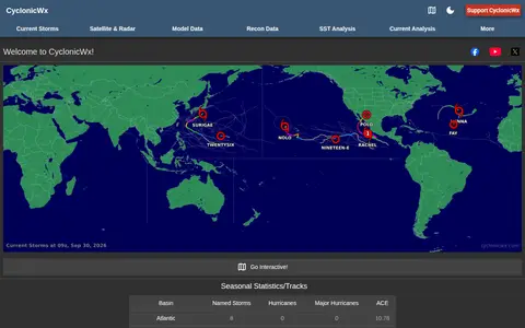
CyclonicWx offers plots and tropical weather tracking tools from Alex Boreham. The site presents seasonal statistics and tracks, accumulated cyclone energy, current storms, satellite and radar, model and recon data, sea surface temperature analysis and current analysis.
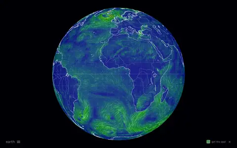
Interactive global map showing wind, weather, ocean, and atmospheric conditions using live model data.
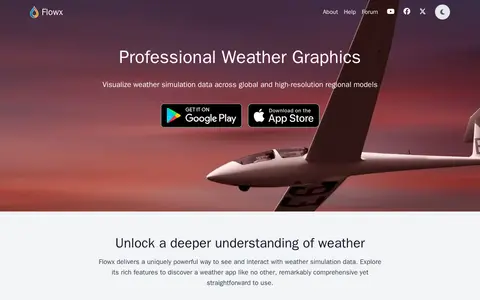
Flowx is a weather app with offline access to GFS, GDPS, ECMWF, ICON, HRRR, NAM and other regional models. It offers swipe animations, model comparison on maps and graphs, and specialized data including radar, air quality and marine forecasts. The app reports no ads and no tracking, and is available for iOS and Android.
SkyVector is a free online flight planner founded in 2006. It offers aeronautical charts including Sectional Charts, Approach Plates, IFR Enroute Charts and Helicopter route charts, with weather data and fuel prices. Users can add their own fuel prices by sending CSV price lists to a personal email address after signing in.
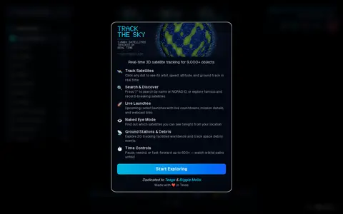
Track The Sky is a real-time 3D satellite tracker that follows over 9,000 satellites on an interactive 3D globe using live orbital data. It covers categories including space stations, Starlink, GPS and weather satellites. Features include clickable orbit paths, ground tracks, altitude and velocity, and overhead pass predictions.