remax.ca
RE/MAX Canada search page for finding homes, agents, and real estate listings.
Directory
Maps and Transportation collects tools for finding your way and tracking things that move. Maps and navigation holds map services, routing engines, and public transit planners. Vehicles and VIN covers vehicle history lookups and identification tools. Maritime tracking lists ship trackers and port data, and geolocation tools collects services that work from coordinates, IP addresses, or phone signals. Radio and communications covers aviation, marine, and amateur radio references that depend on location, and real estate and property adds land and building lookup tools. Flight tracking, weather, and live maps and webcams are smaller topics in the same category. Several entries use public or crowd-sourced data, which means coverage is uneven between countries and can be out of date, so check a source before you rely on it for a journey or a decision.
RE/MAX Canada search page for finding homes, agents, and real estate listings.
European geoportal for finding INSPIRE spatial datasets, map services, and geographic metadata.

Vehicle plate search site for finding Russian license plate photos and related car sightings.

Shipping Database is a research project incorporating World Warships, run by Matterson Marine & Maritime Risk Management. It reproduces vessel data from shipyards, shipping companies, classification societies and a research library, covering barges and inland waterways vessels as well as other ships, with a terminology page explaining terms.
QRZ callsign database for searching amateur radio operators, call signs, and station details.
US incident information system for wildfires, emergency incidents, maps, and official updates.
Maersk tracking page for checking container, booking, and shipment movement details.
Searchable database of home sales and property transactions in Onondaga County.

Vehicle lookup site for checking license plates, car data, and public vehicle-related records.

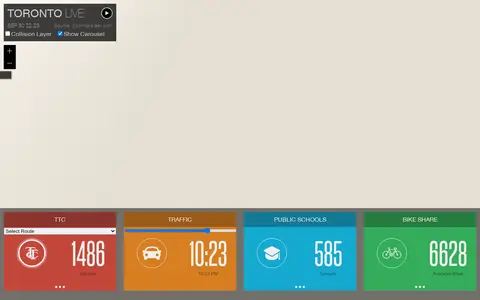
Esri map showing Toronto live layers, city activity, services, and local geographic data.

Social account sharing live radio, scanner, or incident-related updates and public monitoring links.

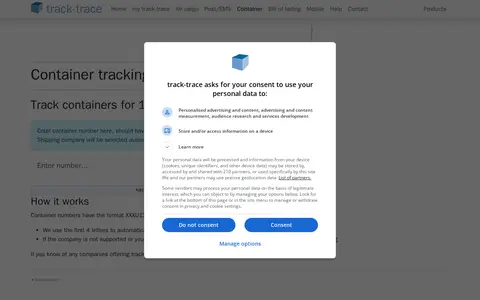
Track-trace's container tracking page lets users track containers for 169 companies. It uses the first four letters of container numbers to automatically send requests to the correct company, with manual selection possible after tracking.

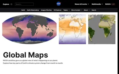
Earth Observatory is a miscellaneous web resource for discovery, directories, archives, web culture, or useful tools.

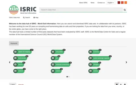
ISRIC data hub for finding global soil maps, soil profiles, and land resource datasets.

Vehicle auction and history lookup site for checking cars, VINs, photos, and sale records.

Zillow Canada page for browsing Canadian homes, listings, and real estate market information.
Sonix service for transcribing radio broadcasts, interviews, podcasts, and spoken audio.

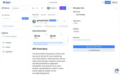
API for accessing geolocated protest and unrest data for maps, analysis, and research workflows.

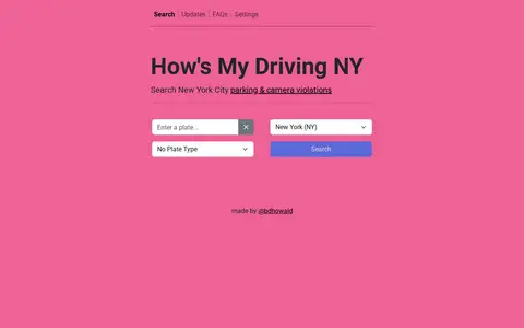
New York vehicle lookup tool for checking parking, camera, and traffic violation records.
Interactive map for understanding maritime security, trade routes, and regional ocean activity.

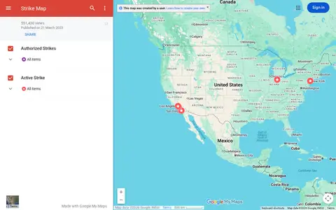
Google map tracking labor strikes, workplace actions, and related events across the United States.
Johns Hopkins COVID-19 map visualizes cases, deaths, trends, and outbreak data by location.

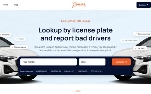
FindByPlate.com is a free resource for license plate lookup and reporting bad drivers. In most cases the website will identify the car and its basic information, along with any user-submitted reports, images, videos, or comments. The license plate search engine is in beta development, and the site does not guarantee the validity or accuracy of the information shown.

Radio propagation and station search tool for checking amateur radio spots and signal paths.