
sitdeck.com
SitDeck is a miscellaneous web resource for discovery, directories, archives, web culture, or useful tools.
Directory
Maps, directions and place data from many different sources sit together here. Listings include general map services, satellite and aerial imagery, street-level views, route planners and place search. Others cover specialist data such as fire hotspots, shipping traffic, weather or public transport. Compare the coverage for the area you care about, how often the data updates and whether the terms let you reuse it. Coverage and accuracy differ by region, and some datasets change rarely, so check the date before you rely on what you find.
SitDeck is a miscellaneous web resource for discovery, directories, archives, web culture, or useful tools.

Skimap.org is an archive of ski resort trail maps from around the world. It holds over 29,000 maps, with content dating back over 90 years, organized by region and including sections for recently added maps, maps from the current season, lost ski areas, and fantasy areas. Visitors are invited to share their own maps.

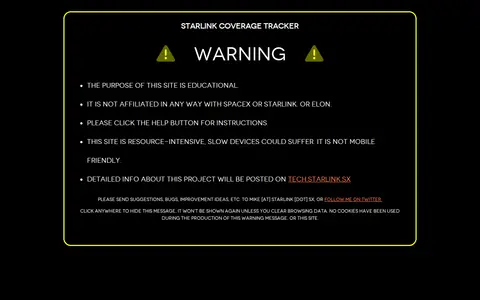
Starlink Coverage is a miscellaneous web resource for discovery, directories, archives, web culture, or useful tools.
StreetComplete is an OpenStreetMap surveyor app. It finds missing map data in the user's vicinity and displays it on a map as quests, which are solved by visiting the location and answering a simple question. The info entered is added directly to OpenStreetMap in the user's name without using another editor.

Tech Version helps discover apps, SaaS products, no-signup tools, clones, or software alternatives.

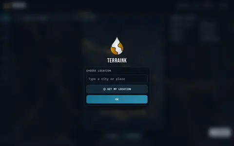
Terraink helps discover apps, SaaS products, no-signup tools, clones, or software alternatives.

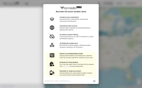
tornado.live is a miscellaneous web resource for discovery, directories, archives, web culture, or useful tools.

trains.fyi is a miscellaneous web resource for discovery, directories, archives, web culture, or useful tools.

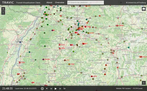
TRAVIC (Transit Visualization Client) provides movement visualization of transit data published by transit agencies and operators worldwide. Movements are mostly based on static schedule data, with real-time data included where available. The page notes the servers are undergoing maintenance and asks visitors to return later.

UrbanRail.Net is a site about metro, subway, and light rail systems. It lists cities including Amsterdam, London, Moscow, Tokyo, and Sydney, and offers publications such as a tram atlas. The site is maintained and updated by Robert Schwandl.

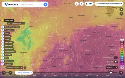
Ventusky provides live weather maps showing wind, rain, radar and temperature, with over 50 weather layers and detailed forecasts. Data comes from weather forecast models including ECMWF, GFS, ICON and GEM.

AIS vessel tracking service for monitoring ships, ports, routes, and maritime movement.

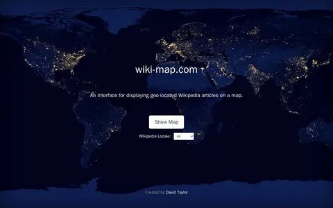
Wiki-Map is a miscellaneous web resource for discovery, directories, archives, web culture, or useful tools.

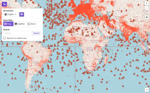
Wikimap is a miscellaneous web resource for discovery, directories, archives, web culture, or useful tools.
WikiMapped helps discover apps, SaaS products, no-signup tools, clones, or software alternatives.

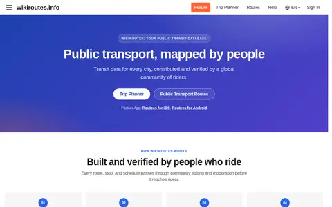
Wikiroutes is a crowdsourced public transport directory with an interactive map, schedules and route search for buses, trolleybuses and trams. Routes, stops and schedules pass through community editing and moderation before publication, and accepted changes appear on the site immediately.

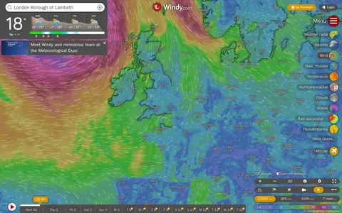
Windy is a miscellaneous web resource for discovery, directories, archives, web culture, or useful tools.

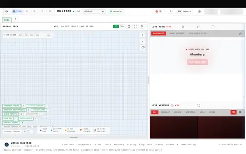
World-Monitor is a miscellaneous web resource for discovery, directories, archives, web culture, or useful tools.

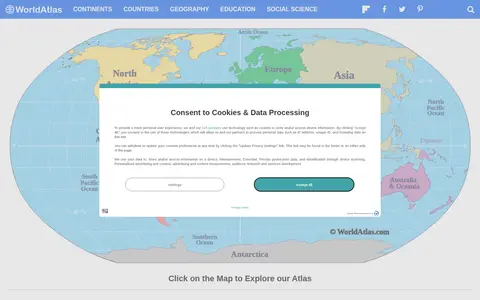
WorldAtlas is a miscellaneous web resource for discovery, directories, archives, web culture, or useful tools.
WXCharts is a miscellaneous web resource for discovery, directories, archives, web culture, or useful tools.

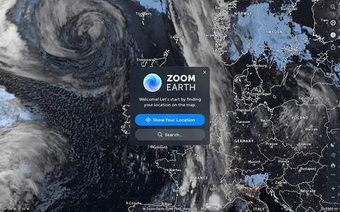
Zoom Earth is an interactive weather map of the world showing rain, wind, temperature and pressure, with forecasts for a selected location. It also offers satellite imagery, rain radar updated in near real time, hurricane and storm tracking, and wildfire and smoke monitoring. Mobile apps are available for iPhone, iPad and Android.

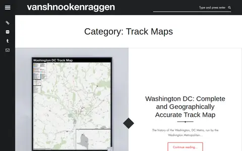
Vanshnookenraggen Track Maps is a curated directory or link collection for discovering useful websites, tools, and resources.

ArcGIS wildfire map visualizes fire activity, boundaries, incidents, and related geographic layers.

Cesium story viewer for exploring 3D geospatial scenes, maps, satellite data, and location narratives.