x.com
Tfproject Athena is a miscellaneous web resource for discovery, directories, archives, web culture, or useful tools.
Directory
Maps, directions and place data from many different sources sit together here. Listings include general map services, satellite and aerial imagery, street-level views, route planners and place search. Others cover specialist data such as fire hotspots, shipping traffic, weather or public transport. Compare the coverage for the area you care about, how often the data updates and whether the terms let you reuse it. Coverage and accuracy differ by region, and some datasets change rarely, so check the date before you rely on what you find.
Tfproject Athena is a miscellaneous web resource for discovery, directories, archives, web culture, or useful tools.

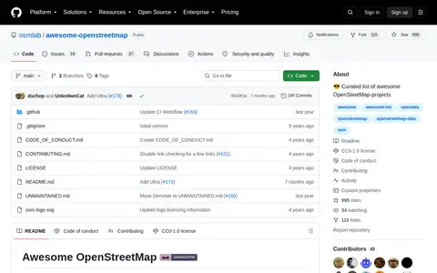
Awesome Openstreetmap is a code repository or project page with source code, releases, documentation, or setup notes.

Editor is a miscellaneous web resource for discovery, directories, archives, web culture, or useful tools.

r/papertowns points to a Reddit community or thread with discussion, guides, updates, or shared resources.

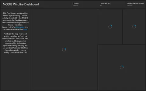
ArcGIS dashboard showing MODIS satellite wildfire detections, hotspots, and fire activity.
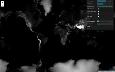
Tangram Heightmapper is an elevation data browser that auto-exposes the display so the highest and lowest visible elevations are white and black, producing a grayscale heightmap. The image can be exported and imported as a displacement map in 3D applications. Auto-expose can be unchecked to set minimum and maximum height levels manually.

Features is a miscellaneous web resource for discovery, directories, archives, web culture, or useful tools.

ArcGIS dashboard mapping power plants across the United States with energy and location data.

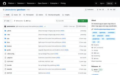
Geo Share is a miscellaneous web resource for discovery, directories, archives, web culture, or useful tools.

ArcGIS dashboard showing Walmart store status, closures, and location-based operational updates.

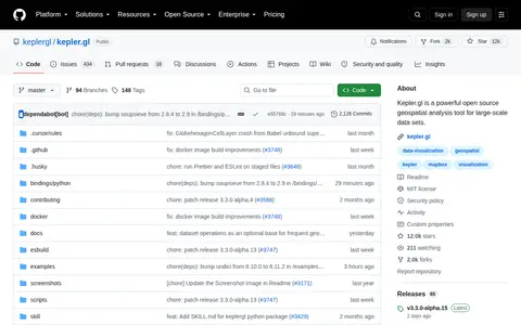
Kepler.gl is a miscellaneous web resource for discovery, directories, archives, web culture, or useful tools.
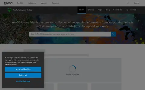
ArcGIS Living Atlas is a miscellaneous web resource for discovery, directories, archives, web culture, or useful tools.

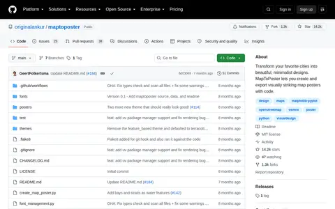
Map to Poster is a miscellaneous web resource for discovery, directories, archives, web culture, or useful tools.

ArcGIS map showing UK onshore oil and gas activity, sites, and related geographic layers.

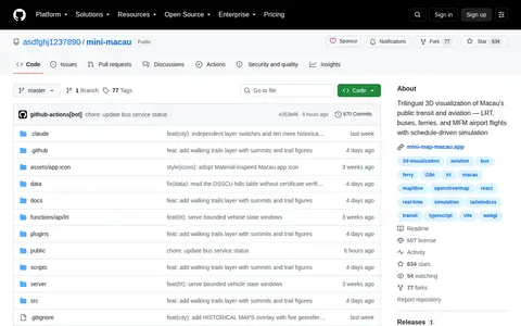
Mini Macau is a miscellaneous web resource for discovery, directories, archives, web culture, or useful tools.

Harvard WorldMap is a curated directory or link collection for discovering useful websites, tools, and resources.

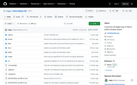
Mini Tokyo 3d is a miscellaneous web resource for discovery, directories, archives, web culture, or useful tools.

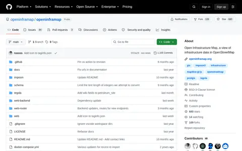
Openinframap is a miscellaneous web resource for discovery, directories, archives, web culture, or useful tools.

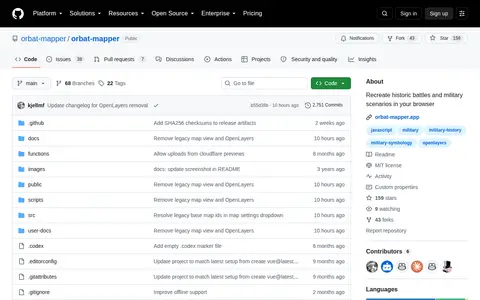
Orbat Mapper helps discover apps, SaaS products, no-signup tools, clones, or software alternatives.

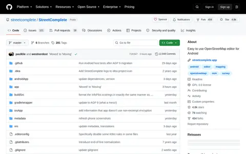
Streetcomplete is a miscellaneous web resource for discovery, directories, archives, web culture, or useful tools.

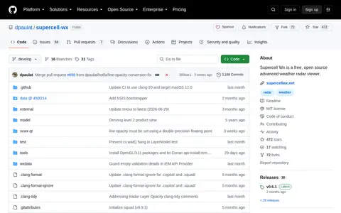
Supercell Wx is a miscellaneous web resource for discovery, directories, archives, web culture, or useful tools.

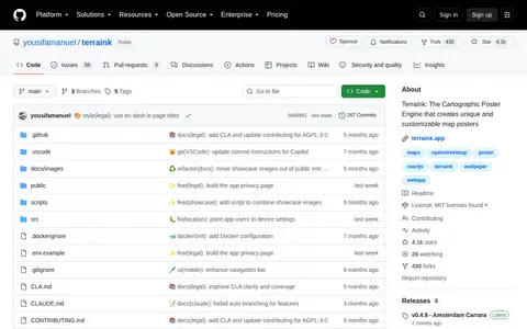
Terraink is a miscellaneous web resource for discovery, directories, archives, web culture, or useful tools.

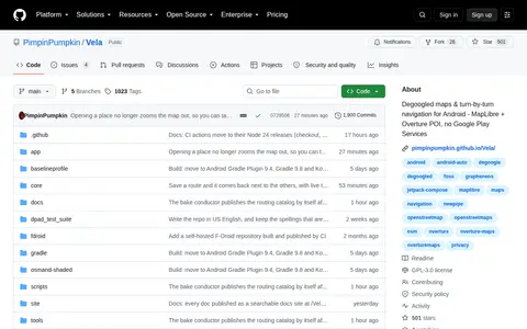
Vela is a miscellaneous web resource for discovery, directories, archives, web culture, or useful tools.

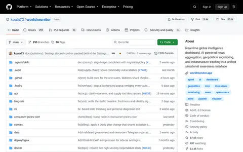
Worldmonitor is a miscellaneous web resource for discovery, directories, archives, web culture, or useful tools.