
CoverageMap compares cellular coverage from carriers using crowdsourced speed tests and signal measurements. Users can view coverage maps, test connections, and compare carriers. The service is available in four countries.
Directory
Maps & Navigation
Maps, directions and place data from many different sources sit together here. Listings include general map services, satellite and aerial imagery, street-level views, route planners and place search. Others cover specialist data such as fire hotspots, shipping traffic, weather or public transport. Compare the coverage for the area you care about, how often the data updates and whether the terms let you reuse it. Coverage and accuracy differ by region, and some datasets change rarely, so check the date before you rely on what you find.
Cronobook is a miscellaneous web resource for discovery, directories, archives, web culture, or useful tools.
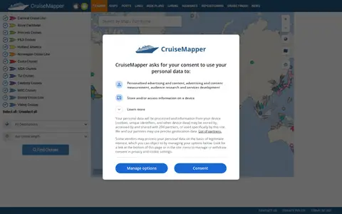
CruiseMapper offers free cruise tracking, showing current ship positions, along with itinerary schedules, deck plans, cabin information, and reports on cruise accidents and incidents. It also publishes cruise news and covers a wide range of cruise lines and river cruises.
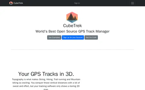
CubeTrek is an open source GPS track manager that displays tracks in 3D, letting users view all their activities in one place. It offers a replay mode, performance measurement and comparison, a personal calendar heatmap, and activity matching. Tracks can be imported from FIT and GPX files and synced with Garmin Connect, Polar Flow and Coros.
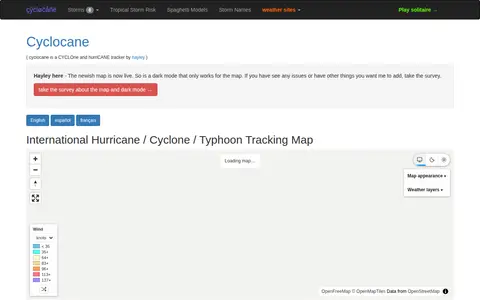
Cyclocane is a cyclone and hurricane tracker that shows an international hurricane, cyclone and typhoon tracking map. The site lists active tropical storms, tropical disturbances, tropical storm risk areas and cyclone, typhoon and hurricane season dates. It also links to storm names, spaghetti models and tropical storm risk pages.
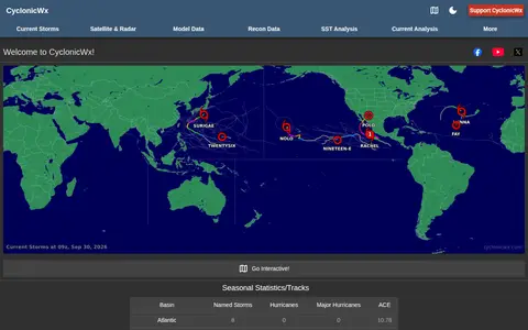
CyclonicWx offers plots and tropical weather tracking tools from Alex Boreham. The site presents seasonal statistics and tracks, accumulated cyclone energy, current storms, satellite and radar, model and recon data, sea surface temperature analysis and current analysis.
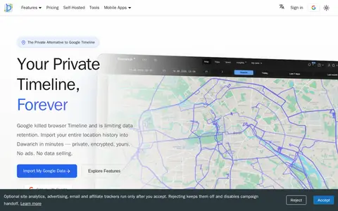
Dawarich is a self-hostable web application for storing and visualizing personal location history as a private alternative to Google Timeline. It imports Google Takeout data and works with apps such as OwnTracks and GPSLogger. The official iOS and Android apps record location on the device offline and upload points once back online. An API provides endpoints for location data, tracks, visits and statistics.
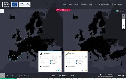
EuroBirdPortal is a miscellaneous web resource for discovery, directories, archives, web culture, or useful tools.
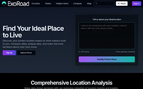
ExoRoad is a miscellaneous web resource for discovery, directories, archives, web culture, or useful tools.
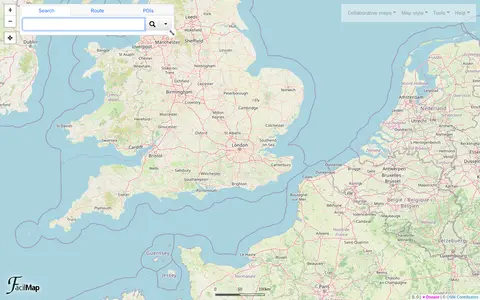
FacilMap is a miscellaneous web resource for discovery, directories, archives, web culture, or useful tools.
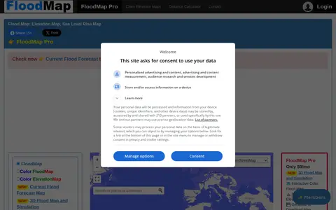
FloodMap is a miscellaneous web resource for discovery, directories, archives, web culture, or useful tools.
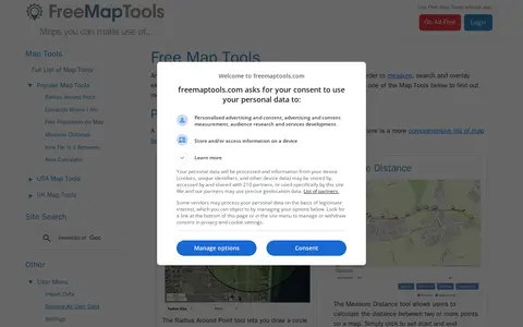
FreeMapTools is a free online collection of map-based tools. Popular tools let visitors draw a radius around a point, measure distances between points, calculate the straight-line distance between two locations, and measure the area of a drawn shape. Results are shown in units including kilometers, miles, nautical miles, and acres.
GPlates is a miscellaneous web resource for discovery, directories, archives, web culture, or useful tools.
HMDB is a miscellaneous web resource for discovery, directories, archives, web culture, or useful tools.
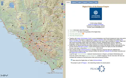
Imperium is a miscellaneous web resource for discovery, directories, archives, web culture, or useful tools.
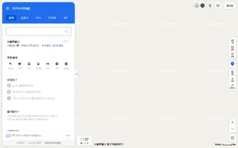
kakaomap is a miscellaneous web resource for discovery, directories, archives, web culture, or useful tools.
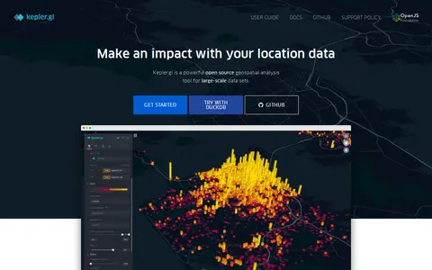
kepler.gl is a miscellaneous web resource for discovery, directories, archives, web culture, or useful tools.
LGA World Database is a miscellaneous web resource for discovery, directories, archives, web culture, or useful tools.
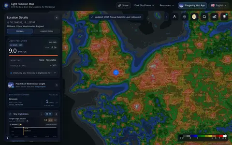
lightpollutionmap helps discover apps, SaaS products, no-signup tools, clones, or software alternatives.
London Live is a miscellaneous web resource for discovery, directories, archives, web culture, or useful tools.
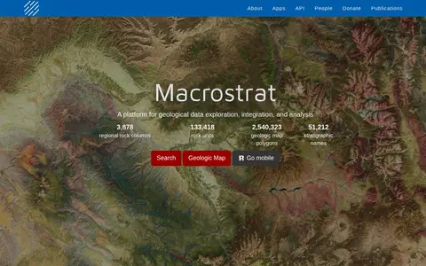
Macrostrat is a platform for exploring, integrating and analysing geological data. It aggregates geologic maps from data providers and links map polygons to rock columns, stratigraphic names and geochronological intervals. The site offers a searchable geologic map and an API. Interactive applications built on the platform are intended for educational and research purposes.
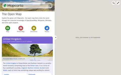
Mapcarta is a miscellaneous web resource for discovery, directories, archives, web culture, or useful tools.
MapChart is a miscellaneous web resource for discovery, directories, archives, web culture, or useful tools.
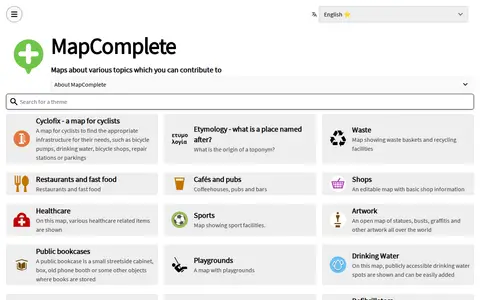
MapComplete is a miscellaneous web resource for discovery, directories, archives, web culture, or useful tools.