
en-gb.topographic-map.com
topographic-map is a miscellaneous web resource for discovery, directories, archives, web culture, or useful tools.
Directory
Published directory entries matching your search.
topographic-map is a miscellaneous web resource for discovery, directories, archives, web culture, or useful tools.

The Perry-Castañeda Library Map Collection is a holdings collection hosted as part of the University of Texas Libraries GeoData platform. The collection includes thousands of maps, including military topographic maps of regions across Europe, Asia and other areas. Individual map entries include details such as scale, map type and descriptive notes about map series, including information about how relief is represented on the maps.

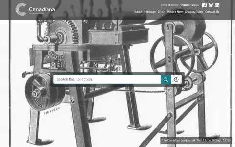
Canadiana.ca is a digital collection of Canadian documentary heritage. Its Monographs collection spans three and a half centuries of Canadian documentary history. The Serials collection includes dailies, weeklies, specialized journals and mass-market magazines, as well as city directories and annual reports from churches, schools and corporations. Government Publications holds over 1.7 million pages of historical pre-1920 colonial, provincial and federal government documents. The Maps collection contains nearly 22,000 Canadian maps digitized from the 1:50,000 scale National Topographic Series, dating from 1905 to 2012.

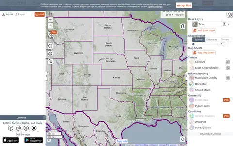
CalTopo is a backcountry mapping tool offering trip planning tools and topographic maps, including USGS and USFS topos and aerial imagery. It supports printing to geospatial PDFs, exporting to KMZ and MBTiles, elevation profiles and terrain analysis, and finding shared maps from other users.

Historic Aerials is an online collection of historical aerial imagery, topographic maps, and modern aerials covering the United States. An interactive viewer lets users explore locations, zoom, and switch between decades, with imagery dating back to the 1920s. The service offers subscriptions and individual purchases of digital downloads and prints.

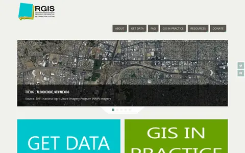
The New Mexico Resource Geographic Information System Program provides a data portal for GIS information. Its Image Archive Program, maintained by the Earth Data Analysis Center at the University of New Mexico, hosts historical aerial photography data for New Mexico and the US Southwest, alongside space shuttle imagery, satellite imagery, topographic maps, and digital data.