An archive of oceanographic data from Fisheries and Oceans Canada's Pacific Region. It holds vertical profiles of temperature, salinity and other water properties, time series from moored instruments, buoys, coast stations and research vessel track observations. Geographic coverage includes B.C. coastal and shelf waters, the open North Pacific, Beaufort Sea and Arctic Archipelago, with records mainly from the 1930s onward. Data are stored as ASCII files and a searchable header database exists.
Directory
Search results
Published directory entries matching your search.
The Partnership for Interdisciplinary Studies of Coastal Oceans is an academic consortium that conducts research on the coastal ocean within the California Current Large Marine Ecosystem and informs management and policy.
BioChem is an archive of marine biological and chemical data maintained by Fisheries and Oceans Canada. It holds discrete data such as pH, nutrients, chlorophyll, dissolved oxygen and plankton data including species counts and biomass measurements. Data support climate research, ecosystem variability studies, satellite data ground-truthing and fisheries research. Users must register for an account to access the query application.
The Copernicus Data Space Ecosystem is an open platform offering free instant access to data and services from the Copernicus Sentinel missions and other Earth observation sources covering land, oceans and atmosphere. It provides infrastructure, services and tools for accessing and processing Sentinel data, and allows users to integrate their own datasets and deploy applications.
Earth and space science publication covering climate, geology, oceans, research and scientific policy.
The Flanders Marine Institute (VLIZ) is an organization that works on science-based knowledge and sustainable use of coasts, seas and oceans. It coordinates the Surface Ocean CO2 Atlas and participates in the ICOS research infrastructure. It offers annual memberships for individuals, families, students and institutions, with fees supporting marine research.
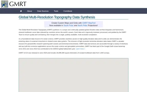
The Global Multi-Resolution Topography (GMRT) synthesis is a continually updated global elevation data set. It integrates cleaned multibeam sonar data collected by scientists across the world's oceans, which the GMRT Team reviews, processes and grids before merging into a single publicly available multi-resolution compilation. It also includes high-resolution terrestrial elevation data.
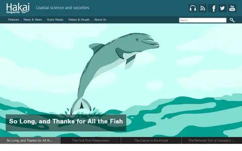
Hakai Magazine is an archived publication that explored science, society, and the environment through narratives highlighting coastal life and phenomena. It ceased publishing at the end of 2024; its team continues to publish new ocean and coast stories at bioGraphic. Past feature articles and Audio Edition podcast episodes remain available.
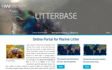
Litterbase is an online portal for marine litter research. It summarises global studies on the amount, distribution and composition of litter and microplastic in oceans, as well as interactions between aquatic life and marine litter and related human impacts. The portal compiles scattered global research to make information on marine litter accessible to policymakers, public authorities, media and the general public.
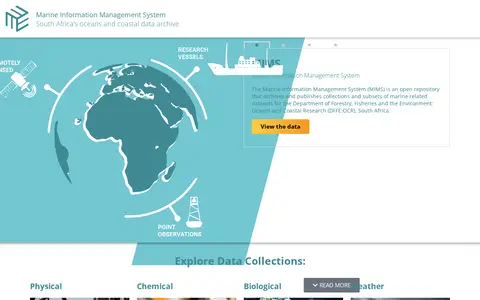
The Marine Information Management System (MIMS) is South Africa's open archive for marine and coastal data, operated for the country's Department of Forestry, Fisheries and the Environment: Oceans and Coastal Research. It archives and publishes marine-related datasets, with collections covering remotely sensed satellite ocean observations, ship-based hydrographic cruise data, and time series data from weather stations and oceanographic moorings.
Memorize Earth is a Jeopardy-style geography trainer covering countries, capitals, U.S. states, Canadian provinces, flags, oceans, mountain ranges, and presidents. Players pick a value, take the clue and clear the board. The site describes the game as extremely difficult and tracks progress over time in the browser.
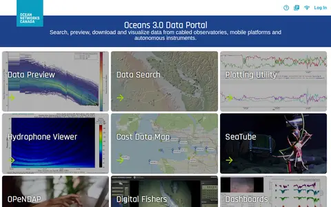
Research data portal for exploring acoustics records, including geospatial data.
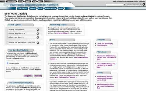
The Seamount Catalog is a digital archive of bathymetric seamount maps that can be viewed and downloaded in various formats. It holds morphological data, sample information, and related grid and multibeam data files, plus user-contributed files, all downloadable. The catalog currently covers more than 1,800 seamounts from all oceans.
The UK Hydrographic Office is an executive agency sponsored by the Ministry of Defence, described as a centre for hydrography that delivers data and expertise in support of safe oceans. Its government page lists activities including the Civil Hydrography Programme and the UK Centre for Seabed Mapping.