



gwosc.org
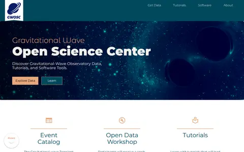
The Gravitational Wave Open Science Center provides access to data from gravitational-wave observatories, along with tutorials and software tools. Its read-only API offers programmatic access to observation runs, event catalogs, single event detections, parameter estimations, data quality and injection segments, and strain datasets and statistics, mostly in JSON format with a Python client recommended for Python projects.