
Directory

Search results

Published directory entries matching your search.

Search results

26 listings
sextant.ifremer.fr

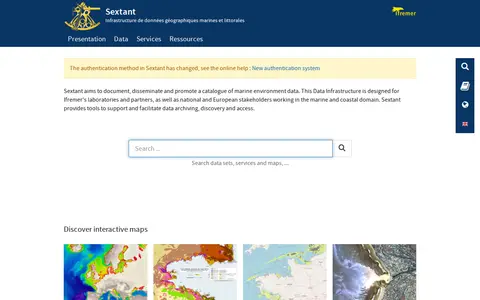
Sextant is a marine and coastal geographic data infrastructure run by Ifremer. It aims to document, disseminate and promote a catalogue of marine environment data, and provides tools to support data archiving, discovery and access. It is intended for Ifremer laboratories and partners as well as national and European stakeholders in the marine and coastal domain, and offers interactive maps of themes such as bathymetry and habitats.
Dataset & Data Search 0
data.bnf.fr

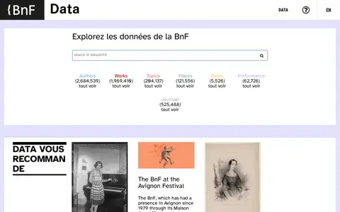
Authority file for persons, organisations, works, topics, and geographic places, of the French National Library.

Dataset & Data Search 0
chesapeakebay.net

The Chesapeake Bay Data Hub provides access to monitoring and modeling data related to the Chesapeake Bay, past and present. Bay Program databases can be queried using user-defined inputs such as geographic region and date range, and each query returns a downloadable tab- or comma-delimited text file for import into programs such as SAS, Excel and Access.

Dataset & Data Search 0

The District of North Vancouver’s Open Data portal, known as GEOweb, is the district's GIS website. It provides public access to mapping, land, environmental, zoning, building and other information stored in the district's geographic information system via an intuitive interface designed to inform and empower users.

Dataset & Data Search 0
earthstat.org

EarthStat provides geographic data sets on agriculture and the environment, created by the Global Landscapes Initiative at the University of Minnesota and the Land Use and Global Environment lab at the University of British Columbia. Its data cover cropland and pasture area, harvested area and yield for 175 crops, greenhouse gas emissions from croplands, climate effects on yields, and nutrient application.

Dataset & Data Search 0

An archive of oceanographic data from Fisheries and Oceans Canada's Pacific Region. It holds vertical profiles of temperature, salinity and other water properties, time series from moored instruments, buoys, coast stations and research vessel track observations. Geographic coverage includes B.C. coastal and shelf waters, the open North Pacific, Beaufort Sea and Arctic Archipelago, with records mainly from the 1930s onward. Data are stored as ASCII files and a searchable header database exists.

Dataset & Data Search 0
geochron.org

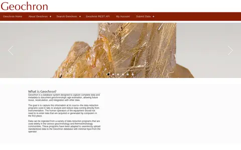
Geochron is a database system for capturing data and metadata documenting geochronologic age estimation, enabling future reuse, recalculation and integration. Data can be ingested from data reduction programs used in geochronology and thermochronology communities, which are adapted to upload standardized data to the database. A REST search service accepts GET variables such as geographic bounds, ages, analysis method, material, rock type and laboratory.

Dataset & Data Search 0
brownbook.net

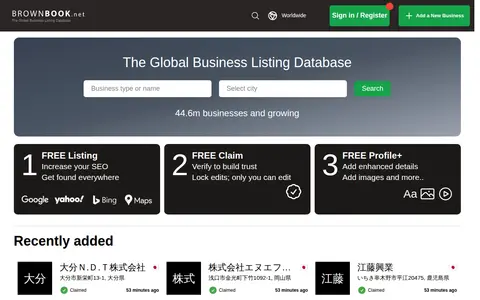
Brownbook is a global business listing database. It offers free business listings for search engine optimization and to help businesses get found on search engines including Google, Yahoo, Bing, Ask, and AOL. Users can also use free claim and free profile options to add enhanced details and images to their listings. The database contains over 44.6 million businesses and is growing.

Search Engines & Tools 0
data.isimip.org

The ISIMIP Repository is a searchable archive of climate impact model data. It holds input data such as climate forcing, socioeconomic forcing and static geographic information, plus output data across sectors including agriculture, terrestrial biodiversity, biomes, fire, regional forests, temperature-related mortality, lakes and fisheries. Users search by simulation round, covering ISIMIP2a through ISIMIP4b.

Dataset & Data Search 0
Preview unavailable
israelpalestine.liveuamap.com

Liveuamap is a map-centric news site founded in 2014 by developers and journalists. Liveuamap shows conflict and other news geographically, using AI web crawlers and analysts to fact-check stories before editors place them on the map. The site offers an archive of past site information and has expanded its coverage beyond the Ukrainian conflict to other regions, including Israel-Palestine.

Maps & Navigation 0
opengisdata.ky.gov

KyGovMaps Open Data Portal is a platform for accessing Kentucky-specific geographic information system (GIS) data and mapping applications. Users can explore, download and analyze geospatial datasets, combine data via map tools, and develop custom web and mobile applications using the portal's resources.

Dataset & Data Search 0

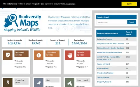
Biodiversity Maps is the National Biodiversity Data Centre's mapping system, integrating terrestrial and marine observational data. It serves as a portal for geographic presentation of Ireland's biological data and compiles biodiversity records from multiple sources, making them freely available online.

Dataset & Data Search 0
nconemap.gov

NC OneMap is a strategic geographic data resource serving the state of North Carolina, offering a collection of authoritative geospatial data and web services. It is a collaborative effort involving local, state, and federal government agencies, private sector organizations, and academic institutions. Users can search or browse available data, use it in their own applications, analyze it with external tools, or build applications using the platform’s APIs.

Dataset & Data Search 0
rgis.unm.edu

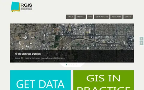
The New Mexico Resource Geographic Information System Program provides a data portal for GIS information. Its Image Archive Program, maintained by the Earth Data Analysis Center at the University of New Mexico, hosts historical aerial photography data for New Mexico and the US Southwest, alongside space shuttle imagery, satellite imagery, topographic maps, and digital data.

Dataset & Data Search 0

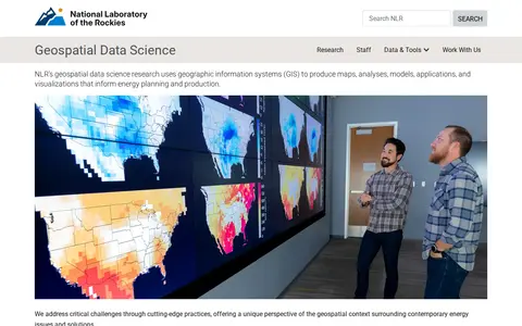
NLR's geospatial data science research uses geographic information systems (GIS) to produce maps, analyses, models, applications, and visualizations that inform energy planning and production. The work offers a geospatial perspective on contemporary energy issues and solutions.

Dataset & Data Search 0
tjukanovt.github.io

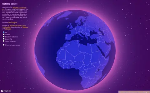
Notable People is a map showing birthplaces of the most notable people around the world, using data from Morgane Laouenan et al. The data has been processed to display only one person for each unique geographic location with the highest notability rank, with filters by category.

Maps & Navigation 0
openaddresses.io

OpenAddresses is a free and open global collection of address data. It combines street names, house numbers and postal codes with geographic coordinates to connect digital to physical places. The data can be parsed and imported into a database, placed on a map, or used for geocoding, and is openly licensed.

Dataset & Data Search 0
opendatakerala.org

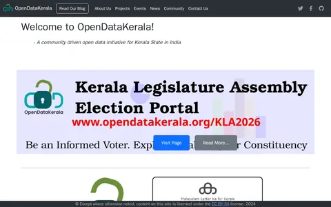
OpenDataKerala is a community-driven open data initiative serving Kerala State in India. It manages projects including local self-government election data, open geographic portals, and open mapping initiatives, and organizes events such as Wikiconference Kerala, State of the Map Kerala, and Open Data Days.

Dataset & Data Search 0
regional-district-of-north-okanagan-gis-open-data-site-rdnogis.hub.arcgis.com

The Regional District of North Okanagan GIS Open Data Site lets users discover, analyze and download geographic data. It offers downloads in CSV, KML, Zip, GeoJSON, GeoTIFF or PNG, API links for GeoServices, WMS and WFS, analysis with charts and thematic maps, and creation of StoryMaps and Web Maps.

Dataset & Data Search 0

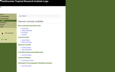
A Smithsonian Tropical Research Institute page listing datasets from its Panama Atlas. It names available datasets including the Barro Colorado Island 50 ha Plot, Cocoli 4 ha Plot, Sherman 6 ha Plot, Tree Atlas Panama Canal Watershed, Lianas of Panama and a Neotropical Tree Geographic Distribution Dataset. Entries include data tables of abundance, soil maps and species lists.

Dataset & Data Search 0
spatialdata.dhsprogram.com

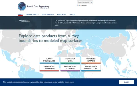
The Spatial Data Repository provides geographically linked health and demographic data from The DHS Program and the U.S. Census Bureau for mapping in a geographic information system. Data products include survey boundaries, indicator data, modeled map surfaces, geospatial covariates, population estimates, and a local data mapping tool.

Dataset & Data Search 0
geodata.tn.gov

TN Geospatial Data is a portal operated by the State of Tennessee that provides access to open geographic data. Users can search for, preview, and download downloadable GIS data from various state agencies.

Dataset & Data Search 0