
Directory

Search results

Published directory entries matching your search.

Search results

28 listings

The South African Environmental Observation Network (SAEON) Open Data Platform is a metadata repository operated by SAEON, a long-term environmental observation and research facility of South Africa's National Research Foundation. The platform facilitates the publication, discovery, dissemination and preservation of earth observation and environmental data related to South Africa.

Dataset & Data Search 0

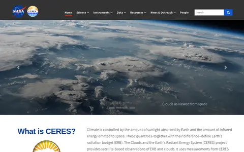
The Clouds and the Earth's Radiant Energy System (CERES) is a NASA project that provides satellite-based observations of Earth's radiation budget and cloud properties. It uses measurements from CERES instruments aboard multiple satellites along with data from other instruments to collect these observations. The project offers data ordering, subsetting and visualization tools, an online radiative transfer tool, and associated documentation and educational resources.

Dataset & Data Search 0
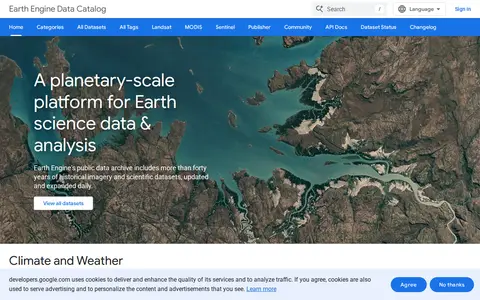
developers.google.com

Google Earth Engine catalog of satellite imagery, climate data, land cover, and geospatial datasets.

Geolocation Tools 0
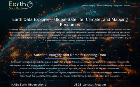
geongrid.org

GEON is a guide to Earth observation data and mapping tools. It points to resources including satellite imagery, terrain data, atmospheric datasets, and tools such as NASA Worldview, Google Earth, and the Shuttle Radar Topography Mission (SRTM) dataset. It hosts an Earth Data Explorer that serves as a central hub for global Earth science data resources used in science, education, and environmental planning.

Dataset & Data Search 0
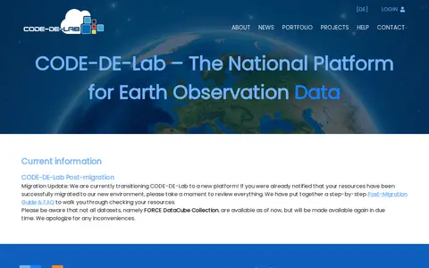
code-de.org

CODE-DE-Lab is the national platform for the provision and processing of Earth observation data in Germany. It offers searching, access, analysis and processing of a repository of Earth observation data on a cloud infrastructure, with services described as free of charge. Infrastructure resources are reserved for German public authorities and the academic community.

Dataset & Data Search 0
Preview unavailable
discover.digitalglobe.com

DigitalGlobe discovery tools help explore satellite imagery, geospatial data, and earth observation resources.

Maps & Navigation 0
Preview unavailable
maps.descarteslabs.com

Descartes Labs map viewer helps explore satellite imagery, geospatial layers, and earth observation data.

Maps & Navigation 0

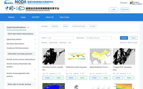
ChinaGEOSS Data Sharing Network is a data discovery platform showing earth observation data products, deeper-processed information data, remote sensing data and other data. Datasets can be filtered by spatial location, data format and data type, or searched by keyword and time range. Online resources can be downloaded directly; offline resources require administrator approval.

Dataset & Data Search 0

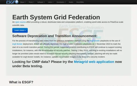
The Earth System Grid Federation is an open source collaboration that develops, deploys and maintains software infrastructure for managing, disseminating and analysing model output and observational data. Its peer-to-peer system serves climate data from multiple locations, including model simulations, satellite observations and reanalysis products. The project also states that the esgf-ansible installation playbooks were deprecated on 1 November 2023.

Dataset & Data Search 0
Preview unavailable
satellites.pro

Online world map service offering a satellite view of the Earth with labels, a ruler, place sharing, search and locating. It also lists route planning, state boundary tracking, city lists for each state and weather forecast.

Maps & Navigation 0
sdo.gsfc.nasa.gov

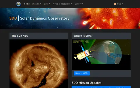
Solar Dynamics Observatory (SDO) is a NASA mission designed to study the solar atmosphere at fine space and time scales across multiple wavelengths to understand the Sun’s influence on Earth and near-Earth space. Its associated portal provides access to mission data, spacecraft specifications, instrument details, scientific publications, observation event information, and outreach resources.

Dataset & Data Search 0
firms.modaps.eosdis.nasa.gov

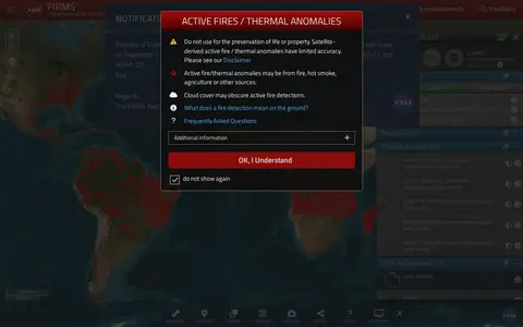
NASA FIRMS map shows satellite-detected fires, hotspots, and fire activity around the world.

Maps & Navigation 0
google.com

Google Maps provides maps, directions, satellite views, business listings, street views, and location search.

Maps & Navigation 0
bing.com

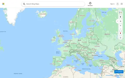
Bing Maps provides web maps, directions, traffic views, aerial imagery, and place search.

Maps & Navigation 0
canwin-datahub.ad.umanitoba.ca

CanWIN is the data centre for the Centre for Earth Observation Science at the University of Manitoba. The repository holds datasets, projects and publications on watershed, freshwater, marine and atmospheric topics, searchable by theme or map, and supports data discovery, submission and download.

Dataset & Data Search 0
archive.ceda.ac.uk

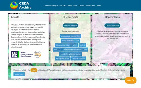
The CEDA Archive is a repository of atmospheric and earth observation data. It hosts over 20 petabytes of data from climate models, satellites, aircraft, meteorological observations and other sources as part of the Natural Environment Research Council's Environmental Data Service.

Dataset & Data Search 0
cesium.com

Cesium story viewer for exploring 3D geospatial scenes, maps, satellite data, and location narratives.

Maps & Navigation 0
dataspace.copernicus.eu

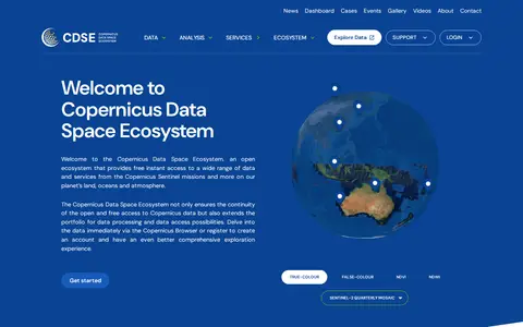
The Copernicus Data Space Ecosystem is an open platform offering free instant access to data and services from the Copernicus Sentinel missions and other Earth observation sources covering land, oceans and atmosphere. It provides infrastructure, services and tools for accessing and processing Sentinel data, and allows users to integrate their own datasets and deploy applications.

Dataset & Data Search 0
data.public.lu

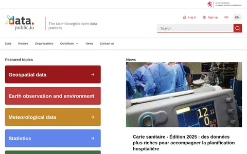
data.public.lu is the official open data portal of Luxembourg. It hosts public datasets, data reuses and related resources, with featured topic areas including geospatial data, earth observation and environment, meteorological data, statistics, mobility and companies.

Dataset & Data Search 0
Preview unavailable
start.me

Curated GEOINT resource board with links for geospatial intelligence, maps, imagery, and location research.

Research & Discovery Tools 0
search.earthdata.nasa.gov

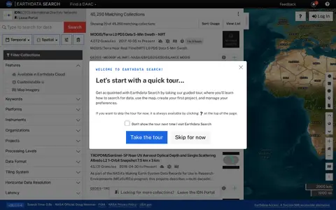
Earthdata Search is a browser-based tool for searching, discovering, visualizing, refining and accessing NASA Earth Observation data, offered through the IDN portal. The page requires JavaScript and a current browser; it notes an accessible alternative called Earthdata Access for users who need it.

Dataset & Data Search 0
kartaview.org

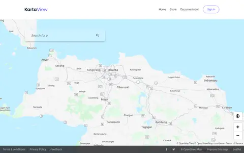
KartaView shows crowdsourced street-level imagery for roads, routes, and map improvement projects.

Maps & Navigation 0
livingatlas.arcgis.com

ArcGIS Living Atlas offers curated maps, imagery, demographic layers, and global geographic datasets.

Maps & Navigation 0
mapillary.com

Mapillary shows crowdsourced street-level imagery for roads, places, routes, and mapping projects.

Maps & Navigation 0