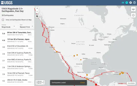

earthquake.usgs.gov
USGS is a miscellaneous web resource for discovery, directories, archives, web culture, or useful tools.
Directory
Published directory entries matching your search.
USGS is a miscellaneous web resource for discovery, directories, archives, web culture, or useful tools.
USGS Maps is a miscellaneous web resource for discovery, directories, archives, web culture, or useful tools.
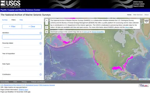
The National Archive of Marine Seismic Surveys is a USGS data website presenting marine seismic reflection data within the United States. Visitors can click the map to select nearby surveys, mouse over survey names to highlight surveys, filter surveys by keyword and open individual survey pages for data and information.
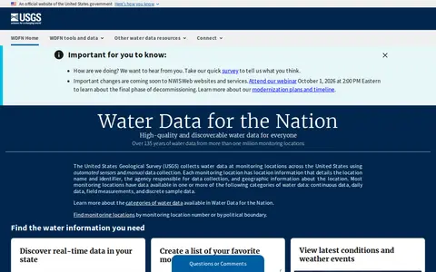
USGS Water Data for the Nation is an official United States government water data portal. It provides access to real-time and over 135 years of historical water data, tools to save favorite monitoring locations, create water alerts, and programmatic access to data via APIs. Users can explore water conditions, latest weather events, and related water resources information through the platform.

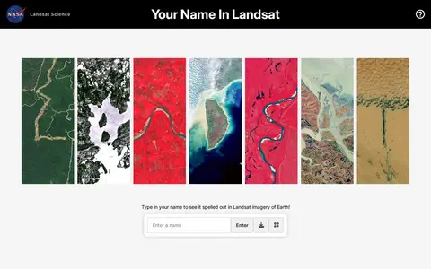
Your Name in Landsat is an interactive NASA and USGS tool that spells a typed name using Landsat satellite imagery of Earth, letter by letter, and allows sharing the resulting image. The satellite images come from Landsat's record spanning more than 50 years.

Cadmapper creates 3D CAD files of any area in the world from public data sources such as OpenStreetMap, NASA and USGS, producing organized, layered drawing files. Areas up to 1 km2 are free, files up to 100 km2 cost a small fee, and whole-city road network DXF files are free. It targets designers, architects and illustrators, with support for AutoCAD and SketchUp.

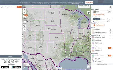
CalTopo is a backcountry mapping tool offering trip planning tools and topographic maps, including USGS and USFS topos and aerial imagery. It supports printing to geospatial PDFs, exporting to KMZ and MBTiles, elevation profiles and terrain analysis, and finding shared maps from other users.

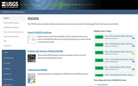
The PAGER system is part of the USGS Earthquake Hazards Program and provides fatality and economic loss impact estimates after significant earthquakes worldwide. The page links to maps and lists of PAGER events from the past 24 hours, 7 days and 30 days, and to an archive search that defaults to events with PAGER products from the past 30 days, refinable by the user.

Browse research datasets and image related to geosciences.

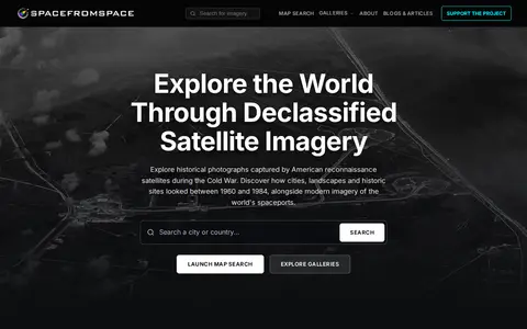
SpaceFromSpace is an archive of satellite imagery that includes declassified Cold War reconnaissance photographs and modern spaceport views. Images are stitched and georeferenced from raw USGS datasets and presented on interactive maps, with galleries covering declassified, spaceport and recently added scenes.