
spatial.io
Spatial is a gaming resource for guides, communities, tools, game discovery, or reference links.
Directory
Published directory entries matching your search.
Spatial is a gaming resource for guides, communities, tools, game discovery, or reference links.

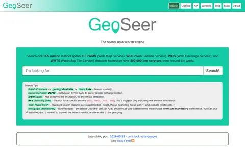
GeoSeer is a search engine for spatial web services. It is used to find WMS, WFS, WCS, and WMTS datasets for use within a GIS. The site states that searches cover over 3.5 million distinct spatial datasets hosted on over 400,000 live services worldwide. Search options include service type, EPSG code preference, exact phrases, exclusions, and boolean logic.
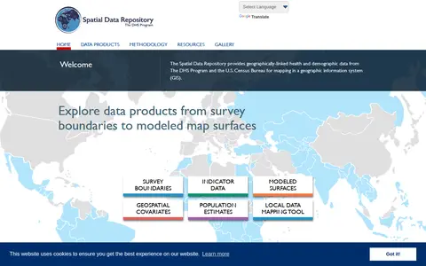
The Spatial Data Repository provides geographically linked health and demographic data from The DHS Program and the U.S. Census Bureau for mapping in a geographic information system. Data products include survey boundaries, indicator data, modeled map surfaces, geospatial covariates, population estimates, and a local data mapping tool.

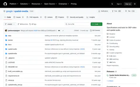
Specifications and tools for 360º video and spatial audio.

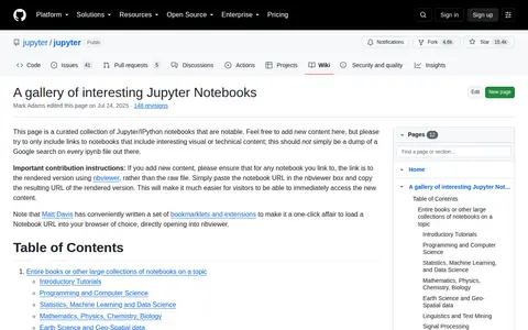
This is a curated gallery of interesting Jupyter Notebooks, organized by topic categories including introductory tutorials, programming and computer science, statistics and machine learning, data science, mathematics, physics, chemistry, biology, earth science, geo-spatial data, linguistics, and text mining.

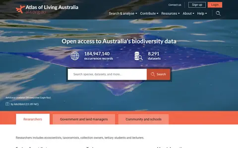
The Atlas of Living Australia is a biodiversity data platform offering open access to Australian biodiversity data. It holds occurrence records and datasets and lets users search and download records by species, taxon, dataset, region, date or location. It provides tools including an R and Python package, a spatial portal and BioCollect for surveys and field data.

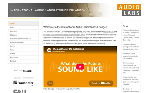
Audiolabs, formally the International Audio Laboratories Erlangen, is a joint research institution operated by Fraunhofer IIS and Friedrich-Alexander-Universität Erlangen-Nürnberg (FAU), founded in 2010. The organization conducts research in audio and multimedia technologies, with focus areas including audio coding, audio signal analysis, and perceptual spatial audio signal processing. It also hosts academic events including the International Symposium on the Internet of Sounds.

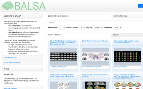
BALSA hosts extensively analyzed neuroimaging and neuroanatomical datasets mapped to brain atlas surfaces and volumes. It holds user-submitted BALSA Studies tied to published figures and curated BALSA Reference datasets, with scene files displayable in the Connectome Workbench platform. Study and reference datasets can contain several scene files with multiple scenes. Previews of scene thumbnails and downloads without release constraints do not require login.

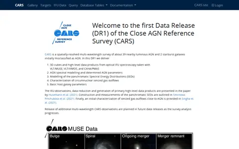
CARS is the first data release of the Close AGN Reference Survey, a spatially resolved multi-wavelength survey of about 39 nearby luminous AGN and 2 starburst galaxies. It provides 3D cubes and high-level data products from optical IFU spectroscopy. All data is publicly available; registration offers a dedicated SQL workspace.

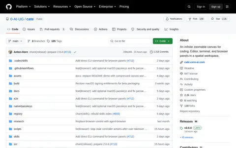
Cate is an infinite zoomable canvas for coding that places editor, terminal, and browser panels in a spatial workspace. It supports running agent CLIs in terminals, with panels shown on a canvas or dock and git worktrees for parallel branches.

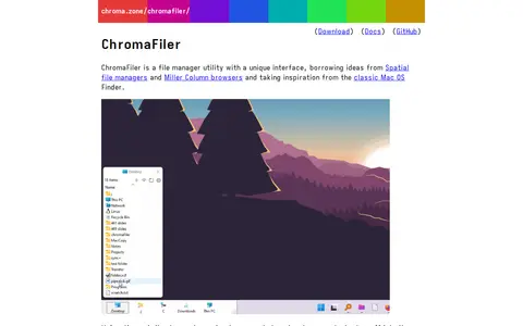
ChromaFiler is a Windows file manager utility with a column-view interface borrowing ideas from spatial file managers and Miller Column browsers. Columns can be broken off into separate windows by dragging and dropping, and it can serve as a popup menu docked to the taskbar or a replacement for Windows File Explorer. It works on Windows 7 through 11.

Data.Vic is a portal for discovering and accessing Victorian government open data. It lets users browse data by themes such as planning, transport, Vicmap spatial data, education, environment and community, and offers news and updates on datasets and APIs.

Website for map-based access to spatial information, developed by Data61 CSIRO and Geoscience Australia.
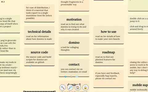
Domino is a tool for collaging thoughts, presenting a spatial arrangement of cards that can form an essay, mind map, or collage. Users click and drag to navigate the board, double-click cards to jump to them, and can edit content by toggling unlocked mode.
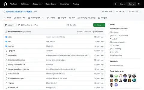
dpnn is a package of deep extensions to the nn neural network library, providing extra modules and criterions beyond the main nn package. It includes modules such as Serial, Inception, ReverseTable, SpatialUniformCrop and SpatialGlimpse, plus modules and criterions for implementing the REINFORCE algorithm.

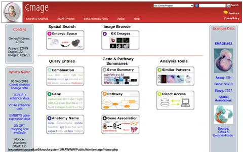
EMAGE is a database of mouse embryo gene expression data. The site offers search and analysis options including embryo space, combination queries, gene and protein terms, anatomical names and spatial annotations, along with gene and pathway summaries and direct data access. It reports counts of genes, assays, stages and images, and provides an image gallery and analysis tools.

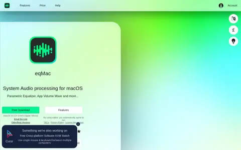
eqMac is a system audio equalizer for macOS offering a parametric equalizer, per-application volume mixer, headphone presets and spatial audio, supporting Intel and Apple Silicon Macs on macOS 10.13 and later. A Basic tier is free; the Pro Subscription starts at $3 per month or $30 per year, and a Pro Lifetime License costs $40.

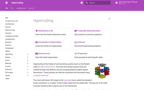
Hypercubing is the hobby of solving twisty puzzles such as the Rubik's cube in higher dimensions. Twisty puzzle movements are mathematically defined and can be generalized to higher spatial dimensions, with the puzzles visualized and simulated using computer software. The site offers an introduction to 4D, an FAQ, hypercubing software downloads, a progression section and a Discord server.
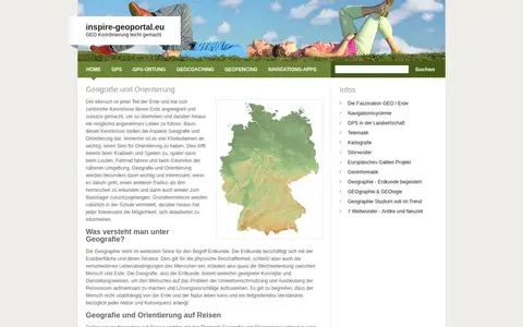
European geoportal for finding INSPIRE spatial datasets, map services, and geographic metadata.

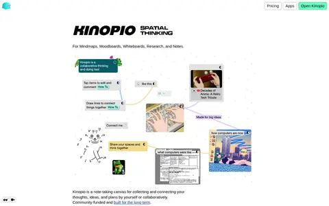
Kinopio is a spatial note-taking canvas for collecting and connecting thoughts, ideas, and plans, alone or collaboratively. Cards can be connected, grouped into boxes and lists, and edited in bulk by painting over items. It also offers an API for reading and editing cards and spaces, and help documentation. The site states it is free for 100 cards with no sign up required.

LTER-Italy Dataset Asset Registry is the digital asset register for the LTER-Italy long-term ecological research network. It hosts resources including spatial data, maps, and assets, and provides remote services. It is funded under the EU Next Generation EU PNRR as part of the Italian Integrated Environmental Research Infrastructures System, and is available in English and Italian.
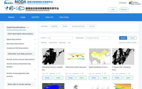
ChinaGEOSS Data Sharing Network is a data discovery platform showing earth observation data products, deeper-processed information data, remote sensing data and other data. Datasets can be filtered by spatial location, data format and data type, or searched by keyword and time range. Online resources can be downloaded directly; offline resources require administrator approval.
The Newfoundland and Labrador Open Data portal releases government datasets under an open licence, free of charge for anyone to use and reuse for any purpose. It offers tabular and spatial dataset catalogs, tags for finding data by topic, and charts and maps built from individual datasets. Data is provided in accessible, machine-readable formats such as XLS, CSV and TXT.

OpenArt is an AI creation platform for generating images, videos, audio and 3D worlds. Its features include a cinematic video generator, a URL to Video tool that turns a web link into a video, and generators for Pixar-style characters, logos, 3D cartoons, technical drawings and interior designs. OpenArt Worlds creates navigable 3D worlds from an image, powered by World Labs spatial AI.