

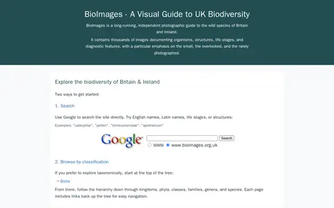
BioImages is a personal photographic guide to the biodiversity of Britain and Ireland. Users can search the site through Google or browse a taxonomic hierarchy from biota down to species. It covers most major organism groups except birds and other vertebrates, with images showing multiple angles, life stages and diagnostic features. Images are hosted by DiscoverLife and are intended as visual support for identification.
Brain Analysis Library of Spatial maps and Atlases
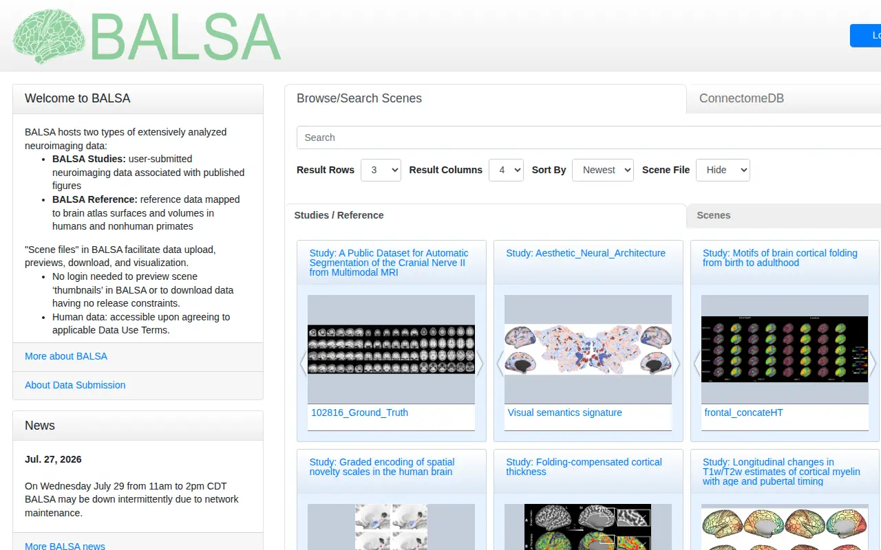
BALSA hosts extensively analyzed neuroimaging and neuroanatomical datasets mapped to brain atlas surfaces and volumes. It holds user-submitted BALSA Studies tied to published figures and curated BALSA Reference datasets, with scene files displayable in the Connectome Workbench platform. Study and reference datasets can contain several scene files with multiple scenes. Previews of scene thumbnails and downloads without release constraints do not require login.
Links
Tags
-
0BioImages is a personal photographic guide to the biodiversity of Britain and Ireland. Users can search the site through Google or browse a taxonomic hierarchy from biota down to species. It covers most major organism groups except birds and other vertebrates, with images showing multiple angles, life stages and diagnostic features. Images are hosted by DiscoverLife and are intended as visual support for identification.
-
0UBIRA eData is the University of Birmingham eData Repository, which accepts deposits of research outputs such as datasets, theses and working papers. Users can browse the repository by year, funders, division and author, and search at simple and advanced levels. A technical fault is reported on the repository.
-
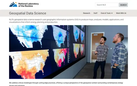
0NLR's geospatial data science research uses geographic information systems (GIS) to produce maps, analyses, models, applications, and visualizations that inform energy planning and production. The work offers a geospatial perspective on contemporary energy issues and solutions.
-
0Dataset repository covering economics, with searchable aggregated data.
-
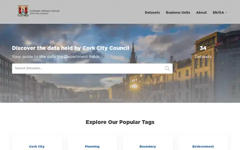
0Cork City Council's open data portal offers datasets about Cork in an open, downloadable format. The site lists 34 datasets, including popular tags such as Cork City, planning, boundary, environment and conservation. It states the data can be used for research, web and mobile application development, and data visualisations. Questions and comments go to an open data email address.
-
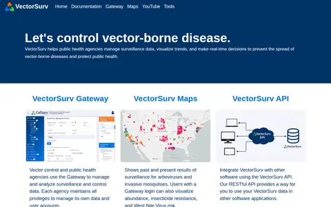
0VectorSurv is a vector-borne disease surveillance system. Public health and vector control agencies use the Gateway to manage and analyze surveillance and control data, and each agency keeps privileges to manage its own data and user accounts. VectorSurv Maps shows past and present surveillance results for arboviruses and invasive mosquitoes. A RESTful API lets users integrate VectorSurv data with other software.
Community notes
Reviews and discussion
No reviews yet
Be the first to share how this project worked for you.
Join the discussion
Sign in with a verified account to leave a review or join the discussion.
Sign in to review