
google.com
Google Maps provides maps, directions, satellite views, business listings, street views, and location search.
Directory
Published directory entries matching your search.
Google Maps provides maps, directions, satellite views, business listings, street views, and location search.

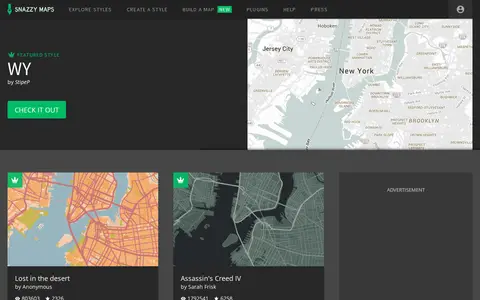
Snazzy Maps is a repository of color schemes for Google Maps aimed at web designers and developers. Styles are used by copying the JSON from a style page and passing it to the map options of a Google Maps object. The site lists popular and recent styles and offers a Map Builder.

GPS Visualizer is an online utility that creates customizable maps and profiles from GPS data such as tracklogs and waypoints, addresses, or coordinates. Input can include driving routes, street addresses, or simple coordinates, and output includes Leaflet/Google maps, Google Earth KML, and JPG/PNG/SVG maps. The site states it has been on the Web since October 2002.

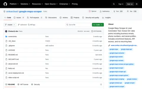
Google Maps Scraper & Lead Generation Tool. Extract 50+ data points including business emails, phone numbers, and social profiles. Includes enrichment features, API access, and no recurring fees

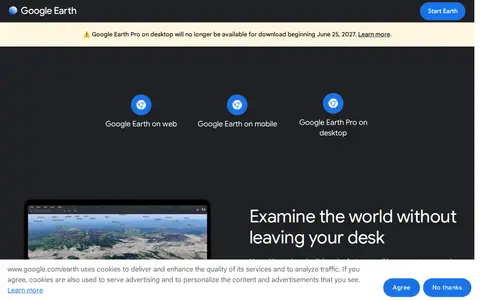
Google Earth is available on web, mobile and desktop. On mobile it allows users to browse the globe, add placemarks and annotate maps. On desktop, Google Earth Pro offers advanced tools including importing and exporting GIS data and viewing historical imagery, on PC, Mac or Linux.

Google's main web search engine for finding pages, images, videos, maps, news, and online information.

DrivingSimulator is a 3D driving simulator developed by FrameSynthesis Inc. that operates on Google Maps. It allows users to drive vehicles for activities including safe driving, off-road travel, parking, circuit racing, and global exploration. Steering is controlled via left and right arrow keys, while up and down arrow keys manage forward and reverse movement; mobile devices use a virtual control stick. The project’s development is suspended due to Google Maps API usage costs, the page may cease functioning at any time, and no feature requests will be addressed.

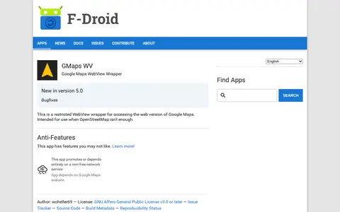
An Android app that wraps the web version of Google Maps in a restricted WebView for access when OpenStreetMap isn't enough. It depends on the Google Maps website, a non-free network service. It requires Android 5.0 or newer and is licensed under the GNU Affero General Public License v3.0 or later.

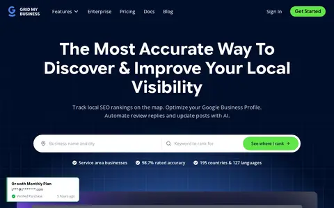
A local SEO tool that scans geo-grids to show Google Maps rankings across multiple locations and offers AI-assisted optimization of Google Business Profiles. It includes rank tracking, competitor tracking, support for service area businesses, and AI search visibility checks. Agency features include white-label PDF reports, organized workspaces, and secure team management.

Time.Graphics is an online timeline creation platform for building interactive timelines. It offers AI-generation that is free to try, a dashboard for managing teachers, students, classrooms and subscriptions, imports from Google Calendar, Google Maps, YouTube and Google Sheets, and export options for offline viewing. Public timelines number over 500,000. Premium subscription plans are listed at $4.9 for 2 days, $18.9 for 1 Month, and $97.9 for 1 year.

PresentationGO offers a library of free PowerPoint templates, Google Slides themes, diagrams and infographics. The site states the designs are fully editable and available without sign-up. Templates are organized by category such as business, infographics, maps, education, medical and technology, and many are listed as available for both PowerPoint and Google Slides in 16:9 format.

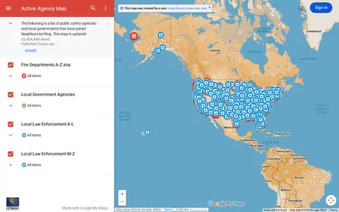
Google map showing active agency locations, activity, or organizational presence by place.

TimelineJS is an open-source tool for building visually rich, interactive timelines, described as a free, easy-to-use tool for telling stories in a timeline format. Beginners can create a timeline using a Google spreadsheet, while experts can use JSON skills for custom installations. The tool can pull in media from sources including Twitter, Flickr, YouTube, Vimeo, Google Maps, Wikipedia and SoundCloud.

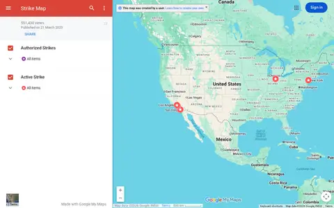
Google map tracking labor strikes, workplace actions, and related events across the United States.

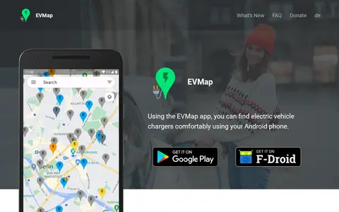
EVMap is an Android app for finding electric vehicle chargers, with map data from Google Maps or OpenStreetMap and community-maintained data. It offers place search, advanced filtering options, a favorites list and support for Android Auto and Android Automotive OS. The app is free and without ads.

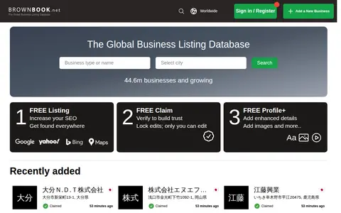
Brownbook is a global business listing database. It offers free business listings for search engine optimization and to help businesses get found on search engines including Google, Yahoo, Bing, Ask, and AOL. Users can also use free claim and free profile options to add enhanced details and images to their listings. The database contains over 44.6 million businesses and is growing.

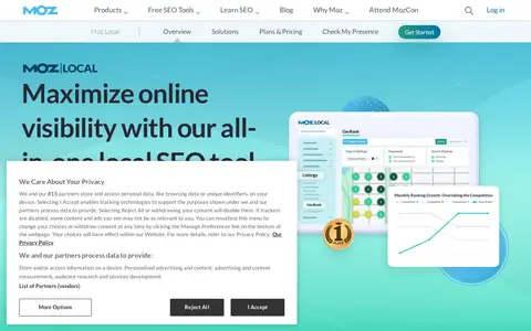
Moz Local is a local SEO tool for managing business listings across directories. It offers auto-syncing of listings, listing health monitoring, Google Business Profile performance insights, and centralized review management from one dashboard. Paid plans include Lite, Preferred and Elite tiers, with larger deployments handled through enterprise custom pricing.

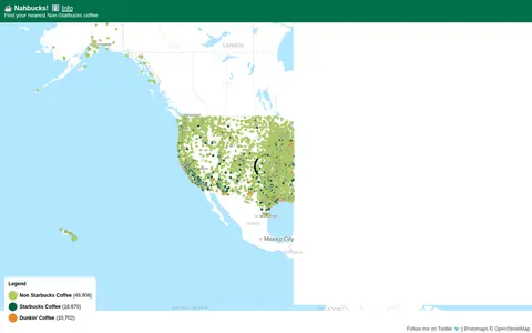
Nahbucks! shows the nearest non-Starbucks coffee shop. It states that coffee shop data was extracted from Google Maps by scraping businesses with categories such as coffee shops, coffee roasters, coffee wholesaler, coffee store and coffee stand. The page includes an affiliate link for Lifeboost Coffee.

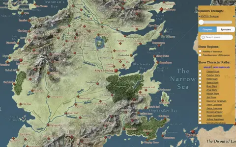
An interactive map of the world in A Song of Ice & Fire and A Game of Thrones. A slider lets visitors hide details beyond the chapters or episodes they have completed, and the paths of major characters can be animated. The map links to further details on the Westeros.org wiki and uses the Google Maps API.

ShadeMap is an online tool that simulates sun shadows for any date and time at any place on Earth. It simulates shadows cast by buildings, trees and terrain in 3D and can generate shadow accumulation and shadow accrual maps. The service runs online without installing or buying Google Earth Pro.
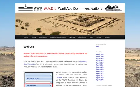
Web GIS presenting raw survey data from the Wadi Abu Dom Itinerary project, developed with the Institute for Geoinformatics of the WWU Muenster. The platform is currently shared with the Doliche research project. It offers a layer tree for loading datasets and background maps such as Open Street Map or Google Earth, and allows uploading gpx or kml data for private comparison.

Whitespark offers software and services for local SEO. Its tools cover Google Business Profile management, local ranking grids, rank tracking, citation finding and review generation. Services include SEO and citation building for small businesses, agencies and multi-location enterprises.

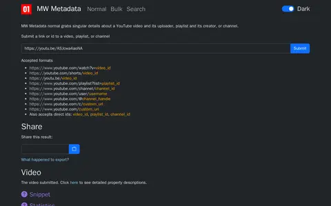
MW Metadata gathers metadata about a YouTube video, playlist, or channel from the YouTube API. Users submit a link or ID, and the tool supports reverse image search of thumbnails, geolocation in Google Maps, and translation of ISO country and language codes. Results can be exported as a zip file or shared.