
github.com
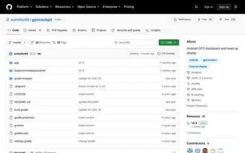
GPSCockpit is a code project with source, releases, documentation, or setup notes.
Directory
Published directory entries matching your search.
GPSCockpit is a code project with source, releases, documentation, or setup notes.

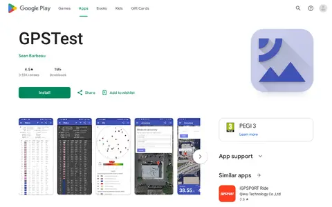
GPSTest is an app store page with install details, screenshots, reviews, and app information.

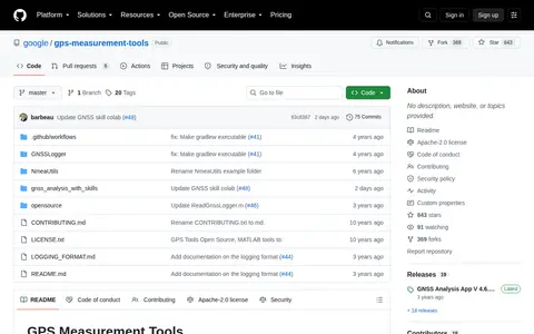
gps-measurement-tools is a open-source project related to Google.

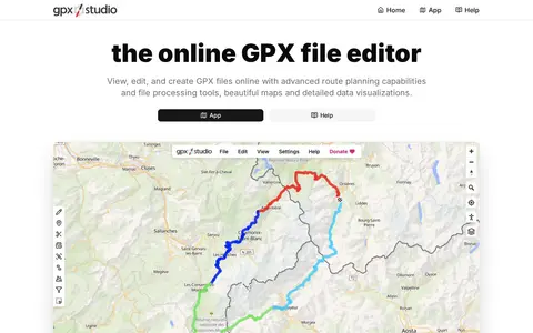
GPX Studio edits, merges, cleans, and visualizes GPS tracks and route files in the browser.

Pic2Map is an online EXIF data viewer with GPS support that allows users to locate and view photos on a map. It uses EXIF data found in photos from digital cameras, smartphones, and tablets. Without GPS data, it still serves as an online EXIF data viewer.

Picarta uses AI to predict where a photo was taken, returning estimated GPS coordinates, city, and country with confidence scores. It analyzes visual clues in the image rather than relying on EXIF metadata or embedded GPS tags. The project offers a web app and an API, with on-premise deployment for enterprise clients.

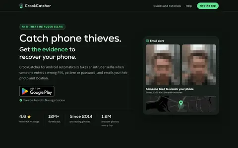
CrookCatcher is an Android app that takes a front-camera photo and records GPS location when someone enters a wrong PIN, pattern or password, then emails the photo and location. A Pro tier adds video with sound, break-in detection, back camera, Google Drive backup and other options.
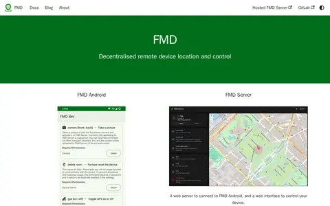
FMD is an app to locate and remotely control an Android device, useful if the device is lost or misplaced. It sends commands such as locating by GPS over transport channels including SMS. A companion web server connects to the app and provides a control interface, and users can self-host the server.

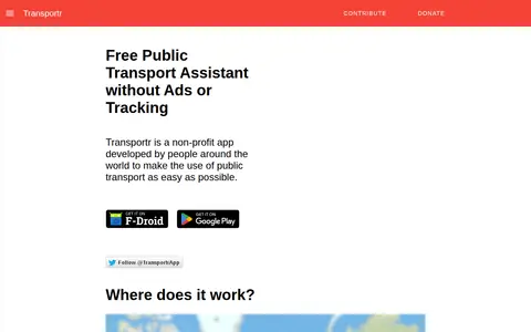
Transportr is a non-profit, open-source Android app for public transport that aims to make using transit easier. It displays stations and trips on maps, finds connections and transfers, shows live departures, including real-time delays in supported areas, and uses GPS for the current position. It saves frequently used locations and trips, and its source code is open.

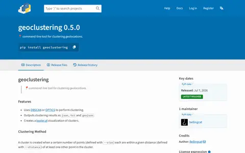
Python package for clustering geographic coordinates and grouping location data points.

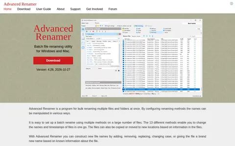
Advanced Renamer is a batch file renaming utility for Windows and macOS. It renames multiple files and folders at once using 13 renaming methods to change names and timestamps. New names can be constructed by adding, removing, replacing, changing case, or renaming based on known file information, and output can be previewed before renaming. An undo option reverses a complete batch. It supports image metadata such as EXIF and XMP and uses embedded GPS data to insert place names.

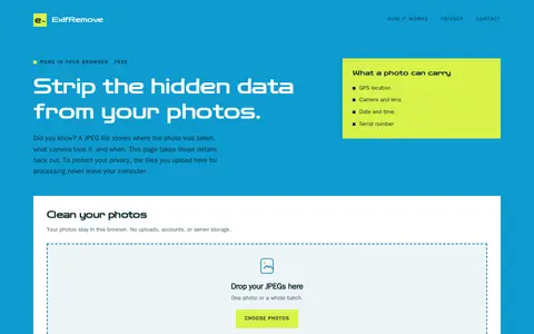
ExifRemove is a browser-based tool that removes EXIF, GPS, and other embedded metadata from JPEG photos. It processes several photos at once and allows download individually or as a ZIP; files stay on the user's device. It supports JPEG files only, up to 25 MB each and 50 photos or 200 MB per batch.

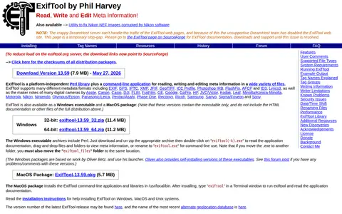
ExifTool is a platform-independent Perl library and command-line application for reading, writing and editing metadata in image, audio and video files. It supports formats including EXIF, GPS, IPTC and XMP, and maker notes from many camera brands. It is available for Windows, MacOS and Unix systems.
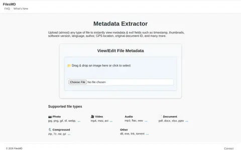
FilesMD is a web-based metadata viewer and editor. Users upload files to view EXIF and metadata fields such as timestamp, thumbnails, software version, language, author, and GPS location. It also supports editing file metadata and lists supported file types.

Geolocation OSINT tool for collecting location clues from social media and online sources.

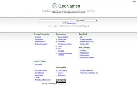
GeoNames is a geographical database covering all countries, containing over eleven million placenames available for free download. It provides REST web services for accessing geographical data, with both free and premium service tiers, including data on elevation, country codes, and postal codes.

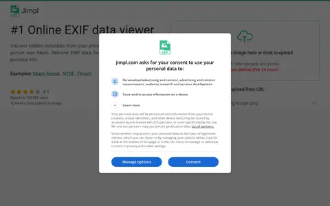
Jimpl is an online EXIF metadata viewer for photos and images. Users upload a photo, view recorded metadata such as date, time, camera settings and GPS coordinates, and can download the photo with EXIF data removed. Uploads are limited to 50 MB and photos are deleted after 24 hours.

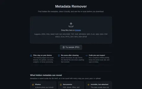
Metadata Remover is a browser-based tool that removes EXIF, GPS, PDF, Office, EPUB and MP3 ID3 metadata from files. The cleaning engine runs locally in the browser using Rust compiled to WebAssembly, so files are not uploaded. Cleaned files are re-scanned before download.

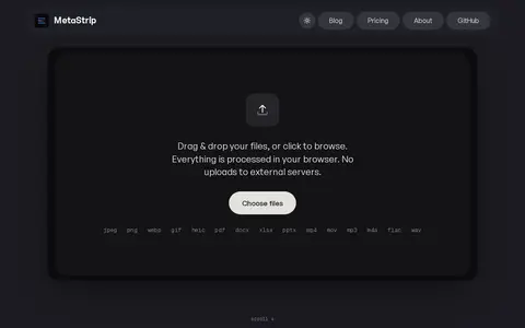
MetaStrip is a browser-based tool that removes metadata from photos, videos, PDFs and documents, including GPS, camera and author details plus AI tags and C2PA Content Credentials. It runs entirely client-side, so files are not uploaded, and reads metadata locally with libraries such as piexifjs and pdf-lib. It supports batch processing of up to 100 files and is open source under MIT.
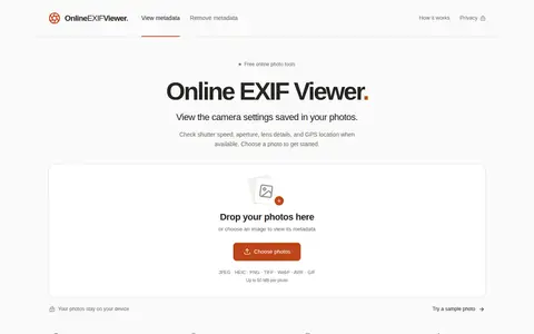
Online EXIF Viewer is a browser-based tool for viewing EXIF data and image metadata. It shows camera and lens details, shutter speed, aperture, ISO, capture time and GPS location when present. It also reads IPTC and XMP metadata, including captions, keywords and creator credits. Metadata can be copied, downloaded or shared through a public link.
VerExif is a website for viewing and removing EXIF metadata from pictures online without downloading software. It accepts a public image up to 20MB, shows GPS information on a map when present, and states that no copy of the image is stored.