
developers.google.com
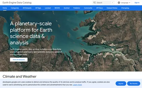
Google Earth Engine catalog of satellite imagery, climate data, land cover, and geospatial datasets.
Directory
Published directory entries matching your search.
Google Earth Engine catalog of satellite imagery, climate data, land cover, and geospatial datasets.

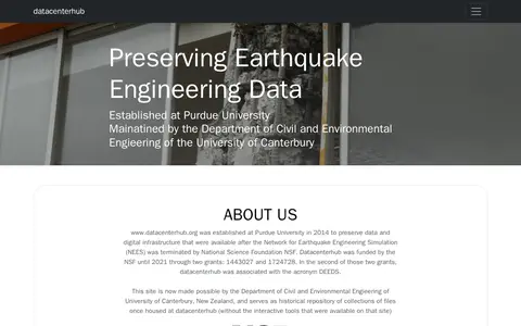
Historical repository preserving earthquake engineering data and digital infrastructure. Established at Purdue University in 2014 after the Network for Earthquake Engineering Simulation ended, it now serves as a repository of file collections without the interactive tools formerly available. Maintained by the University of Canterbury's Department of Civil and Environmental Engineering.

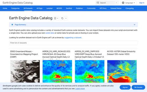
A public catalog of Earth science raster and vector datasets that can be imported into a script environment with a single click. It also accepts uploaded raster or vector data for private use or sharing in scripts. Datasets cover satellite imagery, elevation models, land cover, climate, atmospheric measurements and demographic topics.
Search engineering data collections and supporting datasets from USA.

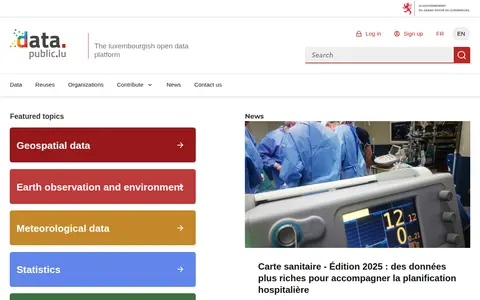
data.public.lu is the official open data portal of Luxembourg. It hosts public datasets, data reuses and related resources, with featured topic areas including geospatial data, earth observation and environment, meteorological data, statistics, mobility and companies.