
pypi.org
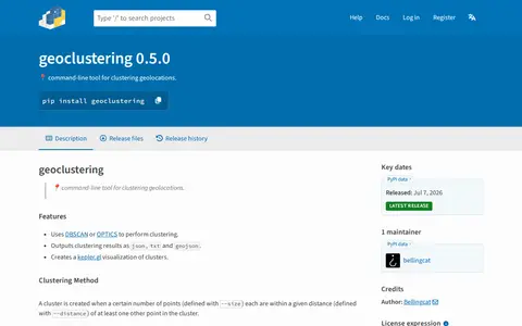
Python package for clustering geographic coordinates and grouping location data points.
Directory
Published directory entries matching your search.
Python package for clustering geographic coordinates and grouping location data points.

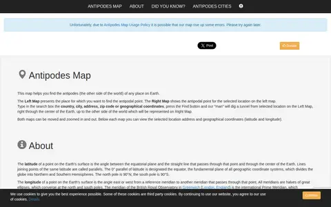
A mapping tool that finds the antipodal point of any place on Earth. Users enter a country, city, address, zip code or coordinates, and the site displays the original location on one map and its diametrically opposite location on another. Both maps can be moved and zoomed, and the address and coordinates are shown below each map.
Cell tower locator that converts cell ID and network details into approximate GPS coordinates.
Tool for finding GSM base station coordinates from cell ID, LAC, MCC, and MNC values.

GPS Visualizer is an online utility that creates customizable maps and profiles from GPS data such as tracklogs and waypoints, addresses, or coordinates. Input can include driving routes, street addresses, or simple coordinates, and output includes Leaflet/Google maps, Google Earth KML, and JPG/PNG/SVG maps. The site states it has been on the Web since October 2002.
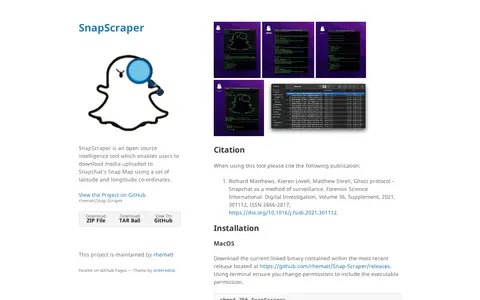
SnapScraper is an open source intelligence tool for downloading media uploaded to Snapchat's Snap Map using latitude and longitude coordinates. It runs as a command line tool and only supports MacOS, though dependencies were checked for compiling on other systems. Users obtain coordinates from map.snapchat.com and enter latitude and longitude to six decimal places.

The Australasian Virtual Herbarium provides access to the collecting data associated with plant, algae and fungi specimens held in Australian and New Zealand herbaria. Search results can be filtered with data quality profiles, which are disabled by default in AVH. An 'Explore your area' page allows searching by location, address, postcode or coordinates.

AutoGPT is a platform that provides a team of AI experts for content, sales, research, and recurring work. Users share context, connect their tools, and an AI named Otto coordinates the team. The service offers a free trial for new users.
CLARIN-ERIC is a European research infrastructure offering sustainable access to a wide range of language data and tools to support research in humanities and social sciences. It coordinates national consortia, knowledge centres, and projects. It provides resources including a federated data search engine, the Virtual Language Observatory, and the Language Resource Switchboard. It also offers training, education, and outreach activities.

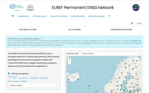
The EUREF Permanent GNSS Network is a pan-European network of continuously operating GNSS reference stations, coordinated by the EPN Central Bureau. It provides access to the European Terrestrial Reference System 89 and distributes GNSS data, station coordinates and velocities under an open-data policy. The network covers 400+ active reference stations. The EPN CB does not operate the stations; each is managed by a responsible agency or institution.
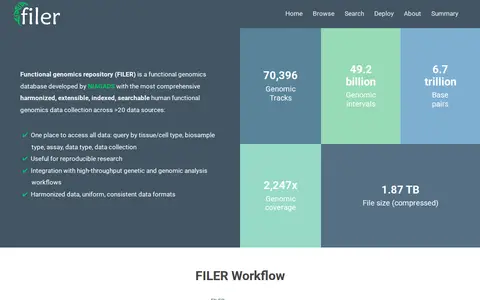
FILER is a repository for human functional genomics data. It supports searching by genomic coordinates, uploading and analyzing data, browsing datasets and annotations, and deploying the software on a local server or cloud instance. External users may freely download, analyze and publish results based on FILER data.

The Flanders Marine Institute (VLIZ) is an organization that works on science-based knowledge and sustainable use of coasts, seas and oceans. It coordinates the Surface Ocean CO2 Atlas and participates in the ICOS research infrastructure. It offers annual memberships for individuals, families, students and institutions, with fees supporting marine research.

Geolocation OSINT tool for collecting location clues from social media and online sources.

GeoNames is a geographical database covering all countries, containing over eleven million placenames available for free download. It provides REST web services for accessing geographical data, with both free and premium service tiers, including data on elevation, country codes, and postal codes.

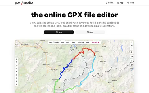
GPX Studio edits, merges, cleans, and visualizes GPS tracks and route files in the browser.

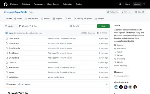
GreatCircle is a concise collection of classes for PHP, Python, JavaScript, Ruby, and Go that calculate great circle distance, bearing, and destination from geographic coordinates, hosted in the mwgg/GreatCircle GitHub repository.

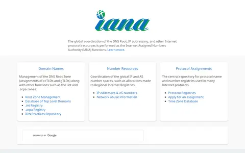
IANA performs the global coordination of the DNS Root, IP addressing, and other Internet protocol resources. It manages the DNS Root Zone, the .int and .arpa registries, and the IDN Practices Repository, and coordinates global IP and AS number spaces. It also maintains protocol name and number registries and a time zone database.

IMPACT is a repository of cybersecurity research datasets and analytics tools, described as freely available and legally collected. It coordinates data and information sharing between academia, industry and government. Access requires a user account, and restricted data requires a Memoranda of Agreement signed with the IMPACT Coordinating Center.

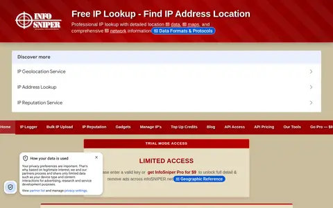
InfoSniper is a free IP address lookup service that locates an IP on an interactive map with city, region, country, ISP, ASN, timezone and coordinates, supporting IPv4 and IPv6. It also offers XML and JSON REST APIs requiring an API key for IP geolocation data.
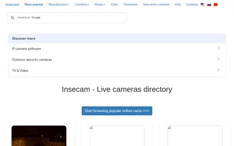
Insecam is a directory of online surveillance security cameras accessible without passwords. It only lists filtered cameras to avoid invading private life, allows removal of listed cameras via email request or by setting a password on the camera, provides approximate city-level coordinates for listed cameras, and recommends the Mozilla Firefox browser for viewing.

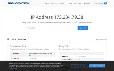
IP2Location provides a free IP lookup demo that reports geolocation and proxy data for an IP address. Results include country, region, city, coordinates, ISP, usage type, ASN, and proxy status. The demo uses the IP2Location DB26 geolocation database and IP2Proxy PX12 proxy database, and also shows an IP geolocation API response.

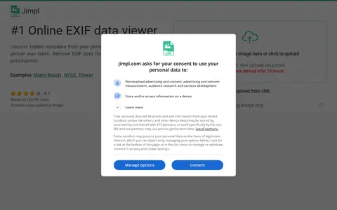
Jimpl is an online EXIF metadata viewer for photos and images. Users upload a photo, view recorded metadata such as date, time, camera settings and GPS coordinates, and can download the photo with EXIF data removed. Uploads are limited to 50 MB and photos are deleted after 24 hours.

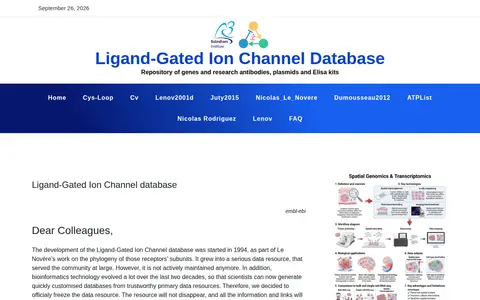
The Ligand-Gated Ion Channel Database holds nucleic and proteic sequences of ligand-gated ion channel subunits, one entry per gene, manually constructed and checked. It offers multiple sequence alignments, some phylogenetic studies, and atomic coordinates when available. Development began in 1994 and the resource is now officially frozen; the data and links remain but it is not actively maintained or considered up to date.

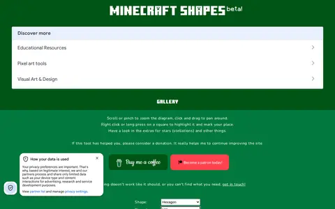
MinecraftShapes.com is a browser tool for making shapes from pixels, aimed at Minecraft building. It generates regular polygons, lines, circles and ellipses, with options for rotation, diameter and coordinates, plus stellations in an extras section and a gallery of builds.