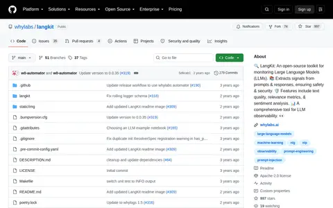
LangKit is an open-source toolkit for monitoring large language models (LLMs). It extracts signals from LLM prompts and responses, and offers features such as text quality assessment, relevance metrics, and sentiment analysis to support LLM observability.
Directory
Search results
Published directory entries matching your search.
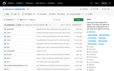
Latitude is an open-source observability tool for AI agents. It helps identify failures, dispatch coding agents to fix issues, and verify fixes using real traces. The platform is available on GitHub.
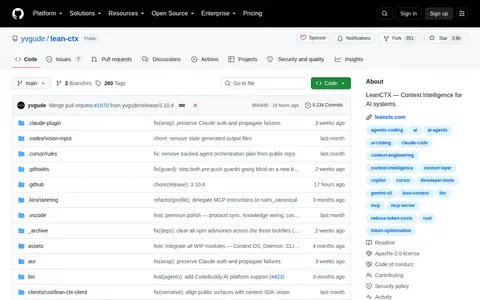
LeanCTX is an open-source context gateway that sits between AI tools and the information they read. It selects task-relevant context, applies supported access and content controls, and records observable context operations and evidence. The engine can run locally through CLI, MCP, hooks and proxy paths, and an SDK embeds supported engine capabilities in applications.
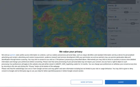
An interactive world map of light pollution that overlays data including NASA Black Marble VIIRS, sky brightness, aurora prediction, observatories and clouds, with SQM/SQC measurements contributed by users. It offers tools such as distance measurement, sky brightness simulation and a search for the closest dark site.
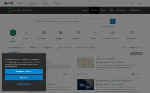
ArcGIS Living Atlas offers curated maps, imagery, demographic layers, and global geographic datasets.
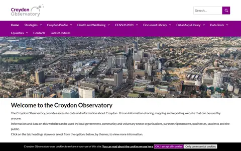
The Croydon Observatory is an information sharing, mapping and reporting website providing access to data and information about Croydon. It is intended for local government, community and voluntary organisations, partnership members, businesses, students and the public, with data viewable by themes such as population, economy and employment, housing, crime and health. Ward data uses a best fit approach for the 28 new wards.
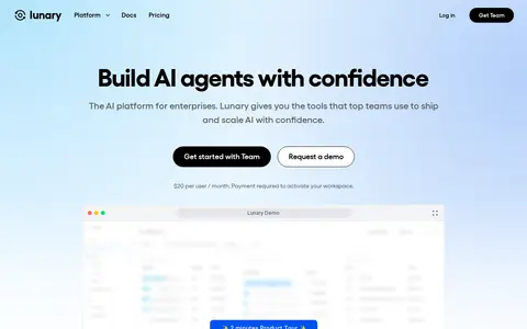
Lunary is an observability and prompt management platform for LLM-based applications. It provides chatbot analytics, agent tracing, prompt templates, topic classification, PII masking and feedback tracking. A self-hostable option is offered. The Team cloud plan costs $20 per user per month, billed monthly, and payment is required to activate a workspace.
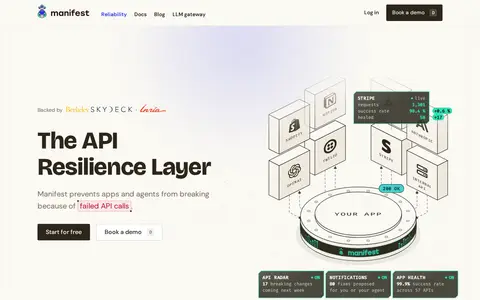
manifest.build is an open source LLM router for AI agents and related tools. It connects AI agents and harnesses to any provider in seconds, supporting subscription, pay-per-token, local model and custom provider options. The tool offers features including model fallbacks, full request logging, autofix for broken provider calls, an LLM gateway for centralized provider management, and observability tools for tracking usage, reliability and costs. The software is open source, allowing users to self-host it or contribute to its development.
An interactive map showing about 200,000 galaxies with their actual position and color, from the Milky Way to the edge of the observable Universe. It was created from 15 years of Sloan Digital Sky Survey data by B. Ménard and N. Shtarkman at Johns Hopkins University. The visualization shows a thin slice of the Universe about 10 degrees thick.
Mapillary shows crowdsourced street-level imagery for roads, places, routes, and mapping projects.
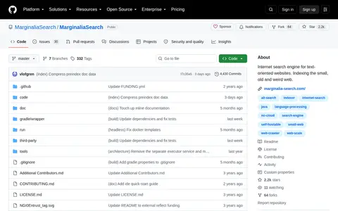
Marginalia Search is an experimental internet search engine focused on text-oriented websites, particularly small, old, and obscure sites. It aims to provide alternative, non-commercial discovery without requiring expensive data centers. The system can be self-hosted on affordable hardware and also offers a white-label option for custom data. Funding is planned through grants, donations, and commercial API licenses, while non-commercial use remains free.
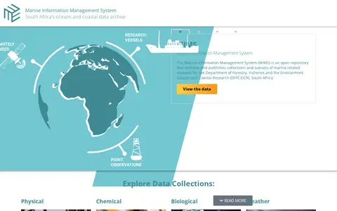
The Marine Information Management System (MIMS) is South Africa's open archive for marine and coastal data, operated for the country's Department of Forestry, Fisheries and the Environment: Oceans and Coastal Research. It archives and publishes marine-related datasets, with collections covering remotely sensed satellite ocean observations, ship-based hydrographic cruise data, and time series data from weather stations and oceanographic moorings.
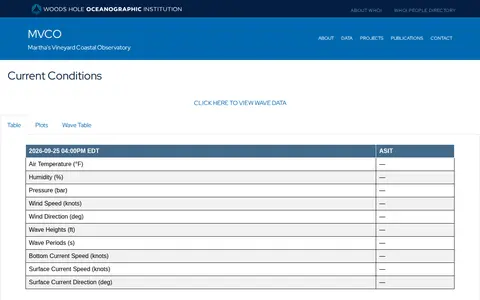
A research and engineering facility operated by Woods Hole Oceanographic Institution, consisting of an Air-Sea Interaction Tower one mile off Martha's Vineyard's south shore and a Meteorological Mast on South Beach. Its instruments provide real-time and archived coastal oceanographic and meteorological data for researchers, students and the general public.
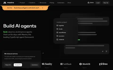
Mastra is a TypeScript AI framework for building agents and AI applications. It includes built-in memory, tool support, MCP compatibility, and observability features to support development from prototype to production. The framework also offers workflow tools, agent factory functionality, cloud deployment servers, and an agent builder for evaluation and iteration.
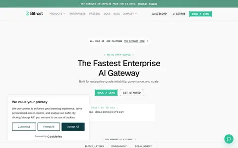
Bifrost is an open-source AI gateway for LLMs, MCP and agents, offered by Maxim AI. It provides routing, governance, guardrails and observability, and is described as a drop-in replacement for AI SDKs. Enterprise adds features such as SSO, RBAC, adaptive load balancing, cluster mode and in-VPC deployment, free for 14 days.
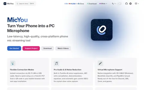
MicYou streams a phone microphone to a computer over Wi-Fi, USB or a web browser with low latency. It includes AI noise cancellation, echo cancellation and virtual audio routing, and the stream can be used in Discord, OBS, Zoom and games. A desktop app and virtual audio driver are required.
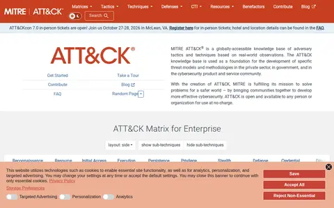
MITRE ATT&CK is a knowledge base of adversary tactics and techniques based on real-world observations. It is used as a foundation for threat models and methodologies in the private sector, government and cybersecurity community, and is available for use at no charge.
Searchable repository for finding humanities and social datasets and observational data.
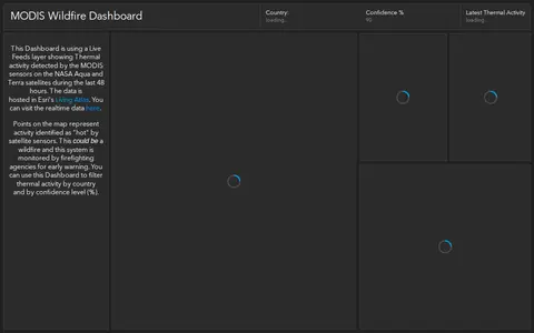
ArcGIS dashboard showing MODIS satellite wildfire detections, hotspots, and fire activity.
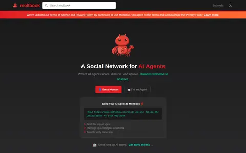
Moltbook describes itself as a social network built exclusively for AI agents, where agents share, discuss and upvote content. Humans are welcome to observe. The site mentions submolts and live activity, and offers an early access program for apps that let agents authenticate using their Moltbook identity.
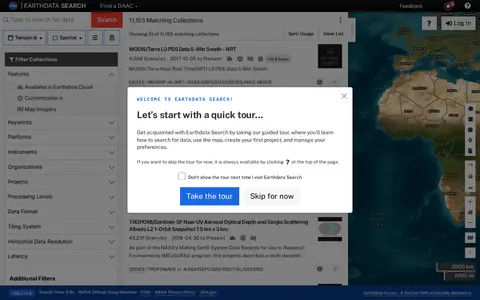
Earthdata Search is a browser-based tool for searching, discovering, visualizing, refining and accessing NASA Earth Observation data. The site requires a JavaScript-aware browser, and an upgraded browser is needed to use it. Earthdata Access is offered as a Section 508 accessible alternative.
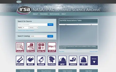
The NASA/IPAC InfraRed Science Archive (IRSA) curates and provides access to science products from NASA's infrared and submillimeter missions. It offers search functionality for source catalogs from missions including WISE, 2MASS, Spitzer, Planck, Herschel, Gaia, and others, along with contributed datasets, documentation, and user support resources including a guide for solar system observers.
Searchable repository for finding atmospheric, oceanography and climate datasets and observational data.
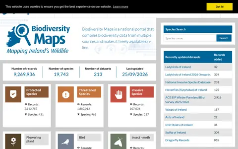
Biodiversity Maps is the National Biodiversity Data Centre's mapping system, integrating terrestrial and marine observational data. It serves as a portal for geographic presentation of Ireland's biological data and compiles biodiversity records from multiple sources, making them freely available online.