Directory

Search results

Published directory entries matching your search.

Search results

222 listings
gisdata.northlanarkshire.gov.uk

An ArcGIS Hub open data portal for North Lanarkshire Council. It offers data discovery, analysis and download in formats including CSV, KML, Zip, GeoJSON, GeoTIFF and PNG, with API links for GeoServices, WMS and WFS. Users can analyze data with charts and thematic maps and create StoryMaps and Web Maps.

Dataset & Data Search 0

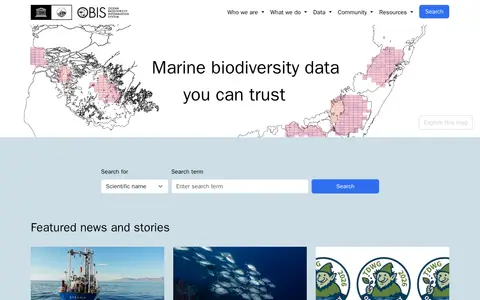
The Ocean Biodiversity Information System (OBIS) is a platform focused on marine biodiversity data. It provides tools including a data mapper, API, and community resources for accessing, contributing to, and quality-controlling datasets. OBIS coordinates global collection, aggregation, and sharing of marine biodiversity data, and shares data with global biogeographic information systems.

Dataset & Data Search 0
Preview unavailable
offshoreleaks.icij.org

The ICIJ Offshore Leaks Database contains information on more than 810,000 offshore entities from the Pandora Papers, Paradise Papers, Bahamas Leaks, Panama Papers and Offshore Leaks investigations. Records cover more than 80 years up to 2020. A Reconciliation API matches user data against database entities.

Search Engines & Tools 0
omniroute.online

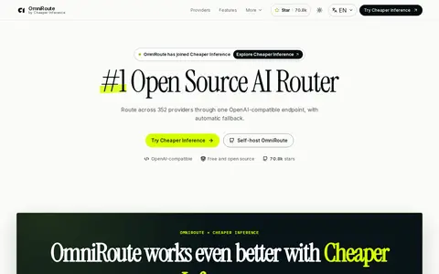
OmniRoute by Cheaper Inference is an open-source AI router that routes requests across providers through one OpenAI-compatible endpoint, with automatic fallback. It accepts OpenAI, Claude, Gemini and Responses API requests at /v1 and ships as a self-hosted gateway with a local dashboard. The catalog covers chat, media, search, local runtimes and cloud agents.

APIs & Databases 0
opendata.dc.gov

Open Data DC is a District of Columbia government site that shares hundreds of datasets. Users can browse the data, download it as a file, analyze it with their own tools, or build apps using the site's APIs.

Dataset & Data Search 0
gishub-kilgore.hub.arcgis.com

Open Data for Kilgore, also known as Kilgore GIS Hub, provides geospatial data for download in formats like CSV, KML, Zip, GeoJSON, GeoTIFF, and PNG. It offers API links for GeoServices, WMS, and WFS, and supports analysis with charts and thematic maps, as well as creation of StoryMaps and Web Maps.

Dataset & Data Search 0
mol-ljubljana.hub.arcgis.com

Open data of the City municipality of Ljubljana is a public data portal for the City Municipality of Ljubljana. It enables users to discover, analyze and download datasets in formats including CSV, KML, Zip, GeoJSON, GeoTIFF and PNG. The portal offers API links for GeoServices, WMS and WFS, supports analysis with charts and thematic maps, and allows creation of StoryMaps and Web Maps.

Dataset & Data Search 0
avaandmed.tallinn.ee

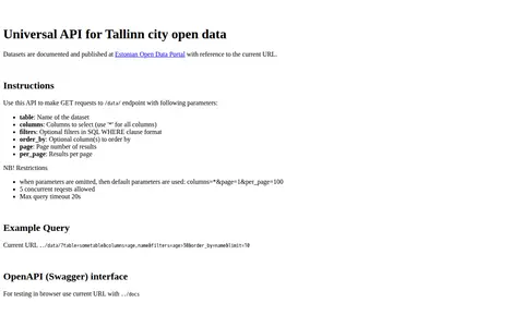
Open Data Tallinn provides a universal API for Tallinn city open data, documented on the Estonian Open Data Portal. It accepts GET requests to a data endpoint with table, column, filter, ordering and paging parameters. Defaults apply when parameters are omitted, with five concurrent requests allowed and a maximum query timeout of 20 seconds. An OpenAPI interface is provided.

Dataset & Data Search 0
openlibrary.org

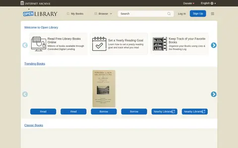
Open Library is an open, editable library catalog building toward a web page for every book ever published. Users can read, borrow and discover more than 3M books for free, and contribute corrections and new information like Wikipedia. It also provides APIs for book discovery and lookup services.

Ebooks & Digital Libraries 0
open.penticton.ca

Open Penticton is a public data platform that allows users to discover, analyze and download datasets. Available download formats include CSV, KML, Zip, GeoJSON, GeoTIFF and PNG. The platform provides API links for GeoServices, WMS and WFS, and supports creating charts, thematic maps, StoryMaps and Web Maps.

Dataset & Data Search 0
unstats-undesa.opendata.arcgis.com

Open SDG Data Hub is an ArcGIS Hub platform focused on dataset discovery and access. It allows users to discover, analyze and download data in formats including CSV, KML, Zip, GeoJSON, GeoTIFF and PNG. The platform provides API links for GeoServices, WMS and WFS, and supports the creation of StoryMaps and Web Maps for data visualization.

Dataset & Data Search 0
open-loiret.opendata.arcgis.com

open-loiret.opendata.arcgis.com is an ArcGIS Hub site that provides access to geospatial datasets. Users can discover, analyze and download data in formats including CSV, KML, Zip, GeoJSON, GeoTIFF and PNG. The site offers API links for GeoServices, WMS and WFS, and supports the creation of StoryMaps and Web Maps.

Dataset & Data Search 0
openaq.org

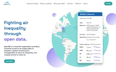
OpenAQ is a nonprofit environmental technology organization that provides open access to ground-level air quality data. It aggregates data from hundreds of sources worldwide and harmonizes them on an open-source platform. Users can access data through a REST API, an interactive map, and the OpenAQ Explorer web application. The platform provides physical measurements rather than aggregated values such as air quality indexes.

Dataset & Data Search 0
ni-lgln-opengeodata.hub.arcgis.com

OpenGeoData.NI, also referred to as OpenGeoData Niedersachsen, is a platform for discovering, analyzing and downloading geospatial data. It offers data downloads in formats including CSV, KML, Zip, GeoJSON, GeoTIFF and PNG, provides API links for GeoServices, WMS and WFS, and supports data analysis and the creation of StoryMaps and web maps.

Dataset & Data Search 0
opentopography.org

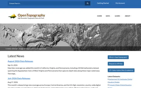
OpenTopography is a platform providing high-resolution topography data and tools, including lidar point clouds, digital elevation models and hillshade imagery. It offers data discovery, programmatic access to raster DEM datasets through a STAC catalog, and a Point Elevation API returning elevation for any location from global and regional datasets.

Dataset & Data Search 0
optuna.org

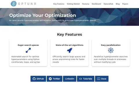
Optuna is an open source automatic hyperparameter optimization software framework designed for machine learning. It provides an imperative, define-by-run style user API with eager search spaces, algorithms that prune unpromising trials, and parallelization of searches over multiple threads or processes without modifying code. It is framework agnostic and can be installed with pip on Python 3.10 or newer.

Models & Machine Learning 0
orionoid.com

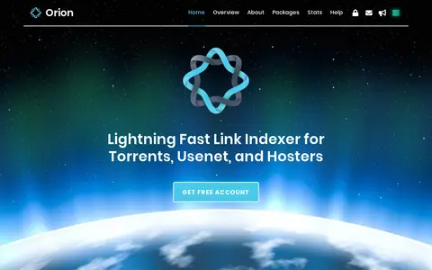
Orion is an indexer and search engine for torrent, usenet, and hoster links. It provides an API integrated into Kodi addons and mobile apps for finding links to movies and TV shows. Orion does not host or distribute files and complements debrid services. The database is community-maintained and offers anonymous cryptocurrency payments.

Usenet 0
osni-spatial-ni.opendata.arcgis.com

ArcGIS Hub site for discovering, analyzing and downloading data. It supports downloads in CSV, KML, Zip, GeoJSON, GeoTIFF and PNG formats, provides API links for GeoServices, WMS and WFS, and offers analysis with charts and thematic maps.

Dataset & Data Search 0
ottawa-riverkeeper-open-data-ork-so.hub.arcgis.com

An ArcGIS Hub open data portal from Ottawa Riverkeeper for discovering, analyzing and downloading data. Data can be downloaded in CSV, KML, Zip, GeoJSON, GeoTIFF or PNG, and API links are provided for GeoServices, WMS and WFS. Analysis is available through charts and thematic maps, with options to create StoryMaps and Web Maps.
Dataset & Data Search 0
papra.app

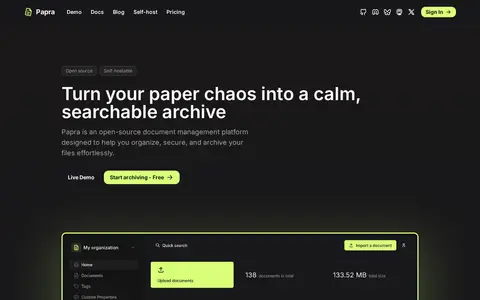
Papra is an open-source document archiving platform for organizing, securing and archiving documents. It offers organizations, document tagging, search, a developer API, webhooks, CLI and SDK, plus email ingestion that imports attachments. The project is available on GitHub under the AGPL-3.0 license and can be self-hosted. Paid plans add storage, members and intake email addresses.

Text & Writing Tools 0
data.portmoody.ca

The City of Port Moody's open data portal lets users discover, analyze and download city data. Data can be downloaded in formats including CSV, KML, Zip, GeoJSON, GeoTIFF and PNG. API links are provided for GeoServices, WMS and WFS, and users can analyze data with charts and thematic maps.

Dataset & Data Search 0

A portal for discovering, analyzing and downloading data from Prince Edward Island Open Data. The data can be downloaded in formats including CSV, KML, Zip, GeoJSON, GeoTIFF and PNG. API links are provided for GeoServices, WMS and WFS, and the data can be analyzed with charts, thematic maps, StoryMaps and Web Maps.

Dataset & Data Search 0
Preview unavailable
prophy.ai

Prophy is an AI expert-identification platform for research funding and scientific publishing. It provides referee finding, panel composition, peer reports and institutional reports, drawing on a database of 199 million articles and 103 million researcher profiles. An API allows integration of referee-finding capabilities into other systems.

News Search 0
pulsedive.com

Pulsedive is a free threat intelligence platform for searching, scanning and enriching IPs, URLs, domains and other IOCs from OSINT feeds or submitted data. It supports on-demand passive or active scans and a query language for pivoting across indicators and threats, with export options. Paid tiers are listed for non-commercial and commercial use, including API and feed access.

Security Tools & Toolkits 0