




mg-rast.org
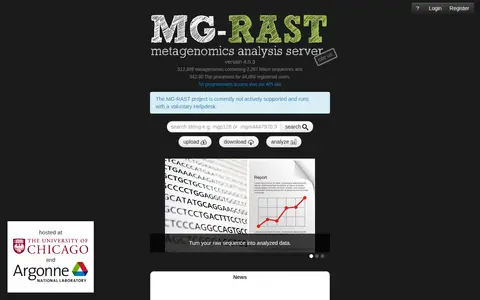
MG-RAST is an open source, open submission web application server that suggests automatic phylogenetic and functional analysis of metagenomes. It is also one of the biggest repositories for metagenomic data. Users can turn raw sequence into analyzed data and deposit metagenomic data for public reference.