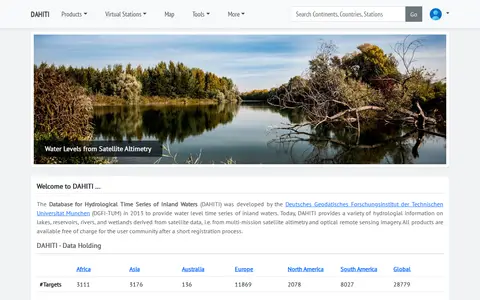
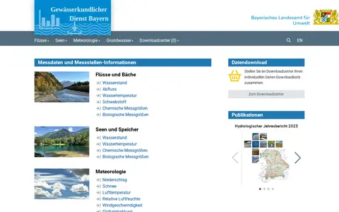
The Database for Hydrological Time Series of Inland Waters (DAHITI) was developed in 2013 by DGFI-TUM. It provides hydrological information on lakes, reservoirs, rivers and wetlands derived from satellite altimetry and optical remote sensing imagery. Products are available free of charge after a short registration process.
Port Moody's Open Data Portal
The City of Port Moody's open data portal lets users discover, analyze and download city data. Data can be downloaded in formats including CSV, KML, Zip, GeoJSON, GeoTIFF and PNG. API links are provided for GeoServices, WMS and WFS, and users can analyze data with charts and thematic maps.
Features
- Download in CSV, KML, Zip, GeoJSON, GeoTIFF or PNG Source: data.portmoody.ca
- Analyze with charts and thematic maps Source: data.portmoody.ca
Links
Tags
-
0The Database for Hydrological Time Series of Inland Waters (DAHITI) was developed in 2013 by DGFI-TUM. It provides hydrological information on lakes, reservoirs, rivers and wetlands derived from satellite altimetry and optical remote sensing imagery. Products are available free of charge after a short registration process.
-
0
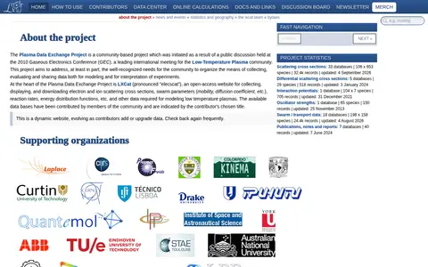
LXCat is an open-access website of the Plasma Data Exchange Project for collecting, displaying and downloading data needed to model low-temperature plasmas. It holds community-contributed databases on scattering cross sections, swarm parameters, interaction potentials, oscillator strengths and publications.
-
0Search a government or civic data catalog for reusable public information.
-
0
GeoCommons Archive is a community-contributed collection of open data from around the world, often sourced from public and open government websites. The searchable archive holds over 150,000 datasets as GeoJSON stored in GitHub, available to preview, download or explore in ArcGIS.com.
-
0
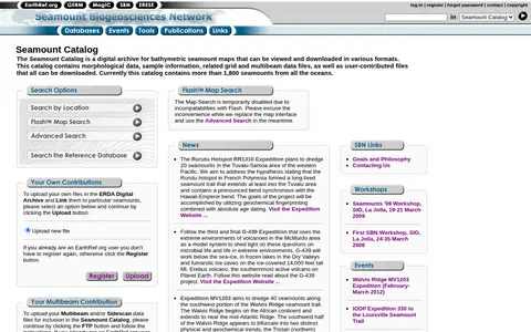
The Seamount Catalog is a digital archive of bathymetric seamount maps that can be viewed and downloaded in various formats. It holds morphological data, sample information, and related grid and multibeam data files, plus user-contributed files, all downloadable. The catalog currently covers more than 1,800 seamounts from all oceans.
-
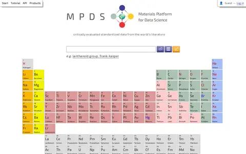
0MPDS (Materials Platform for Data Science) is an online materials database originating from the PAULING FILE project, containing over 3 million entries of physical properties, crystal structures, and phase diagrams for inorganic materials. It offers multiple access tiers: free open access with login includes search by over 15 criteria, analysis tools, interactive plots, and access to around 50k datasheets; paid full GUI access adds detailed visualizations, data export in over 5 formats, high-quality redrawn phase diagrams, and access to around 3 million datasheets with full references and DOIs; paid API full access provides machine-readable data, regular updates, documentation and support, and OPTIMADE standard support, and includes full GUI access.
Community notes
Reviews and discussion
No reviews yet
Be the first to share how this project worked for you.
Join the discussion
Sign in with a verified account to leave a review or join the discussion.
Sign in to review