





dataverse.telkomuniversity.ac.id
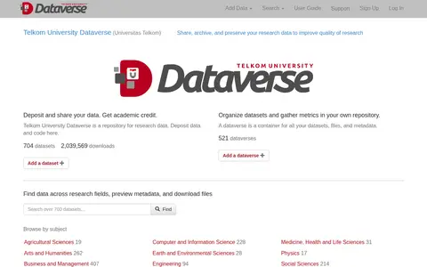
Telkom University Dataverse is a repository for research data where members deposit and share datasets and code. It provides dataverses as containers for datasets, files and metadata, supports browsing by subject, and displays dataset and download metrics.