bostonopendata-boston.opendata.arcgis.com
Public data portal for browsing datasets from Boston, MA.
Directory
Published directory entries matching your search.
Public data portal for browsing datasets from Boston, MA.

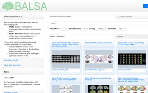
BALSA hosts extensively analyzed neuroimaging and neuroanatomical datasets mapped to brain atlas surfaces and volumes. It holds user-submitted BALSA Studies tied to published figures and curated BALSA Reference datasets, with scene files displayable in the Connectome Workbench platform. Study and reference datasets can contain several scene files with multiple scenes. Previews of scene thumbnails and downloads without release constraints do not require login.

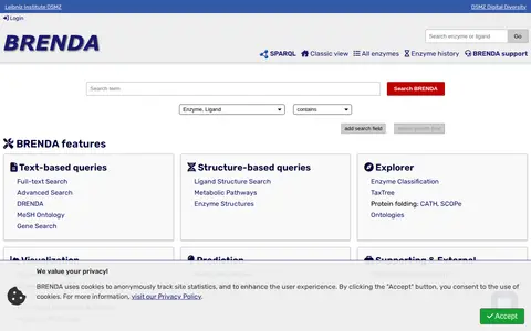
BRENDA is a comprehensive enzyme information system offering text-based and structure-based queries, an EC explorer, visualization, and prediction tools. It includes enzyme summary pages, ligand and tissue ontology searches, taxonomy and genome browsing, and pathway maps. The online version is free under the CC BY 4.0 license.

BrightLocal is a local SEO software platform with tools described as helping users monitor, audit and improve local SEO. Its stated functions include tracking local rankings, auditing citations, auditing local SEO, and managing and building business listings. A 14-day free trial is offered.

The British Antarctic Survey data service provides access to polar datasets covering long-term environmental, biological, geological, and meteorological data, as well as specimens, maps, and photographs. It operates interfaces and portals including the UK Polar Data Centre metadata catalogue for searching polar datasets held by the centre.

Broadcastify's browse page lists live audio feeds from around the world, organized by country and by state within the United States. It reports 7,292 live audio feeds, including country totals and feed counts for each state.

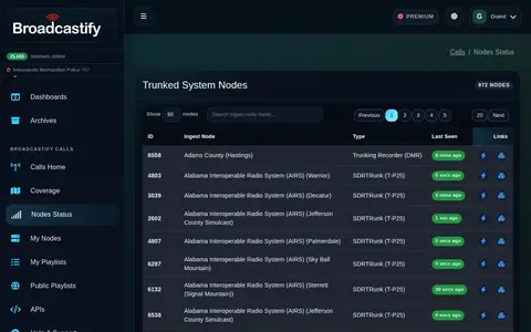
Broadcastify Calls status page showing node availability and live feed system activity.

CanWIN is the data centre for the Centre for Earth Observation Science at the University of Manitoba. The repository holds datasets, projects and publications on watershed, freshwater, marine and atmospheric topics, searchable by theme or map, and supports data discovery, submission and download.
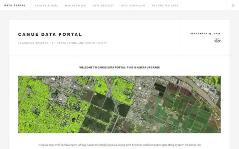
The CANUE Data Portal is a product of the Canadian Urban Environmental Health Research Consortium for research on urban living and human health. The portal is described as a beta upgrade and offers a map browser, data request, data download and restricted area; users are asked to report issues to [email protected].

The Cell Centered Database is an archived UC San Diego Library digital collection of high resolution 2D, 3D and 4D data from light and electron microscopy of tissues from the nervous system and other systems. It provides raw data, reconstructions and segmented data for download, plus 2D images, animations and image maps for online visualization.
This is the City of Courtry's open data portal, hosted on ArcGIS Hub. It allows users to discover, analyze and download available datasets in formats including CSV, KML, Zip, GeoJSON, GeoTIFF and PNG. It also provides API links for GeoServices, WMS and WFS, and supports creating StoryMaps and Web Maps.
The City of Peterborough Open Data Portal is the central hub for the city's GIS Open Data. It provides access to GIS datasets, printed maps, web mapping applications, and GIS applications.

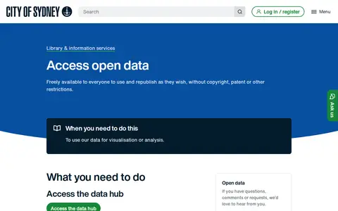
The City of Sydney provides an open data hub where datasets can be browsed and downloaded as spreadsheets, KML or shapefiles. Maps can be created to visualise and analyse trends, and data can be accessed programmatically through the ArcGIS API for JavaScript. The data is freely available to everyone to use and republish without copyright, patent or other restrictions.

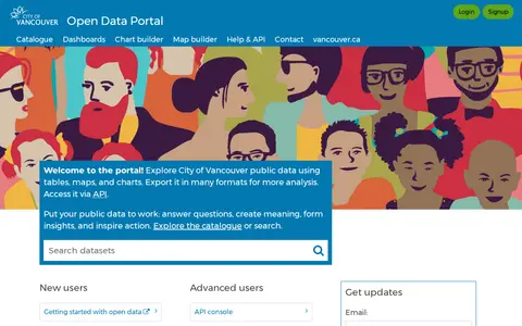
The City of Vancouver Open Data Portal provides public access to datasets from the City of Vancouver, British Columbia, Canada. Users can download data in multiple formats, explore data using charts and maps, and access data via API. The portal also includes a dataset catalogue, dashboards, chart and map building tools, help resources and contact information.

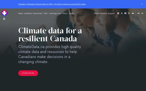
ClimateData.ca provides climate data and resources intended to support decisions in a changing climate. The site offers maps and graphs for creating and downloading data visualizations, a searchable catalogue of 125 datasets, and on-demand processing to tailor datasets using custom thresholds and time periods. It also includes a Learning Zone and newsletters about updates.

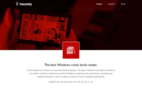
Cover is a comic book reader and library management application for Windows. It maps a library to folders on local storage, a local network or cloud services and updates automatically when comics are added or removed. The reader offers layout options including one or two pages, manga mode and infinite scroll, and the app supports several comic and archive file formats.
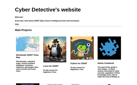
Website about open source intelligence tools and techniques. It hosts projects including a worldwide OSINT tools map, cheat sheets, a dorks collections list, an APIs collection, and courses on Linux and Python for OSINT.

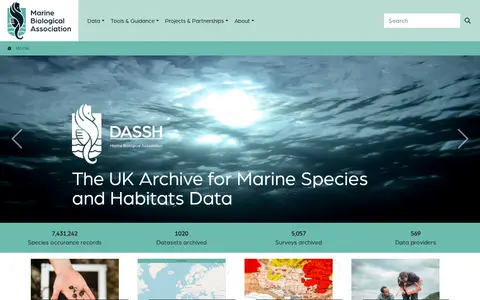
DASSH is a data archive that holds marine species occurrence records, archived datasets and archived surveys. It provides a data mapper for searching data, data access and tools, a citizen science hub, and a route for data providers to submit data.

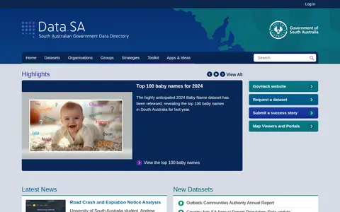
Data.SA is a South Australian government portal that presents open datasets such as the top 100 baby names and COVID-19 information. It also offers dataset requests, success stories, and map viewers, and notes that Land Services SA provides land titling, valuation, and cadastral data access.
ArcGIS Hub site for Bourgesplus data allows users to discover, analyze, and download datasets in formats including CSV, KML, Zip, GeoJSON, GeoTIFF, and PNG. It provides API links for GeoServices, WMS, and WFS, and supports creation of StoryMaps and Web Maps for data visualization.

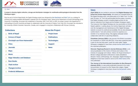
Digital Himalaya is a digital archive of multimedia ethnographic information from the Himalayan region, including Nepal, Tibet and India. It was designed to develop digital collection, storage and distribution strategies for multimedia anthropological information and holds collections such as journals, maps, music and films. It is now part of the Archive Nepal family.
DigitalGlobe discovery tools help explore satellite imagery, geospatial data, and earth observation resources.
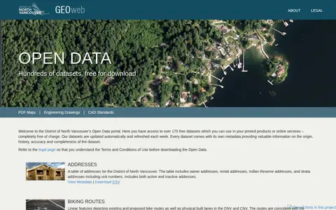
The District of North Vancouver’s Open Data portal, known as GEOweb, is the district's GIS website. It provides public access to mapping, land, environmental, zoning, building and other information stored in the district's geographic information system via an intuitive interface designed to inform and empower users.
Open data portal depending on ArcGIS.