Directory

Search results

Published directory entries matching your search.

Search results

357 listings
organicmaps.app

A free, open-source, privacy-focused offline maps and GPS app for hiking, cycling, biking and driving, powered by OpenStreetMap data. It offers detailed offline maps, cycling routes, hiking trails and walking paths, turn-by-turn navigation with voice guidance, and offline search on downloaded maps. The app is developed by the open-source community and the creators of MapsWithMe/Maps.Me.


Maps & Navigation 0
Preview unavailable
syria.liveuamap.com

Liveuamap page presenting Syrian Civil War news on an interactive map in English, covering the civil war, international intervention and terrorism in Syria. The site offers news, live updates and a map, and offers an ad-free option from $8 per month.

Maps & Navigation 0

The Perry-Castañeda Library Map Collection is a holdings collection hosted as part of the University of Texas Libraries GeoData platform. The collection includes thousands of maps, including military topographic maps of regions across Europe, Asia and other areas. Individual map entries include details such as scale, map type and descriptive notes about map series, including information about how relief is represented on the maps.

Academic & Research Search 0
Preview unavailable
arcgis.com

ArcGIS wildfire map visualizes fire activity, boundaries, incidents, and related geographic layers.

Maps & Navigation 0
Preview unavailable
coronavirus.jhu.edu

Johns Hopkins COVID-19 map visualizes cases, deaths, trends, and outbreak data by location.

Maps & Navigation 0
davidrumsey.com

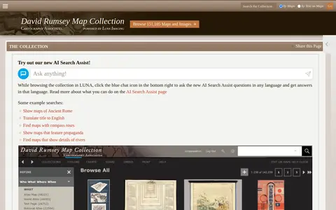
Online historical map collection with over 151,000 maps and related images, including rare 16th through 21st century maps of continents and regions. The searchable database includes the LUNA Viewer and an AI Search Assist. A physical collection is hosted at the David Rumsey Map Center at Stanford University Library.

Maps & Navigation 0
data.apps.fao.org

FAO map catalog for searching agriculture, land, food, and environmental geospatial datasets.

Geolocation Tools 0
Preview unavailable

A live map showing London Underground trains as yellow dots in approximately real time, built by Matthew Somerville. Live departure data is fetched from the TfL API. Schematic and Skyfall versions are also offered. It was originally built at Science Hackday in June 2010.

Maps & Navigation 0
Preview unavailable
live-action-map.com

Live action map for tracking conflict, incidents, and breaking events by location.

Maps & Navigation 0
opengov.mapleridge.ca

The Maple Ridge Open Government Portal is the City of Maple Ridge's open data platform. It hosts mapping data and applications intended to provide residents with easier access to information relevant to life in Maple Ridge.

Dataset & Data Search 0
map.orhyginal.fr

A map interface built on OpenStreetMap that collects external cartographic tools and links them with automatic positioning on the current map extent. It offers a layers catalog for base layers and overlays, location search, and panes for StreetView images and webcams. Filters cover recently added links, favorites and tags.

Maps & Navigation 0
Preview unavailable
liveuamap.com

Liveuamap is an independent global news and information site that reports on topics such as conflicts, human rights issues, protests, terrorism, weapons deployment, health matters, natural disasters and weather. It presents news through a map-centric approach and provides open online access to a chronological archive. It was founded in 2014 to inform about the Ukrainian conflict and later expanded to other regions.

Maps & Navigation 0
literature-map.com

Literature-Map helps search books, ebooks, papers, library records, or reading archives.

Book Discovery & Databases 0
mapplee.com

Mapple helps search books, ebooks, papers, library records, or reading archives.

Audiobooks 0

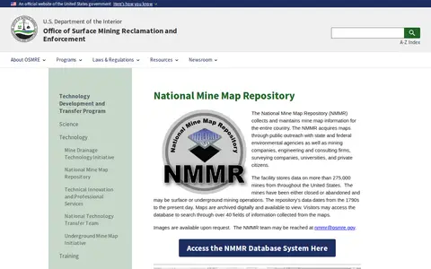
The National Mine Map Repository collects and maintains mine map information for the entire country, storing data on more than 275,000 closed or abandoned mines. It acquires maps from public outreach with agencies, companies, universities and private citizens, and archives them digitally, offering database search across over 40 fields.

Dataset & Data Search 0
openknowledgemaps.org

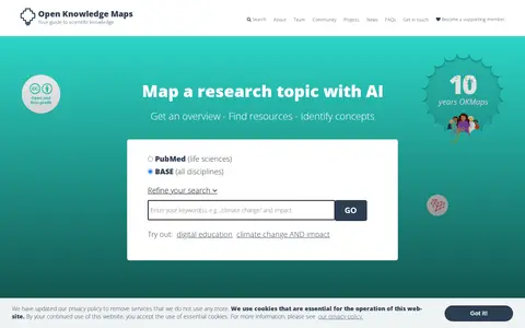
Open Knowledge Maps is a nonprofit, open science AI-based search engine for scientific knowledge. It provides visual overviews of research topics, helps users find relevant research outputs and identify key concepts. The platform searches over 400 million outputs from more than 11,000 sources, with results based solely on underlying metadata to avoid hallucinations.

Academic Papers & Research 0
map.malfrats.industries

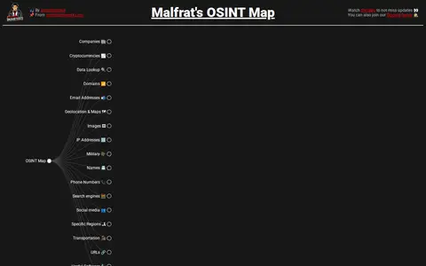
Malfrat's OSINT Map is a web-based tree of open source intelligence tools and methods, presented as an alternative version of osintframework.com. Its legend marks items that require installation, need purchases, are web-based, are guides, lead to .onion sites, are browser extensions, or are offensive-OSINT that might alert the target.

Research & Discovery Tools 0
google.com

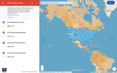
Google map showing active agency locations, activity, or organizational presence by place.

Maps & Navigation 0
comaps.app

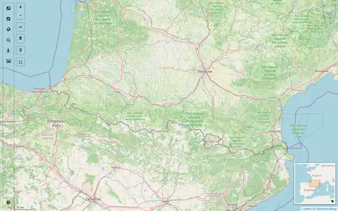
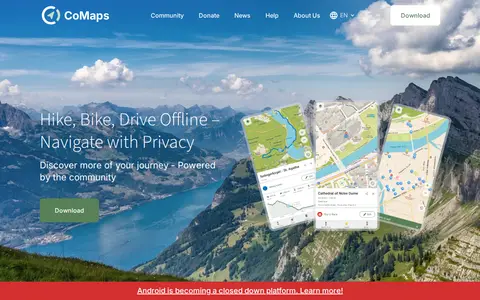
CoMaps is an open-source offline maps app built by a community. It offers offline search, turn-by-turn routing by foot, bike or car, an outdoor mode, and a public transport layer. The app is a fork of Organic Maps and Maps.Me.

Maps & Navigation 0
cpre.org.uk

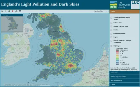
An online map of England's light pollution and dark skies. Users can search by postcode, district or National Character Area, tick boundaries in the legend to display them, and click the map for detailed information about an area. The map uses OpenStreetMap and World Imagery data and was developed by LUC.

Maps & Navigation 0
ev-map.app

EVMap is an Android app for finding electric vehicle chargers, with map data from Google Maps or OpenStreetMap and community-maintained data. It offers place search, advanced filtering options, a favorites list and support for Android Auto and Android Automotive OS. The app is free and without ads.

Android Apps & Tools 0
gnod.com

Gnod is the Global Network of Discovery, a project of Marek Gibney offering discovery tools. Its projects include Discover and the Music-Map for music, plus Literature-Map, Movie-Map and a product chart. The site also provides a search engine comparison. It uses AI to suggest bands, art, authors and movies.

Music Discovery & Databases 0
lightpollutionmap.info

An interactive world map of light pollution that overlays data including NASA Black Marble VIIRS, sky brightness, aurora prediction, observatories and clouds, with SQM/SQC measurements contributed by users. It offers tools such as distance measurement, sky brightness simulation and a search for the closest dark site.

Maps & Navigation 0

The Sloan Digital Sky Survey-V is a spectroscopic survey providing multi-epoch optical and infrared spectroscopy across the entire sky and integral-field coverage of the Milky Way and Local Volume galaxies. Its DR20 data release contains spectra and data products from the Black Hole Mapper and Milky Way Mapper, plus Local Volume Mapper preview tiles. Previous SDSS-I-IV data releases remain available.

Dataset & Data Search 0