The City of Surrey Open Data Catalog is a portal for discovering, analyzing and downloading municipal data. Data can be downloaded in formats including CSV, KML, Zip, GeoJSON, GeoTIFF and PNG, and API links are provided for GeoServices, WMS and WFS. Analysis is possible through charts and thematic maps, and StoryMaps and Web Maps can be created.

Directory
Search results
Published directory entries matching your search.
CO Open Data is a data hub for discovering, analyzing and downloading data. Datasets can be downloaded in CSV, KML, Zip, GeoJSON, GeoTIFF or PNG, and API links are provided for GeoServices, WMS and WFS. It supports analysis with charts and thematic maps and creation of StoryMaps and Web Maps.
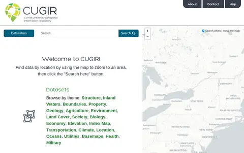
CUGIR is a repository offering datasets and scanned maps. Datasets can be browsed by theme or found by zooming a map to an area and clicking a search button. Themes include boundaries, geology, agriculture, land cover, transportation, climate and elevation. The scanned maps section provides access to all map holdings.
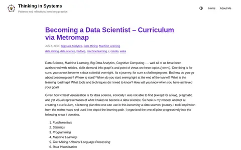
A blog post presenting a learning curriculum for becoming a data scientist, visualized as a metro map. The overall plan is organized progressively into areas or domains, each represented as a metro line with stations depicting topics.
This page is the creations list of Mario Kart PC, a free online Mario Kart game. It presents circuits and courses shared by the Mario Kart PC community. Players can share their own circuit creations via a "Share circuit" button at the bottom-left of the circuit page.
CyberSeek provides interactive tools and data intended to close the cybersecurity talent gap. It offers a Workforce Map of local demand and supply, a Career Pathway Dashboard covering salaries, credentials and skillsets, and an Education and Training Providers Map for finding nearby educators or training centers. It also publishes metrics on cybersecurity hiring and job openings.
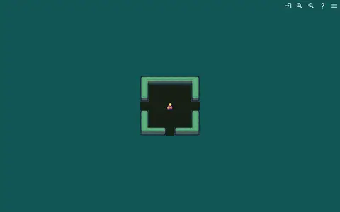
DailyDungeon is a geography or map-based game resource for exploring places, clues, or location challenges.
ArcGIS Hub is a platform for discovering, analyzing and downloading data. Data can be downloaded in formats including CSV, KML, Zip, GeoJSON, GeoTIFF and PNG, and API links are provided for GeoServices, WMS and WFS. Users can analyze data with charts and thematic maps, and create StoryMaps and Web Maps.
Website for map-based access to spatial information, developed by Data61 CSIRO and Geoscience Australia.
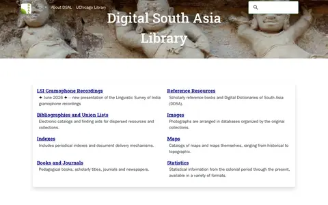
The Digital South Asia Library offers dictionaries, gazetteers, photographs, prints, drawings, maps, statistics, bibliographies, indexes, books and journals for reference and research concerning South Asia. Its collections cover reference resources, bibliographies, images, maps, books and journals, and statistics from the colonial period onward.
Dolici is a map-based guide to acclaimed restaurants and bars worldwide. It aggregates recognitions from Michelin, World's 50 Best, James Beard and other guides into one place, listing over 110,000 venues across 22 guides. Users can browse a city before traveling or find acclaimed venues nearby. Sign-up is described as free, with a map and options to save and plan.
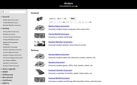
donjon is a collection of random generators for Dungeons & Dragons and other tabletop role-playing games. Generators cover fantasy names, world maps, weather, quests, NPCs, loot, castles, towns, calendars, dungeons, inns and treasure maps, with sections for AD&D, d20/Fantasy, Microlite20, Pathfinder and D&D 4e. It also includes an initiative tracker and calculators.
DrivingSimulator is a 3D driving simulator developed by FrameSynthesis Inc. that operates on Google Maps. It allows users to drive vehicles for activities including safe driving, off-road travel, parking, circuit racing, and global exploration. Steering is controlled via left and right arrow keys, while up and down arrow keys manage forward and reverse movement; mobile devices use a virtual control stick. The project’s development is suspended due to Google Maps API usage costs, the page may cease functioning at any time, and no feature requests will be addressed.
Engaging Data is a virtual workshop and gallery of JavaScript tools, data visualizations, calculators and maps on topics including maps, environment, energy, finance, politics, health and math. A post covers how mask wearing and effectiveness can reduce the coronavirus transmission rate R0; that visualization does not account for vaccines, which the source calls a limitation.
FlockHopper is a free navigation app that provides turn-by-turn directions while routing around more than 140,000 Flock and ALPR cameras mapped by DeFlock volunteers. It includes camera alerts before each mapped camera and offline maps. The app requires no account and does not track users. It does not cover unmapped cameras or mobile readers.
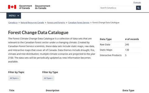
The Forest Climate Change Data Catalogue is a collection of data sets relevant to the Canadian forest sector under a changing climate. Created by Canadian Forest Service scientists, the data sets include static maps, raw data and interactive maps covering all of Canada. Themes include drought, fire, climate and tree distribution, with multiple climate scenarios projected to the year 2100. Data sets are periodically updated as new information becomes available.
FreeGuessr is a geography or map-based game resource for exploring places, clues, or location challenges.
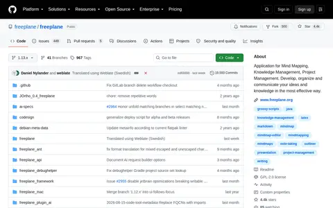
Freeplane is a free and open source Java application for mind mapping, knowledge management and project management. It provides tools for mapping and navigating information, runs on any operating system with a current Java version, and can be installed or run from removable storage. The project is licensed under GPL-2.0 and its downloads are available at Sourceforge.
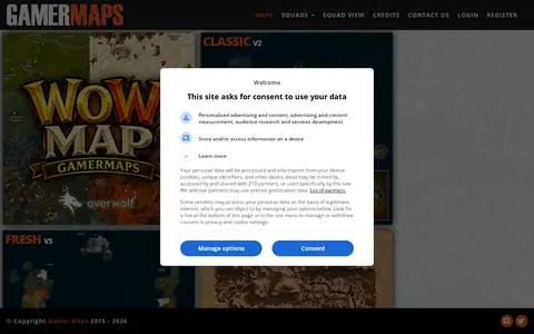
GamerMaps provides detailed interactive maps for PC and console games, with features for loot spawns, vehicle spawns and a building database. The site lists maps for numerous popular games with individual version updates.
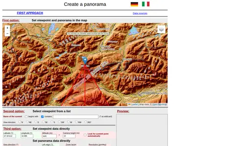
A web tool for creating mountain panoramas and identifying summits. A viewpoint can be set in a map, chosen from a summit list, or entered directly with latitude, longitude, altitude and camera height. View direction, zoom, resolution, tilt, sight range and elevation exaggeration can be set; JavaScript must be permitted.
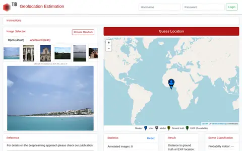
GeoEstimation is a tool for estimating the geolocation of photos. Users select an image from a predefined benchmark test set and click a world map to make a guess. Results are shown as a heat map of likely locations and a visualization of contributing photo parts, alongside scene classification probabilities for indoor, nature and urban settings.
GeoFS is a geography or map-based game resource for exploring places, clues, or location challenges.
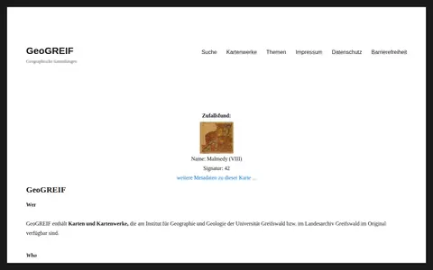
GeoGREIF is a digital collection of maps and map works held in original form at the Institute for Geography and Geology of the University of Greifswald and the Greifswald State Archive. Each recorded map carries Dublin Core metadata to aid discovery, and maps are arranged thematically in collections that institute staff continue to expand.
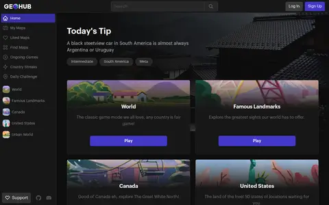
Geohub is a geography or map-based game resource for exploring places, clues, or location challenges.