

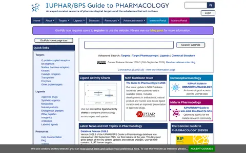

guidetopharmacology.org
An expert-driven guide to pharmacological targets, providing quantitative information on prescription medicines and experimental drugs that act on them. It is a joint initiative of the International Union of Basic and Clinical Pharmacology and the British Pharmacological Society, and is the new home of the IUPHAR Database. Registration is required to use the website.