



picarta.ai
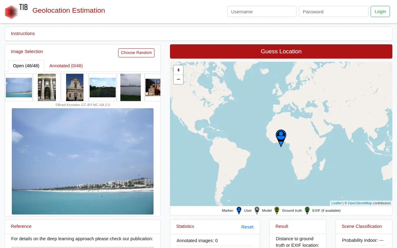
Picarta uses AI to predict where a photo was taken, returning estimated GPS coordinates, city, and country with confidence scores. It analyzes visual clues in the image rather than relying on EXIF metadata or embedded GPS tags. The project offers a web app and an API, with on-premise deployment for enterprise clients.