




data.thm.de
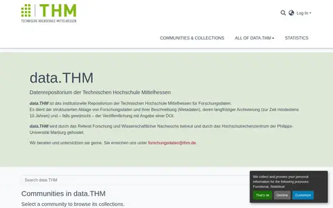
data.THM is the institutional research data repository of the Technische Hochschule Mittelhessen. It provides structured storage of research data and their metadata, long-term archiving, and optional publication with a DOI. The repository is maintained by the Referat Forschung und Wissenschaftlicher Nachwuchs and hosted by the Hochschulrechenzentrum of the Philipps-Universität Marburg.