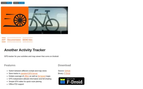

AAT (Another Activity Tracker) is a GPS tracker and map viewer for Android. It stores tracks in GPX format, switches between cockpit and map views, and provides offline and tile-based maps with altitude information and hill shading. It includes a simple GPX editor for route planning and offline POI support.
Directory
Search results
Published directory entries matching your search.
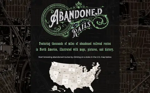
Abandoned Rails is a site featuring maps, pictures and the history of former railway grades across the United States and abandoned railroad routes in North America. Visitors can browse routes by state or by railroad company, and contributions from railfans are accepted by email.
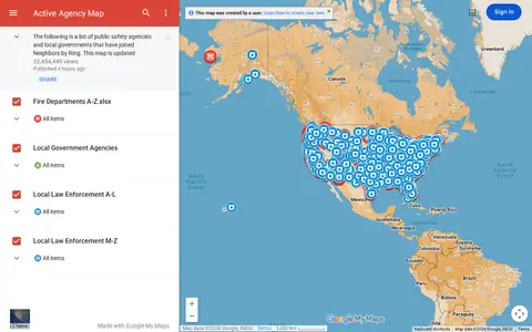
Google map showing active agency locations, activity, or organizational presence by place.
Age of the Ring is a mod for Battle for Middle-earth II: Rise of the Witch King, released in 2017. It adds 11 factions, new heroes and abilities, hundreds of maps, a new campaign and a reworked War of the Ring mode.
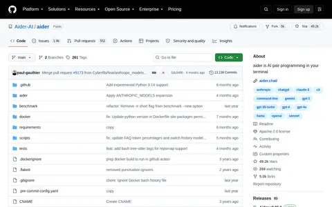
Aider is an AI pair programming tool that runs in the terminal and works with cloud and local LLMs. It maps the codebase, supports more than 100 code languages, and integrates with Git to automatically commit changes. It can also run in an IDE and accept voice-to-code instructions.
Aider is an AI pair programming tool that runs in the terminal. It connects to cloud or local LLMs to start new projects or build on existing codebases, maps the codebase, and works with many programming languages. Changes are committed automatically with git, and aider can lint and test code after edits.
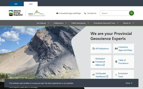
The Alberta Geological Survey is a provincial geoscience body that publishes geological data, maps and reports for Alberta. It offers publications and interactive tools, including the Geothermal Atlas, the Mineral Occurrences dashboard, the Table of Formations and an earthquake dashboard.
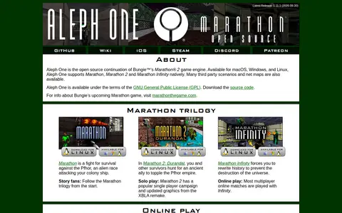
Aleph One is an open source continuation of Bungie's Marathon 2 game engine, available for macOS, Windows and Linux. It supports Marathon, Marathon 2 and Marathon Infinity natively, along with third party scenarios and net maps. Up to 8 players can join multiplayer matches or co-op play, with games hosted peer-to-peer over LAN or the Internet and a global matchmaking lobby.
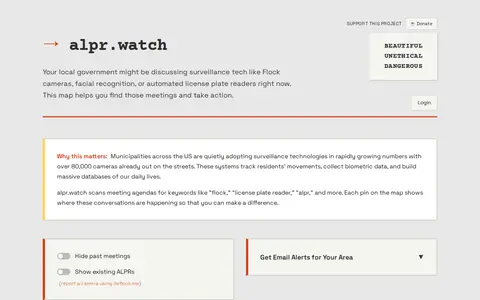
alpr.watch is a project that scans US local government meeting agendas for keywords such as flock, license plate reader and alpr, and maps where surveillance technology discussions are happening. It offers email alerts for a chosen area and a map of meetings and mapped ALPR cameras, and points to groups opposing surveillance.
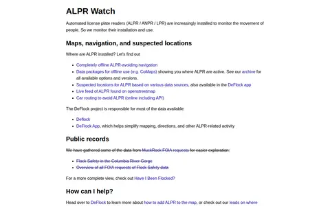
ALPR Watch monitors the installation and use of automated license plate readers (ALPR). It offers maps, offline ALPR-avoiding navigation data packages, and suspected ALPR locations based on various data sources, also available in the DeFlock app.
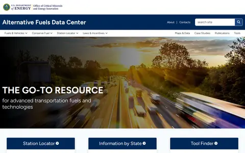
The Alternative Fuels Data Center provides information, data and tools about alternative and renewable fuels and advanced vehicles. It is aimed at fleets, fuel providers, policymakers, cities, states and Clean Cities coalitions. Site resources include a station locator, state information, a tool finder, a vehicle cost calculator and maps of fueling stations.
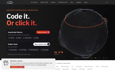
amCharts is a TypeScript library for JavaScript charts, offering 60+ chart types plus maps, stock charts, and Gantt charts. The site states the library is free to use and React-ready. Documentation lists React, Angular, Vue.js, Next.js, and other integrations.
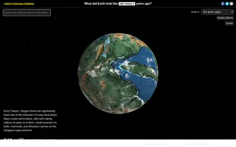
Ancient Earth is a visualization of the globe across 750 million years of Earth's history. Users can search for addresses and step through time periods, viewing paleogeographic maps by C.R. Scotese, with a globe that can be rotated and options to show clouds and the equator.
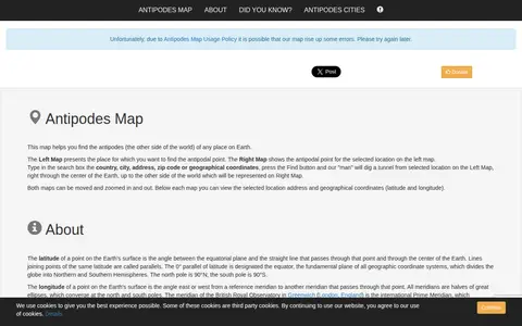
A mapping tool that finds the antipodal point of any place on Earth. Users enter a country, city, address, zip code or coordinates, and the site displays the original location on one map and its diametrically opposite location on another. Both maps can be moved and zoomed, and the address and coordinates are shown below each map.
AnyChart is a JavaScript charting library with an API and documentation. It offers a large number of chart types, and the site lists related products for stock charts, HTML5 maps and Gantt charts. Version 9.0.0 added chart types including arc diagram, dependency wheel, org chart, stream graph, waffle chart, lollipop and dumbbell. The library is described as working with any development stack.
ArcGIS wildfire map visualizes fire activity, boundaries, incidents, and related geographic layers.
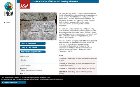
ASMI is the Italian Archive of Historical Earthquake Data, providing access to data on more than 6500 Italian earthquakes from 461 b.C. to 2020, derived from over 430 seismological studies. Data are accessible by earthquake or by study and presented as texts, tables and maps.
Ask Brave is a private AI-powered web search tool that is part of Brave Search. It uses an independent index to provide search results and AI-powered answers, and states that it does not profile users, has no bias, and is not affiliated with Big Tech. The tool supports searches for web content, images, news, videos, and maps.
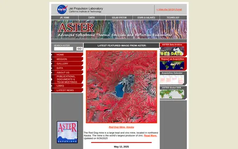
ASTER is a high resolution imaging instrument on the Terra satellite. It obtains detailed maps of land surface temperature, emissivity, reflectance and elevation. ASTER is a cooperative effort between NASA, Japan's Ministry of Economy, Trade and Industry, and Japan Space Systems. ASTER data can be accessed using NASA's Earthdata Search.
The ASTER Volcano Archive is a search and data discovery resource from JPL intended for the science community and the public. As of March 17, 2020 it contained 195,450 ASTER granules, 25,519 NOAA reports, 1,216 digital elevation maps and 6,338 thermal anomaly detections, along with other associated products. It provides access to ASTER data for volcanoes.
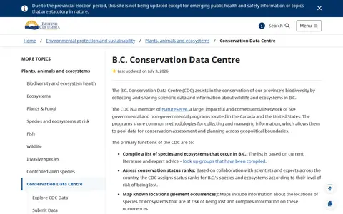
The B.C. Conservation Data Centre collects and shares scientific data about wildlife and ecosystems in British Columbia that are at risk. It compiles species and ecosystem lists, assigns conservation status ranks, maps known locations, and disseminates data. The centre is a member of the NatureServe network and offers online tools for exploring data.
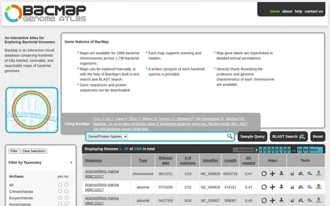
BacMap is an interactive visual database of annotated bacterial genomes, offering zoomable and searchable chromosome maps with hyperlinked gene labels. It provides searches by gene or protein name, genus, species, strain, biocard text and metabolic pathway, as well as BLAST search. Gene and protein sequences can be downloaded, and charts describe proteomic and genomic characteristics.
The BC Oil and Gas Commission Open Data Portal is an ArcGIS Hub-hosted platform that provides access to oil and gas sector data. Users can discover, analyze, and download datasets in formats including CSV, KML, Zip, GeoJSON, GeoTIFF, and PNG, access GeoServices, WMS, and WFS APIs, and create StoryMaps and Web Maps.
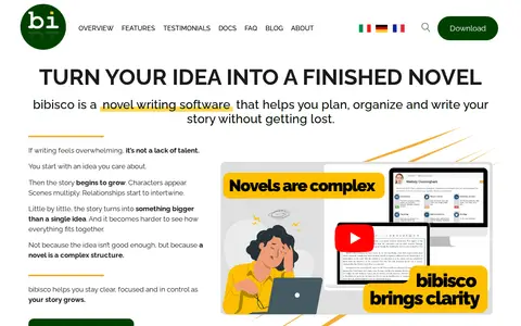
bibisco is a novel writing software for authors that helps plan, organize and write a story. It offers a word processor, character development, chapters and scenes management, outline and mind maps. A free version is available for Windows, Mac and Linux.