

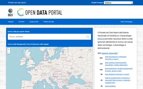
The INGV Open Data Portal provides public access to metadata from the institutional Data Registry of the Istituto Nazionale di Geofisica e Vulcanologia, covering research data in seismology, volcanology and environment. Data are attributed to their authors and can be searched by keyword or by drawing an area on a map; datasets are listed by availability of web services for programmatic access.
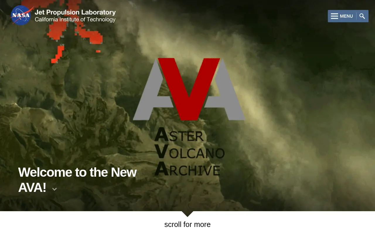
ASTER Volcano Archive
The ASTER Volcano Archive is a search and data discovery resource from JPL intended for the science community and the public. As of March 17, 2020 it contained 195,450 ASTER granules, 25,519 NOAA reports, 1,216 digital elevation maps and 6,338 thermal anomaly detections, along with other associated products. It provides access to ASTER data for volcanoes.
Links
Tags
-
0
The INGV Open Data Portal provides public access to metadata from the institutional Data Registry of the Istituto Nazionale di Geofisica e Vulcanologia, covering research data in seismology, volcanology and environment. Data are attributed to their authors and can be searched by keyword or by drawing an area on a map; datasets are listed by availability of web services for programmatic access.
-
0
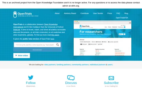
OpenTrials is a collaboration between Open Knowledge International and Dr Ben Goldacre of the University of Oxford DataLab. It aims to locate, match, and share all publicly accessible data and documents on all trials conducted on medicines and other treatments globally. A public beta version is available to explore.
-
0
Research data portal for exploring engineering records, including experimental data.
-
0
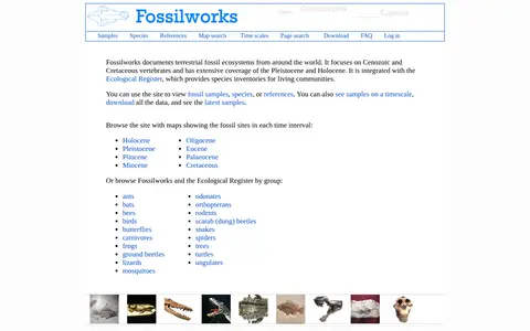
Fossilworks documents terrestrial fossil ecosystems worldwide, focusing on Cenozoic and Cretaceous vertebrates with extensive Pleistocene and Holocene coverage. It is integrated with the Ecological Register, which provides species inventories for living communities. Users can view fossil samples, species or references, see samples on a timescale, and download all data.
-
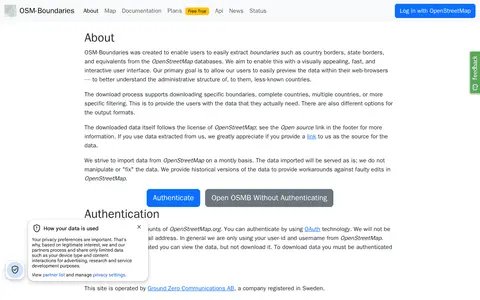
0A web interface for extracting administrative boundaries from OpenStreetMap, such as country and state borders. Users can preview boundaries in the browser and download specific boundaries, whole countries, or filtered selections in various output formats. Data is served unmodified from OpenStreetMap, and downloading requires authentication through an OpenStreetMap.org account.
-
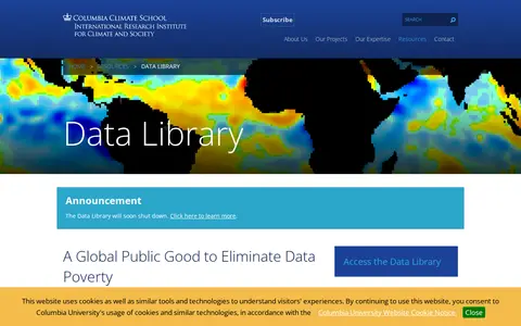
0The IRI Data Library compiles climate, geophysical, socio-economic and agricultural data into a common framework for cross-disciplinary research and analysis. It offers free access to hundreds of datasets, mapping tools known as Map Rooms, and training materials. An announcement states the Data Library will soon shut down.
Community notes
Reviews and discussion
No reviews yet
Be the first to share how this project worked for you.
Join the discussion
Sign in with a verified account to leave a review or join the discussion.
Sign in to review