




kinsources.net
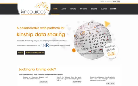
Kinsources is a collaborative web platform for sharing, archiving, analysing and comparing kinship data for scientific use. Users can browse and search the repository by combined data and metadata criteria, and datasets can be listed by topic areas such as region or marriage rates. The site reports figures including 127 datasets, 798,519 individuals and 266,785 unions.