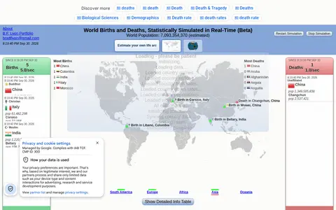

A website offering a real-time statistical simulation of births, deaths, and world population changes on an interactive 2D map and 3D globe. It also includes a personal Life Arc estimate based on age and a simplified U.S.-style actuarial curve, described as a broad statistical illustration rather than an individual or medical prediction. The page is labeled Beta and notes it is best viewed on desktop.
Directory
Search results
Published directory entries matching your search.
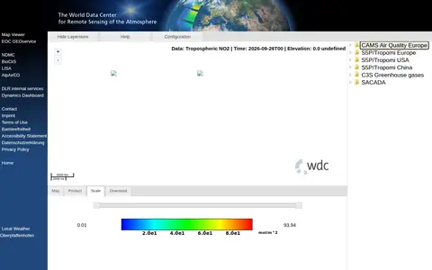
The World Data Center for Remote Sensing of the Atmosphere operates the WDC-RSAT Map Viewer tool. Its website links to related services including EOC GEOservice, NDMC, BioCliS, LISA, AlpAirEO, DLR internal services and Dynamics Dashboard, provides local weather data for Oberpfaffenhofen, and includes pages for contact, imprint, terms of use, accessibility statement and privacy policy.
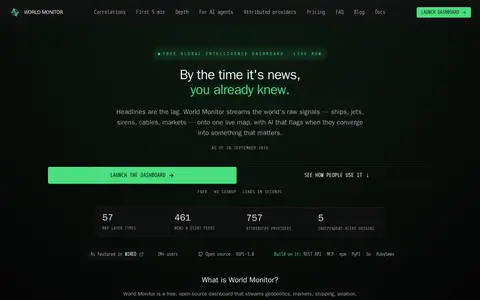
World Monitor is a free, open-source global intelligence dashboard that streams live data feeds onto a single world map with AI analysis. It covers conflict events, military flights, ship movements, market data, shipping chokepoints, internet outages and cyber signals, and provides a REST API with MCP equivalents.
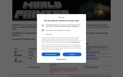
WorldPainter is an interactive graphical map generator for Minecraft Java Edition. It offers tools similar to a paint program to shape terrain and place materials, trees, snow and ice. The program is implemented in Java and requires at least version 17. Installers are offered for Windows, Mac OS X and Linux/UNIX, including portable archives.
Writality is free writing software for novels, worldbuilding, creative writing, manuscript editing, story graphs and custom map making. It offers a rich text editor, word count, global search, version history and smart references. It also supports themes, custom calendars, custom maps and readable backups in .md or .docx format. The site states the core is free forever.
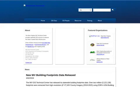
The West Virginia GIS Technical Center provides statewide GIS services to support the State's Spatial Data Infrastructure. Its services include the State Data Clearinghouse, a GIS People Directory and the MapWV.gov web mapping portal. The center publishes ArcGIS REST services for public use and offers individual datasets for download from the data clearinghouse. Files are archived and compressed into a single zip file for downloading.
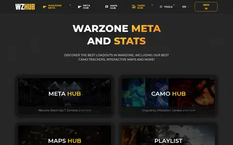
WZHUB is a Warzone platform offering Meta Loadouts, camo trackers, interactive maps and weekly playlists, with related apps covering Black Ops, DMZ and other titles. It also provides a Discord bot, and the site states its services are free.
XML-Sitemaps.com is a free online service that generates an XML sitemap for a website, which can be submitted to Google, Bing and other search engines. No registration is required; users enter a website link and get a sitemap for up to 500 pages, then download the sitemap files. It also prepares an HTML site map and a text sitemap.
Xonotic is a free arena-style first person shooter with a wide array of weapons and crisp movement. It offers multiple game modes, 25 official maps, a map editor, and the XonStat player statistics application. It is released under the GPLv3+ license and is downloadable for Linux, Windows and macOS without installation.
Yandex is a technology company that develops intelligent products and services powered by machine learning. It has provided search and information services since 1997, and also offers on-demand transportation, navigation, and mobile applications. The company operates 17 offices worldwide and has been listed on the NASDAQ since 2011.
Yandex Maps offers maps, routing, traffic, transit, business listings, and local place search.
Yomi maps anime episodes to canon and filler storylines for more selective viewing.
Official YouTube geosearch tool for finding videos by location, coordinates, and upload time.
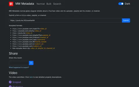
MW Metadata gathers metadata about a YouTube video, playlist, or channel from the YouTube API. Users submit a link or ID, and the tool supports reverse image search of thumbnails, geolocation in Google Maps, and translation of ISO country and language codes. Results can be exported as a zip file or shared.
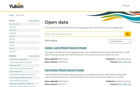
An open government portal that lets users find statistical, administrative, geospatial and other machine-readable data published by the Government of Yukon. Listings include publisher, format and update dates, with datasets such as registered Yukon societies, flood hazard maps and Yukon Liquor Corporation price lists.
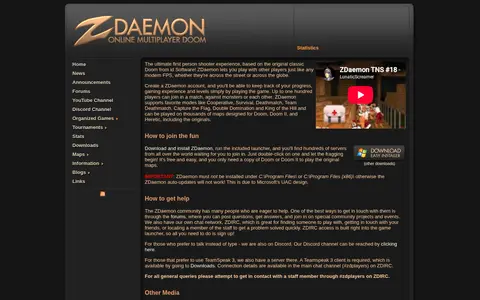
ZDaemon is a multiplayer Doom port based on the original classic Doom from id Software. Players can join matches against monsters or each other, with supported modes including Cooperative, Survival, Deathmatch, Team Deathmatch, Capture the Flag, Double Domination and King of the Hill. It is free and requires a copy of Doom or Doom II to play the original maps.
Zeplin is a design delivery platform that documents designs, maps user flows and tracks version changes outside design tools. It offers AI Design Review with built-in and custom checks, AI Organize for suggested structure and descriptions, and Connected Components linking designs to Storybook, GitHub and documentation.
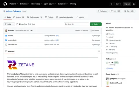
Zetane Viewer is a free tool for visualizing machine learning and artificial neural network models, including architecture and internal data such as feature maps, weights, biases and layer output tensors. The viewer supports .ONNX and .ZTN files and is available for Windows, Linux and Mac. It can also be launched from existing scripts or notebooks via the Zetane Python API.
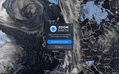
Zoom Earth is an interactive weather map of the world showing rain, wind, temperature and pressure, with forecasts for a selected location. It also offers satellite imagery, rain radar updated in near real time, hurricane and storm tracking, and wildfire and smoke monitoring. Mobile apps are available for iPhone, iPad and Android.