Directory

Search results

Published directory entries matching your search.

Search results

835 listings
tangrams.github.io

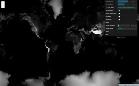
Tangram Heightmapper is an elevation data browser that auto-exposes the display so the highest and lowest visible elevations are white and black, producing a grayscale heightmap. The image can be exported and imported as a displacement map in 3D applications. Auto-expose can be unchecked to set minimum and maximum height levels manually.

Maps & Navigation 0
github.com

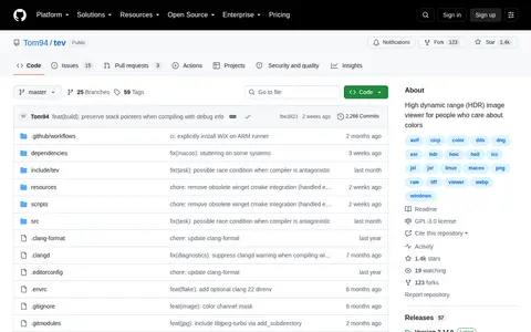
tev is a high dynamic range (HDR) image viewer for people who care about colors. It understands HDR and color profiles and displays HDR on all operating systems, and supports many file formats including gain maps, aux channels and animation.

Image Utilities 0
tf2classified.com

Team Fortress 2 Classified is a Team Fortress 2 experience built on its original inspirations and tone. It adds refreshed visuals, new gamemodes and maps, new weapons and new teams. The site lists version updates and separate Authoring Tools releases.

Mods & Add-ons 0
airisk.mit.edu

The AI Risk Repository is an MIT AI Risk Initiative project that provides authoritative data and frameworks to identify, prioritize, and manage AI risks. Its tools include a risk navigator, a living repository of AI risks, an incidents database, and a mapping of global AI laws to risk domains.

Models & Machine Learning 0
cartographersguild.com

The Cartographers' Guild is a website and forum for enthusiasts of fantasy maps, mapmaking and cartography of all types. It is a community of fantasy map makers that provides tutorials, references and resources for fellow mapmakers.

Maps & Navigation 0

The IRI Data Library compiles climate, geophysical, socio-economic and agricultural data into a common framework for cross-disciplinary research and analysis. It offers free access to hundreds of datasets, mapping tools known as Map Rooms, and training materials. An announcement states the Data Library will soon shut down.

Dataset & Data Search 0

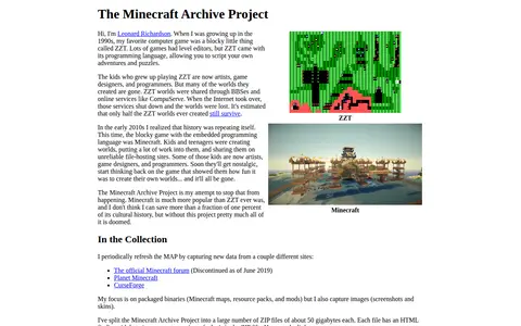
The Minecraft Archive Project is Leonard Richardson's effort to preserve Minecraft cultural history by periodically capturing packaged binaries such as maps, resource packs, and mods, along with screenshots and skins, from sites including Planet Minecraft and CurseForge. The archive is split into many ZIP files of about 50 gigabytes each, each with an HTML finding aid.

Game-Specific Tools 0

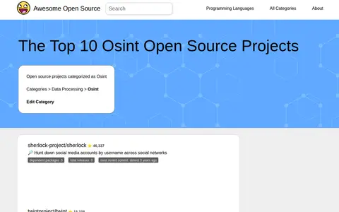
Awesome Open Source lists open source projects categorized as OSINT alongside repository details. Entries include Sherlock for hunting social media accounts by username, Twint for Twitter scraping, Amass for attack surface mapping and asset discovery, and SpiderFoot, which automates OSINT for threat intelligence. Each entry shows dependent packages, total releases and most recent commit information.

Productivity & Business Tools 0
Preview unavailable
theskylive.com

TheSkyLive provides information about celestial objects and tools for exploring and observing the night sky. It includes star maps, a 3D Solar System viewer, visibility listings for planets, comets and asteroids, and guides to eclipses and the Moon. Users can set an observing location, and without one the site defaults to Greenwich.

Space & Astronomy 0
th.gl

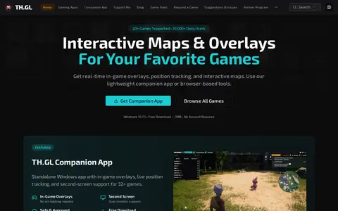
TH.GL offers interactive maps, in-game overlays and real-time position tracking for a catalogue of games, available through a Windows companion app or browser-based tools. The site lists over 50 supported games and says no account is required.

Game Tools & Utilities 0
Preview unavailable
threatbutt.com

Humorous cyber threat map showing global attack-style visualizations for awareness and demos.

Threat Intelligence 0
opendata.thunderbay.ca

The Thunder Bay Open Data Portal is the City of Thunder Bay's public platform for accessing municipal datasets. It allows users to discover, analyze, and download data in formats including CSV, KML, Zip, GeoJSON, GeoTIFF and PNG. The portal provides API links for GeoServices, WMS and WFS, and supports the creation of StoryMaps and web maps for data visualization.

Dataset & Data Search 0
tilesetter.org

Tilesetter is a tool for generating complete tilesets from base images and for building and exporting levels to Unity, Godot and GameMaker Studio 2. It offers automatic compositing that updates tilesets from parameters, and map editing that fixes tiles while drawing. The documentation covers version 2.0.0 and older releases.

Game Development 0
Preview unavailable
time.graphics

Time.Graphics is an online timeline creation platform for building interactive timelines. It offers AI-generation that is free to try, a dashboard for managing teachers, students, classrooms and subscriptions, imports from Google Calendar, Google Maps, YouTube and Google Sheets, and export options for offline viewing. Public timelines number over 500,000. Premium subscription plans are listed at $4.9 for 2 days, $18.9 for 1 Month, and $97.9 for 1 year.

Curated Directories 0
timeline.knightlab.com

TimelineJS is an open-source tool for building visually rich, interactive timelines, described as a free, easy-to-use tool for telling stories in a timeline format. Beginners can create a timeline using a Google spreadsheet, while experts can use JSON skills for custom installations. The tool can pull in media from sources including Twitter, Flickr, YouTube, Vimeo, Google Maps, Wikipedia and SoundCloud.

Curated Directories 0
topostext.org

A free tool, mobile app and website for students and travelers, mapping 1200 years of Greek literature to the cities, peoples and monuments of the ancient world. It provides 886 ancient texts in digital form and 8150 mapped historic places, with texts and places stored on-device so no internet access is necessary.

Educational & Academic Books 0
apps.esri.ca

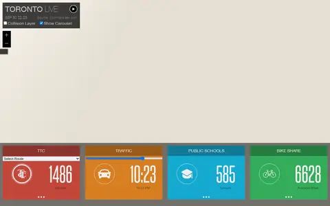
Esri map showing Toronto live layers, city activity, services, and local geographic data.

Geolocation Tools 0

The Toronto Police Service Public Safety Data Portal provides police open data, data analytic and web map applications to the public. The portal aims to improve the understanding of policing and improve transparency through open data.

Dataset & Data Search 0
nlm.nih.gov

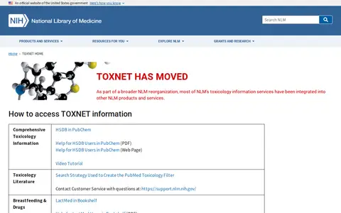
TOXNET redirects users to other National Library of Medicine products after a broader NLM reorganization. The page explains access routes for toxicology resources including HSDB, LactMed, ChemIDplus, LiverTox and Haz-Map. It states that PubChem serves as NLM's single source for chemical information starting December 2022 and notes that TOXMAP, CTD and Pillbox were retired.

Dataset & Data Search 0
tpscalls.live

Live Toronto police calls dashboard showing public incident categories and map-based activity.

IoT Security 0
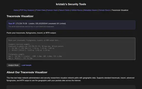
kriztalz.sh

TracerouteVisualizer is a free browser tool that visualizes traceroute output with geographic maps. Users paste standard traceroute, tracert, flyingroutes, or MTR output, and the tool shows hop addresses, hostnames, locations, ISP and AS information, packet loss, response times and IXP detection. It is aimed at network administrators and security researchers for troubleshooting and security research.

Security Scanners & Resolvers 0
trafficvision.live

TrafficVision.Live is a free public directory of live cameras. It aggregates over 155,000 live feeds from 700+ official sources across 130+ countries, including traffic, weather, beach, airport, wildlife, and landmark cams. Users can browse feeds via an interactive world map, build custom driving routes to track cameras along a path, view AI traffic overlays, and play the built-in CamGuessr location guessing game. No account or signup is required.

Fun & Interesting 0
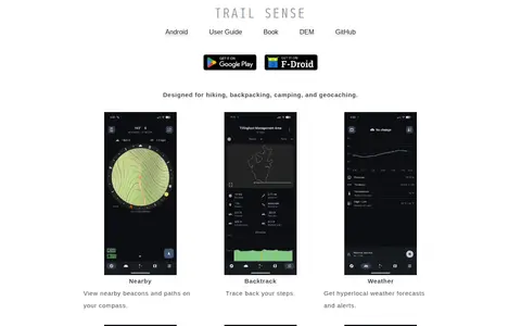
kylecorry.com

Trail Sense is an offline Android application designed for hiking, backpacking, camping, and geocaching. It offers tools including nearby beacon and path viewing, step backtracking, hyperlocal weather forecasts and alerts, sun and moon position tracking, photo-based offline maps, flashlight, clinometer, and packing lists. No user data is transmitted from the device, and the app does not require internet connectivity. It is distributed under the MIT License, and its developers state it is for informational purposes only and should not be relied on as a sole resource for survival activities.

Outdoor & Survival 0
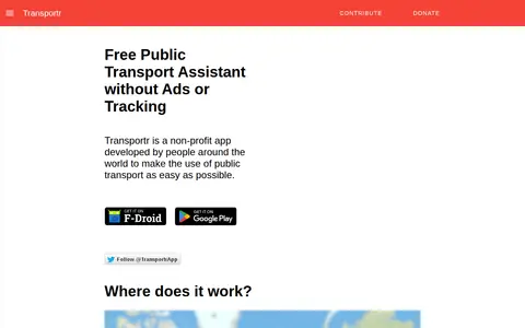
transportr.app

Transportr is a non-profit, open-source Android app for public transport that aims to make using transit easier. It displays stations and trips on maps, finds connections and transfers, shows live departures, including real-time delays in supported areas, and uses GPS for the current position. It saves frequently used locations and trips, and its source code is open.

Android Apps & Tools 0