
github.com
A curated list of AI market maps from 2026, 2025, and 2024, by Joy Larkin.
Directory
Published directory entries matching your search.
A curated list of AI market maps from 2026, 2025, and 2024, by Joy Larkin.
ArcGIS Hub page for discovering, analyzing and downloading data. Files can be downloaded in CSV, KML, Zip, GeoJSON, GeoTIFF or PNG formats, and API links are provided for GeoServices, WMS and WFS. Analysis is available through charts and thematic maps, and users can create StoryMaps and Web Maps.

Chinese search engine for web pages, images, news, maps, apps, and local services.

Bonk is a multiplayer physics game for up to eight players at once, in which players push opponents off the edge of the level and the last one standing wins. It offers last-man-standing and team-based matches, an in-game level editor, and community-created custom maps. The current HTML5 version replaced the earlier Flash game, and accounts, maps and skins were transferred.
The California State Geoportal is a site for discovering, analyzing and downloading data. Downloads are offered in CSV, KML, Zip, GeoJSON, GeoTIFF or PNG, and API links are provided for GeoServices, WMS and WFS. Users can analyze data with charts and thematic maps and create StoryMaps and Web Maps.

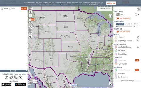
CalTopo is a backcountry mapping tool offering trip planning tools and topographic maps, including USGS and USFS topos and aerial imagery. It supports printing to geospatial PDFs, exporting to KMZ and MBTiles, elevation profiles and terrain analysis, and finding shared maps from other users.

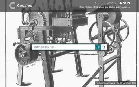
Canadiana.ca is a digital collection of Canadian documentary heritage. Its Monographs collection spans three and a half centuries of Canadian documentary history. The Serials collection includes dailies, weeklies, specialized journals and mass-market magazines, as well as city directories and annual reports from churches, schools and corporations. Government Publications holds over 1.7 million pages of historical pre-1920 colonial, provincial and federal government documents. The Maps collection contains nearly 22,000 Canadian maps digitized from the 1:50,000 scale National Topographic Series, dating from 1905 to 2012.

Cesium story viewer for exploring 3D geospatial scenes, maps, satellite data, and location narratives.

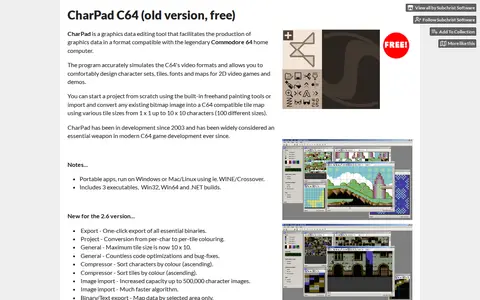
CharPad C64 is a Commodore 64 character graphics editor for Windows. It simulates the C64 video formats and is used to design character sets, tiles, fonts and maps, or to import and convert bitmap images into C64-compatible tile maps. The listed free version is portable, requiring no installation.
This hub provides access to City of Abbotsford open data for discovery, analysis and download. Data can be downloaded in CSV, KML, Zip, GeoJSON, GeoTIFF or PNG formats, and API links are available for GeoServices, WMS and WFS. Charts and thematic maps support analysis, and users can create StoryMaps and Web Maps.
An ArcGIS Hub catalogue for Brantford open data. It lets users discover, analyze and download datasets as CSV, KML, Zip, GeoJSON, GeoTIFF or PNG, and find API links for GeoServices, WMS and WFS. Charts and thematic maps support analysis, and StoryMaps and Web Maps can be created.
The City of Surrey Open Data Catalog is a portal for discovering, analyzing and downloading municipal data. Data can be downloaded in formats including CSV, KML, Zip, GeoJSON, GeoTIFF and PNG, and API links are provided for GeoServices, WMS and WFS. Analysis is possible through charts and thematic maps, and StoryMaps and Web Maps can be created.
CO Open Data is a data hub for discovering, analyzing and downloading data. Datasets can be downloaded in CSV, KML, Zip, GeoJSON, GeoTIFF or PNG, and API links are provided for GeoServices, WMS and WFS. It supports analysis with charts and thematic maps and creation of StoryMaps and Web Maps.

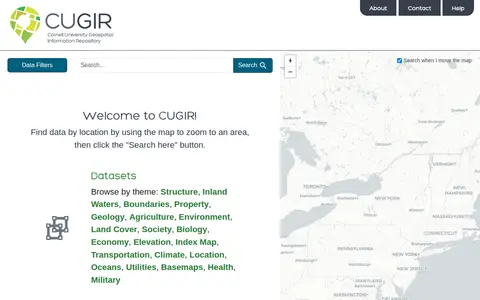
CUGIR is a repository offering datasets and scanned maps. Datasets can be browsed by theme or found by zooming a map to an area and clicking a search button. Themes include boundaries, geology, agriculture, land cover, transportation, climate and elevation. The scanned maps section provides access to all map holdings.

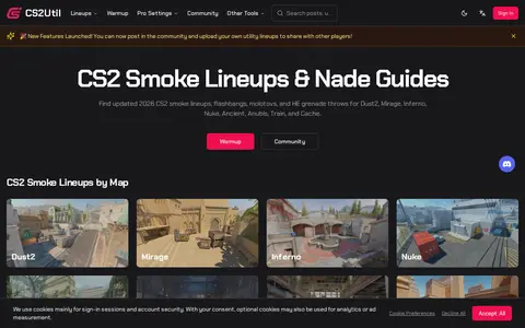
CS2UTIL provides Counter-Strike 2 smoke lineups and grenade guides organized by map, covering smokes, flashbangs, molotovs, and HE grenades for maps including Dust2, Mirage, Inferno, and Nuke. It also lists professional player settings, profiles, and crosshair configurations. Lineups are shown on 2D maps with throw instructions and videos.

This page is the creations list of Mario Kart PC, a free online Mario Kart game. It presents circuits and courses shared by the Mario Kart PC community. Players can share their own circuit creations via a "Share circuit" button at the bottom-left of the circuit page.
ArcGIS Hub is a platform for discovering, analyzing and downloading data. Data can be downloaded in formats including CSV, KML, Zip, GeoJSON, GeoTIFF and PNG, and API links are provided for GeoServices, WMS and WFS. Users can analyze data with charts and thematic maps, and create StoryMaps and Web Maps.

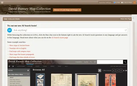
Online historical map collection with over 151,000 maps and related images, including rare 16th through 21st century maps of continents and regions. The searchable database includes the LUNA Viewer and an AI Search Assist. A physical collection is hosted at the David Rumsey Map Center at Stanford University Library.

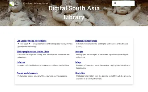
The Digital South Asia Library offers dictionaries, gazetteers, photographs, prints, drawings, maps, statistics, bibliographies, indexes, books and journals for reference and research concerning South Asia. Its collections cover reference resources, bibliographies, images, maps, books and journals, and statistics from the colonial period onward.

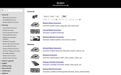
donjon is a collection of random generators for Dungeons & Dragons and other tabletop role-playing games. Generators cover fantasy names, world maps, weather, quests, NPCs, loot, castles, towns, calendars, dungeons, inns and treasure maps, with sections for AD&D, d20/Fantasy, Microlite20, Pathfinder and D&D 4e. It also includes an initiative tracker and calculators.

DrivingSimulator is a 3D driving simulator developed by FrameSynthesis Inc. that operates on Google Maps. It allows users to drive vehicles for activities including safe driving, off-road travel, parking, circuit racing, and global exploration. Steering is controlled via left and right arrow keys, while up and down arrow keys manage forward and reverse movement; mobile devices use a virtual control stick. The project’s development is suspended due to Google Maps API usage costs, the page may cease functioning at any time, and no feature requests will be addressed.
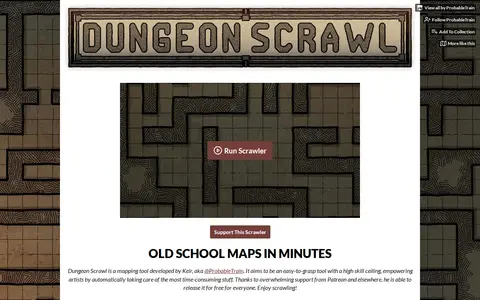
Dungeon Scrawl is a grid-based mapping tool developed by Keir (@ProbableTrain) for creating tabletop battle maps. It offers style presets, brushes and layers, multi-page PDF export with real-world grid sizing, and TSV import of dungeons generated with Donjon. Maps can be exported for use in virtual tabletops such as Roll20. It is free and listed as in development.

DungeonFog is an online TTRPG map editor for creating custom battle and world maps for games such as Dungeons & Dragons, Pathfinder and Cthulhu. Users draw dungeons, buildings or overland terrain maps and populate them with assets, then export or print them or play inside DungeonFog. The asset library holds over 3,000 assets.

Engaging Data is a virtual workshop and gallery of JavaScript tools, data visualizations, calculators and maps on topics including maps, environment, energy, finance, politics, health and math. A post covers how mask wearing and effectiveness can reduce the coronavirus transmission rate R0; that visualization does not account for vaccines, which the source calls a limitation.