AllTrails is an app for hiking, biking, and running that provides curated guides, trail maps, photos, and reviews for over 500,000 trails worldwide. It offers live tracking, downloadable maps for offline use, and tools to create custom routes.
BlueW is a map of free water bottle refill locations. Users look for the blueW.org window decal at listed locations to refill reusable water bottles. The site also invites users to add refill locations to the map.
Canadiana.ca is a digital collection of Canadian documentary heritage. Its Monographs collection spans three and a half centuries of Canadian documentary history. The Serials collection includes dailies, weeklies, specialized journals and mass-market magazines, as well as city directories and annual reports from churches, schools and corporations. Government Publications holds over 1.7 million pages of historical pre-1920 colonial, provincial and federal government documents. The Maps collection contains nearly 22,000 Canadian maps digitized from the 1:50,000 scale National Topographic Series, dating from 1905 to 2012.
Dolici is a map-based guide to acclaimed restaurants and bars worldwide. It aggregates recognitions from Michelin, World's 50 Best, James Beard and other guides into one place, listing over 110,000 venues across 22 guides. Users can browse a city before traveling or find acclaimed venues nearby. Sign-up is described as free, with a map and options to save and plan.
DrivingSimulator is a 3D driving simulator developed by FrameSynthesis Inc. that operates on Google Maps. It allows users to drive vehicles for activities including safe driving, off-road travel, parking, circuit racing, and global exploration. Steering is controlled via left and right arrow keys, while up and down arrow keys manage forward and reverse movement; mobile devices use a virtual control stick. The project’s development is suspended due to Google Maps API usage costs, the page may cease functioning at any time, and no feature requests will be addressed.
An Android app that wraps the web version of Google Maps in a restricted WebView for access when OpenStreetMap isn't enough. It depends on the Google Maps website, a non-free network service. It requires Android 5.0 or newer and is licensed under the GNU Affero General Public License v3.0 or later.
Liveuamap is a map-centric news site founded in 2014 by developers and journalists. Liveuamap shows conflict and other news geographically, using AI web crawlers and analysts to fact-check stories before editors place them on the map. The site offers an archive of past site information and has expanded its coverage beyond the Ukrainian conflict to other regions, including Israel-Palestine.
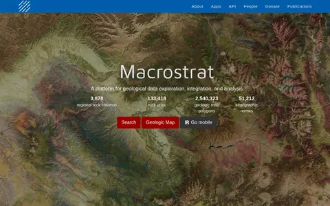
Macrostrat is a platform for exploring, integrating and analysing geological data. It aggregates geologic maps from data providers and links map polygons to rock columns, stratigraphic names and geochronological intervals. The site offers a searchable geologic map and an API. Interactive applications built on the platform are intended for educational and research purposes.
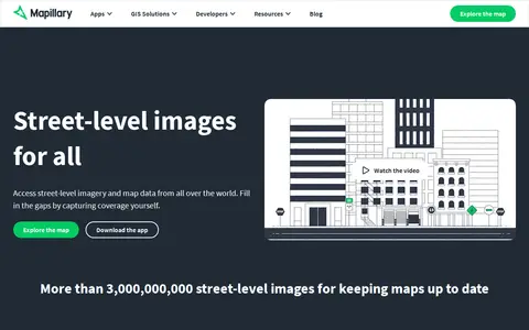
Mapillary is a platform that hosts, processes, and publishes street-level imagery and map data. It combines collaborative image contributions with computer vision to scale and automate mapping, and offers access to street-level imagery and map data from around the world.
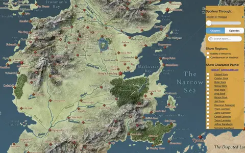
An interactive map of the world in A Song of Ice & Fire and A Game of Thrones. A slider lets visitors hide details beyond the chapters or episodes they have completed, and the paths of major characters can be animated. The map links to further details on the Westeros.org wiki and uses the Google Maps API.
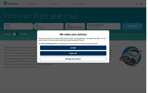
SeatMaps is a travel resource for finding and comparing airline seat maps. It offers seat maps for 740 airlines and 3299 aircraft, with seat comparisons, cabin layouts, legroom, cabin amenities, photos, passenger reviews and 360° cabin views. It covers more than 800 airlines worldwide. The site also provides fleet overviews of popular airlines and 3D cabin views of selected aircraft.
Abandoned Rails is a site featuring maps, pictures and the history of former railway grades across the United States and abandoned railroad routes in North America. Visitors can browse routes by state or by railroad company, and contributions from railfans are accepted by email.
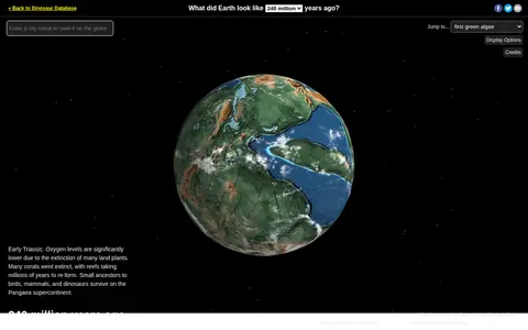
Ancient Earth is a visualization of the globe across 750 million years of Earth's history. Users can search for addresses and step through time periods, viewing paleogeographic maps by C.R. Scotese, with a globe that can be rotated and options to show clouds and the equator.
House Creep is a web-based directory that catalogues stigmatized and noteworthy residential properties worldwide. It offers free access to crowdsourced historical reports on homes with criminal, creepy, or notable pasts, including murder houses, haunted residences, and famous historic homes. The platform includes curated property collections, a city search function, and a paid VIP tier that unlocks an interactive map for location-based property history searches.
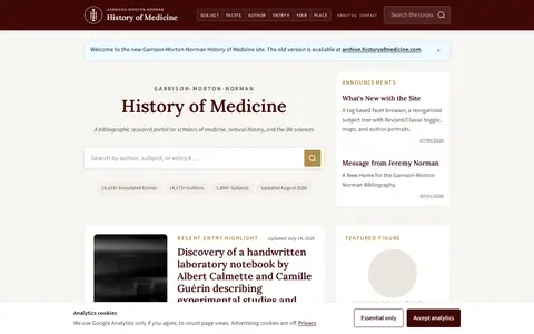
A bibliographic research portal for scholars of medicine, natural history, and the life sciences. It offers browsing and searching of the Garrison-Morton-Norman corpus, with annotated entries, a facet browser, a timeline, and a map view.
Pianos.pub is a community map that catalogs street and public pianos worldwide. It lists exact locations, photos, sightings and availability reports, and combines public datasets, historic social posts, personal knowledge and user contributions. Every piano keeps a history of sightings, comments and availability reports, and users can submit missing instruments.
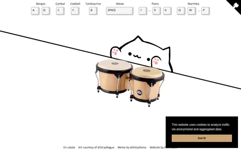
Bongo Cat is a playful web page that invites users to hit the bongos like Bongo Cat. The page maps keyboard keys to sounds including bongos, cymbal, cowbell, tambourine, meow, piano and marimba.
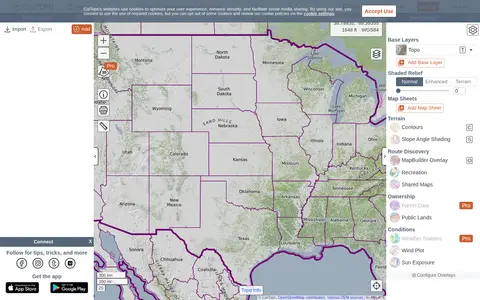
CalTopo is a backcountry mapping tool offering trip planning tools and topographic maps, including USGS and USFS topos and aerial imagery. It supports printing to geospatial PDFs, exporting to KMZ and MBTiles, elevation profiles and terrain analysis, and finding shared maps from other users.
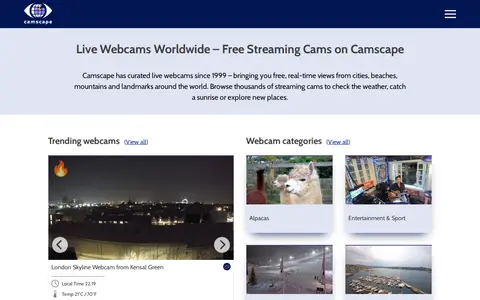
Camscape is a directory of free live streaming webcams, curated since 1999 and organized by location since a 2004 redesign. Listings cover beaches, cities, landmarks and nature, and are built from user submissions. The site offers browsing by category, location, an interactive map, a trending section and a Nearby feature introduced in 2025.
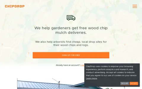
ChipDrop matches gardeners who want free wood chip mulch with arborists and tree companies seeking to get rid of wood chips and logs. Gardeners sign up and place a request to join a neighborhood list; a local tree trimming company in the area might deliver a load. Arborists can view a map on a phone to find dump spots.
CoverageMap compares cellular coverage from carriers using crowdsourced speed tests and signal measurements. Users can view coverage maps, test connections, and compare carriers. The service is available in four countries.
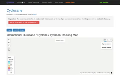
Cyclocane is a cyclone and hurricane tracker that shows an international hurricane, cyclone and typhoon tracking map. The site lists active tropical storms, tropical disturbances, tropical storm risk areas and cyclone, typhoon and hurricane season dates. It also links to storm names, spaghetti models and tropical storm risk pages.