
Potpie is an AI-native SDLC automation platform. It maps how systems work into a context graph and runs AI agents on it inside the user's own VPC, according to the page. The documentation page describes creating and updating documentation from connected product knowledge.
Directory
Search results
Published directory entries matching your search.
ArcGIS dashboard mapping power plants across the United States with energy and location data.
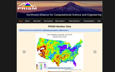
PRISM Climate Data is a project of the PRISM Group at Oregon State University that gathers weather observations, applies quality control and mapping methods, and develops spatial datasets showing short- and long-term weather patterns. Datasets cover 1895 to the present and are offered free of charge, with bulk downloads and single grid cell time series.
Privatiser anonymizes IPs, API keys, passwords, PII and cloud identifiers before text is pasted into AI tools. It runs in the browser with local processing, preserves structure, and offers a reversible mapping to restore values in replies. It is free and open source.
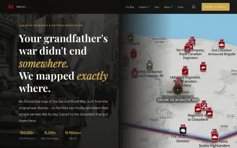
Project ’44 is a free interactive map of the Second World War built from original war diaries, with unit positions and diary pages traced to scanned primary documents. It also offers search of units by name, date or place and stories from the archive.
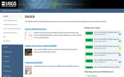
The PAGER system is part of the USGS Earthquake Hazards Program and provides fatality and economic loss impact estimates after significant earthquakes worldwide. The page links to maps and lists of PAGER events from the past 24 hours, 7 days and 30 days, and to an archive search that defaults to events with PAGER products from the past 30 days, refinable by the user.
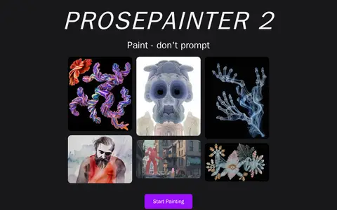
ProsePainter 2 is a digital painting canvas that uses text prompts, style ingredients and image references to generate brushes and guide AI-assisted artwork. It offers edge and depth map guides, control of AI strength, canvas expansion up to 5k, upscaling and mirroring options.
Protected Planet is a source of data on protected areas and other effective area-based conservation measures, updated monthly with submissions from governments, organisations, landowners and communities. It provides figures on global terrestrial, inland water and marine coverage. It also covers the ICCA Registry, an online platform where indigenous peoples and local communities provide data, case studies, maps, photos and stories.

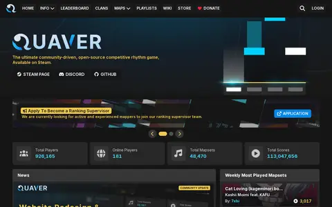
Quaver is a community-driven, open-source competitive rhythm game available on Steam. The site lists mapsets and scores and links to a wiki covering gameplay, editor, rules, skins, multiplayer and ranking. A v1.7 client update added features, improvements and bug fixes.
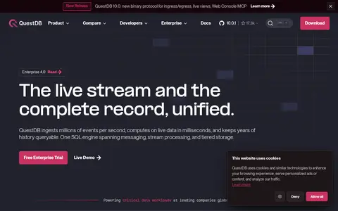
QuestDB is an open-source time-series database engineered for low latency. It uses a column-oriented, time-partitioned storage engine with memory-mapped files and vectorized execution for high-throughput ingestion and millisecond-level analytical queries. SQL is extended with time-series operators such as SAMPLE BY, LATEST ON, ASOF JOIN, WINDOW JOIN and HORIZON JOIN.
r/dungeonscrawl points to a Reddit community or thread with discussion, guides, troubleshooting, or shared resources.
r/geometrydash points to a Reddit community or thread with discussion, guides, troubleshooting, or shared resources.
Radio Garden lets users explore live radio stations around the world through an interactive globe.

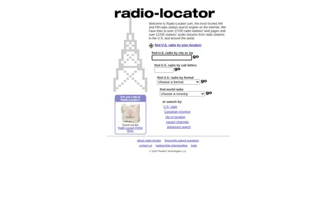
Radio-Locator is an AM and FM radio station search engine. It links to over 17,100 radio stations' web pages and over 12,200 audio streams from stations in the U.S. and around the world. Users can find U.S. radio by location, city or zip, call letters, or format, and search world radio by state, Canadian province, city or location.
Radio propagation and station search tool for checking amateur radio spots and signal paths.
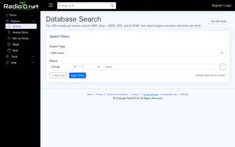
RadioID database for searching DMR radio IDs, callsigns, repeaters, and user records.
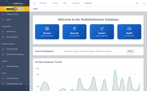
Radio frequency database for public safety, aviation, trunked systems, and scanner information.
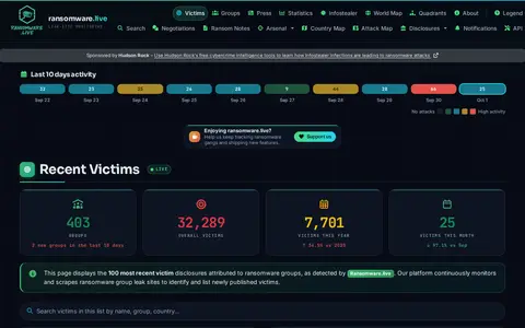
Ransomware.live tracks and monitors ransomware groups' victims and their activity. Created by security researcher Julien Mousqueton, it provides information on ransomware groups, victims, negotiations, and payment demands, and includes a live map showing the latest ransomware attacks.
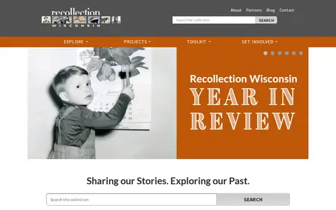
Recollection Wisconsin is a digital collection that allows users to discover photos, maps, books, artifacts, oral histories and more from dozens of Wisconsin communities. The site is framed around sharing stories and exploring the past.
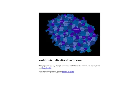
An early attempt to visualize how subreddits relate to each other. The page states that it has moved and directs visitors to a newer Map of reddit for the most recent version.
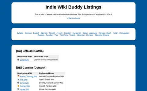
Redirect List is the set of wiki redirect listings included in the Indie Wiki Buddy browser extension, which helps users find independent wikis. As of extension version 3.14.6, the list covers redirects for wikis in multiple languages including English, Spanish, French, German, Japanese and others, with entries mapping redirected pages from Fandom wikis to their destination independent wiki sites.
Durham open-data portal for searching municipal datasets, maps, and local government information.
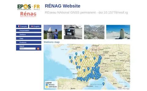
RENAG-DC is the website for the REseau NAtional GNSS permanent, a national observation service supported by CNRS-INSU and Epos-France. The site offers access to GNSS station information, data sharing policies, data availability and quality details, real-time products, and a map of participating stations.
ArcGIS dashboard mapping residential fire fatalities in Indiana with incident and location data.